PREHISTORIC DARTMOOR

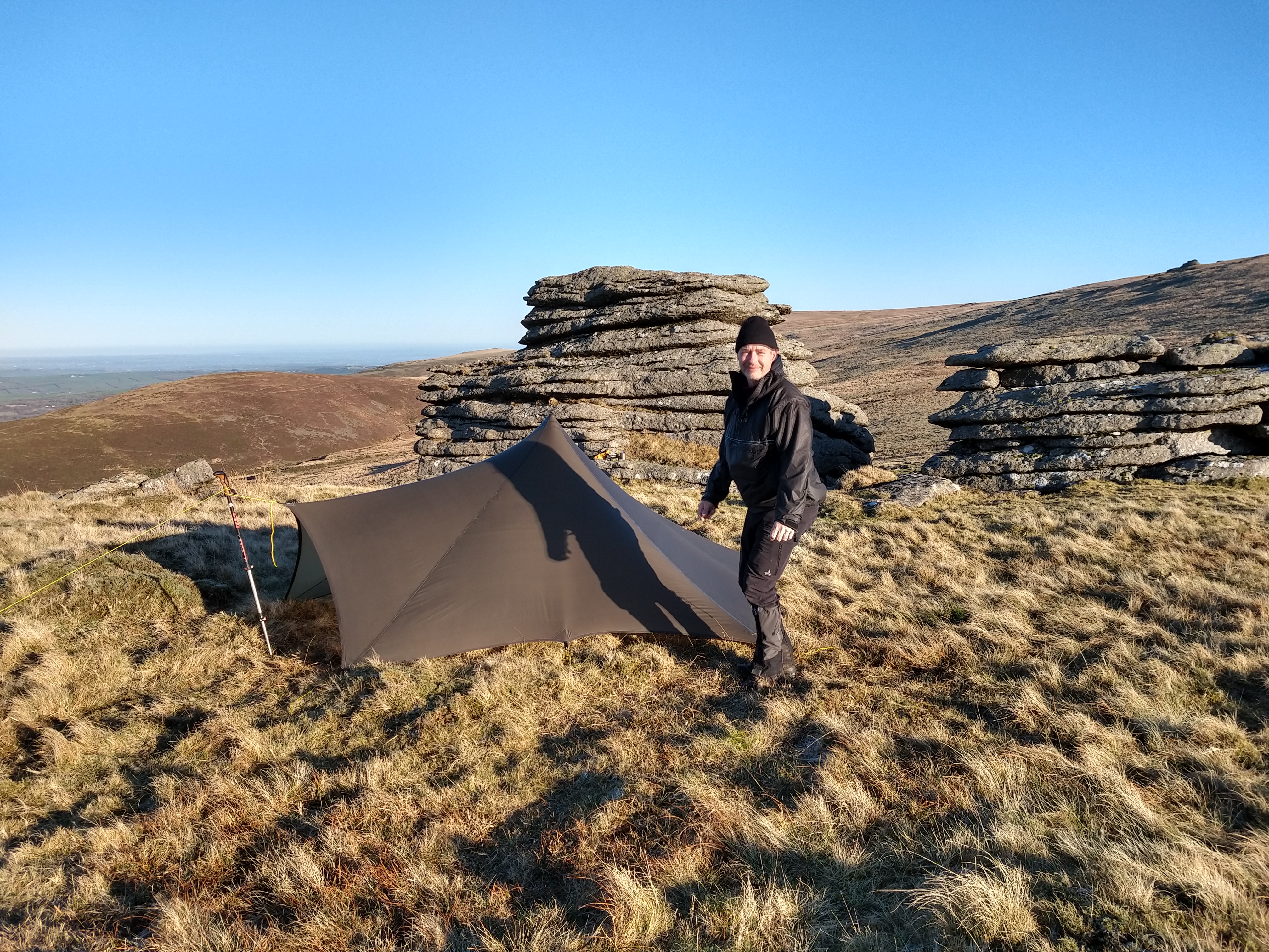
A HIKE THROUGH NORTH EAST DARTMOOR’S ANCIENT ANTIQUITIES

Belstone

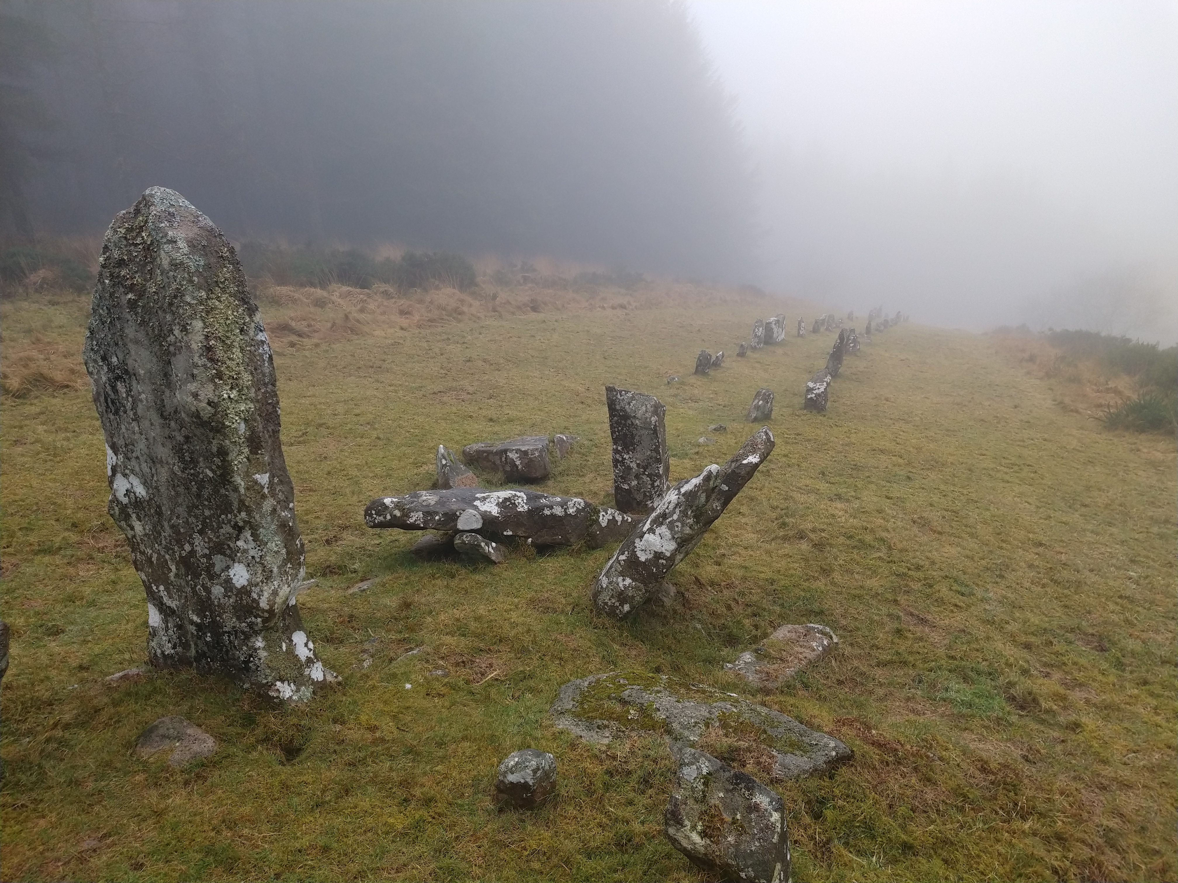
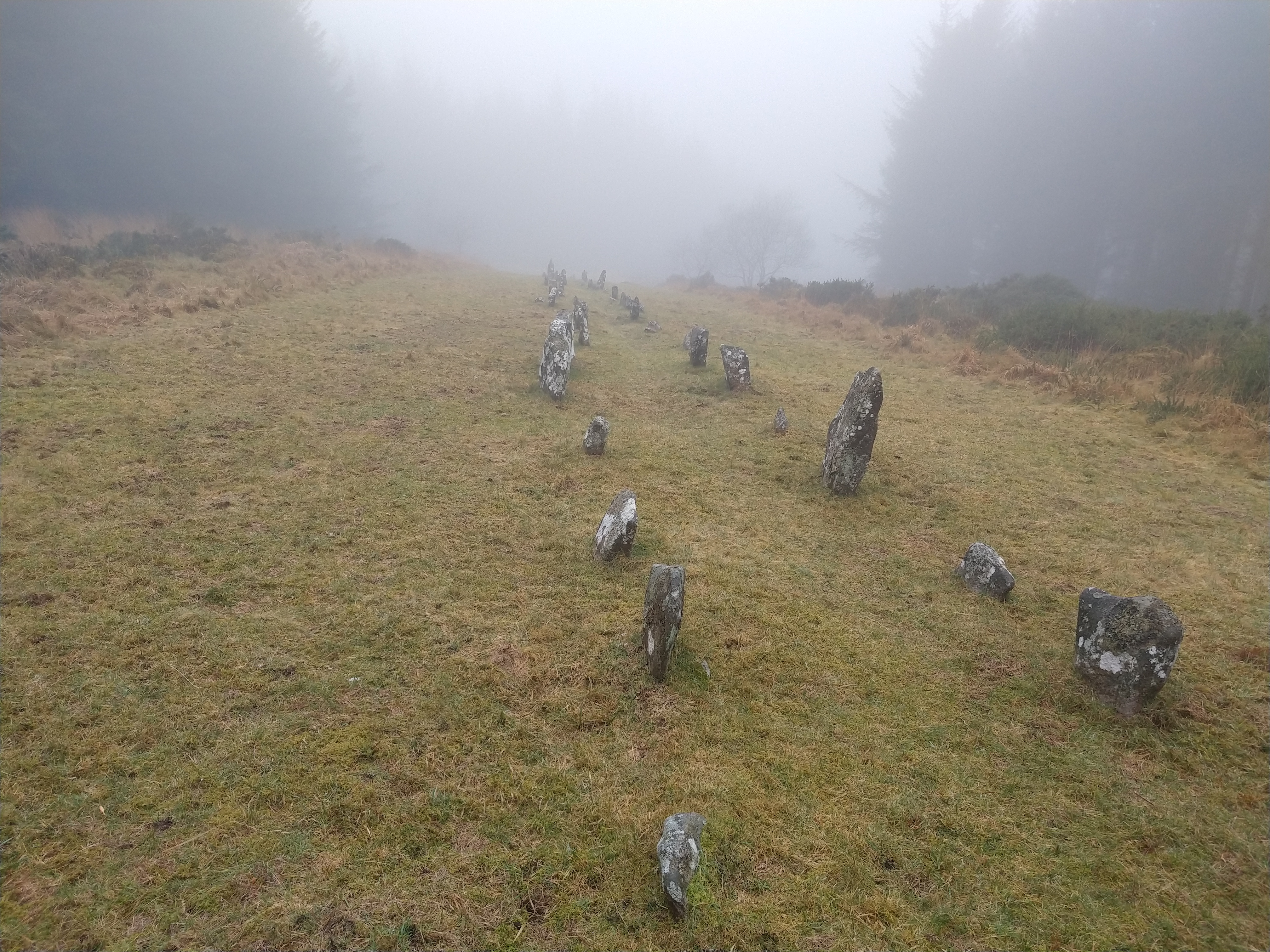
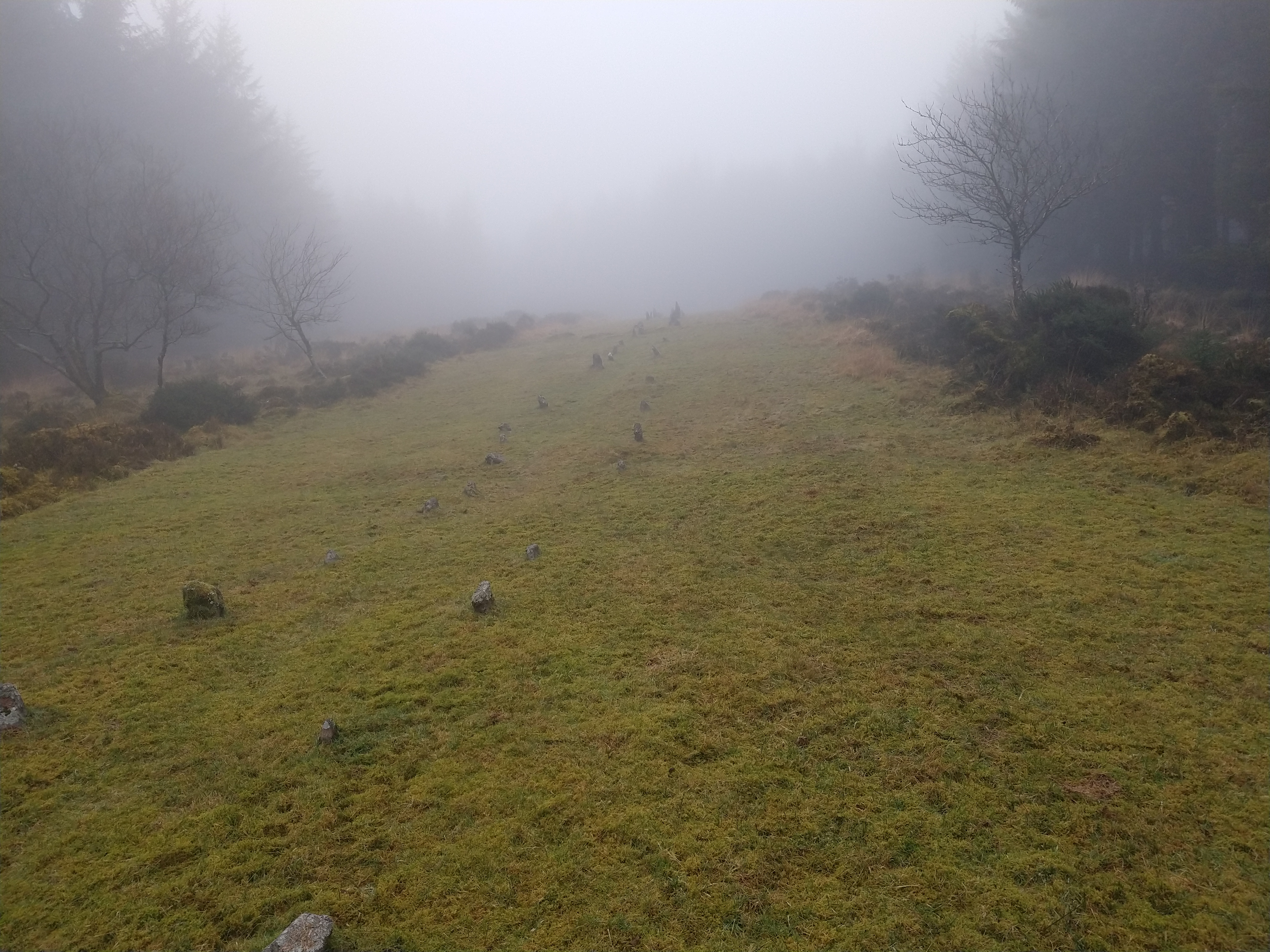
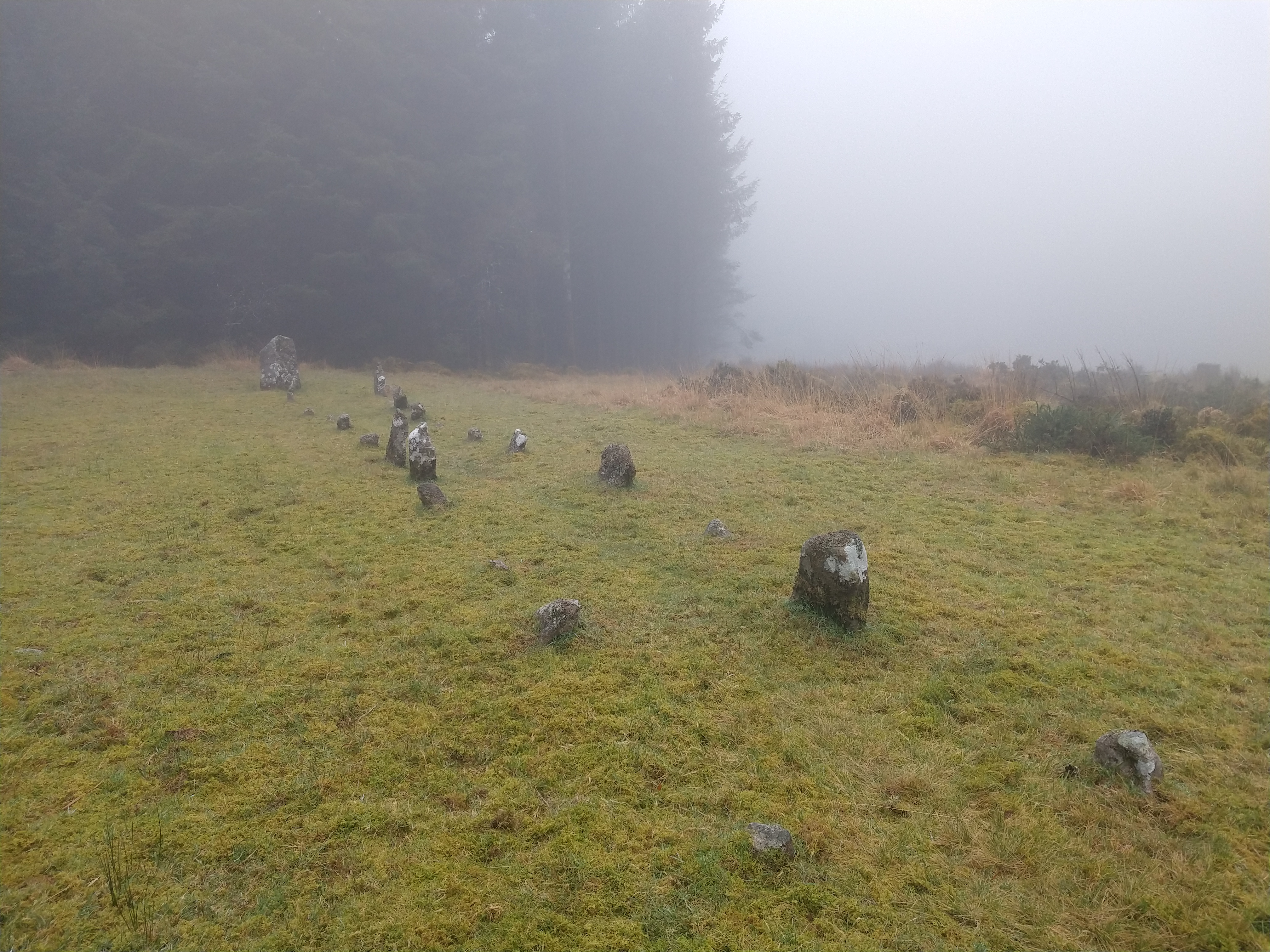
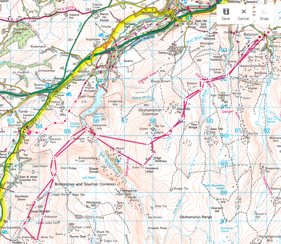
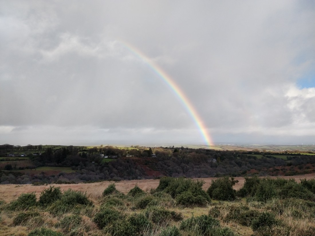
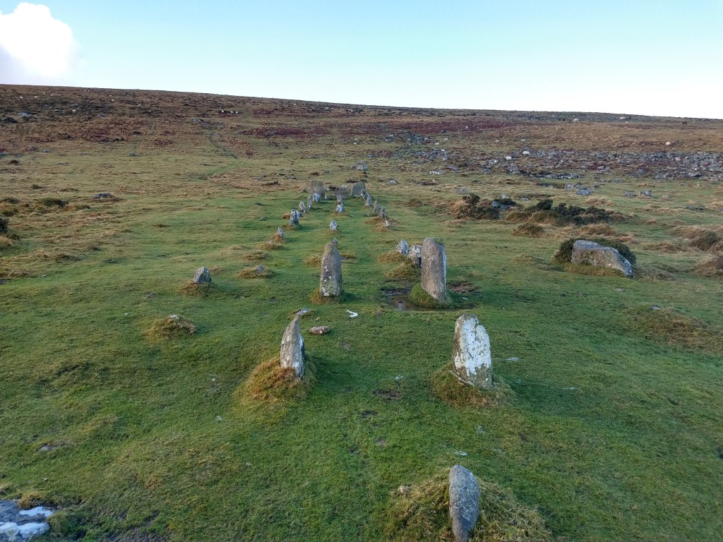
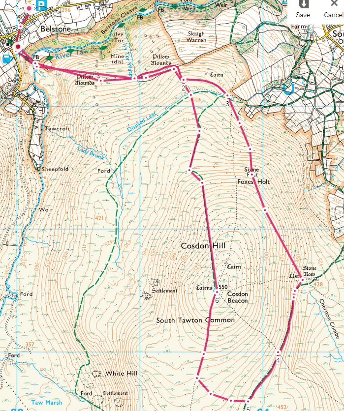
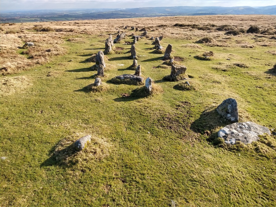
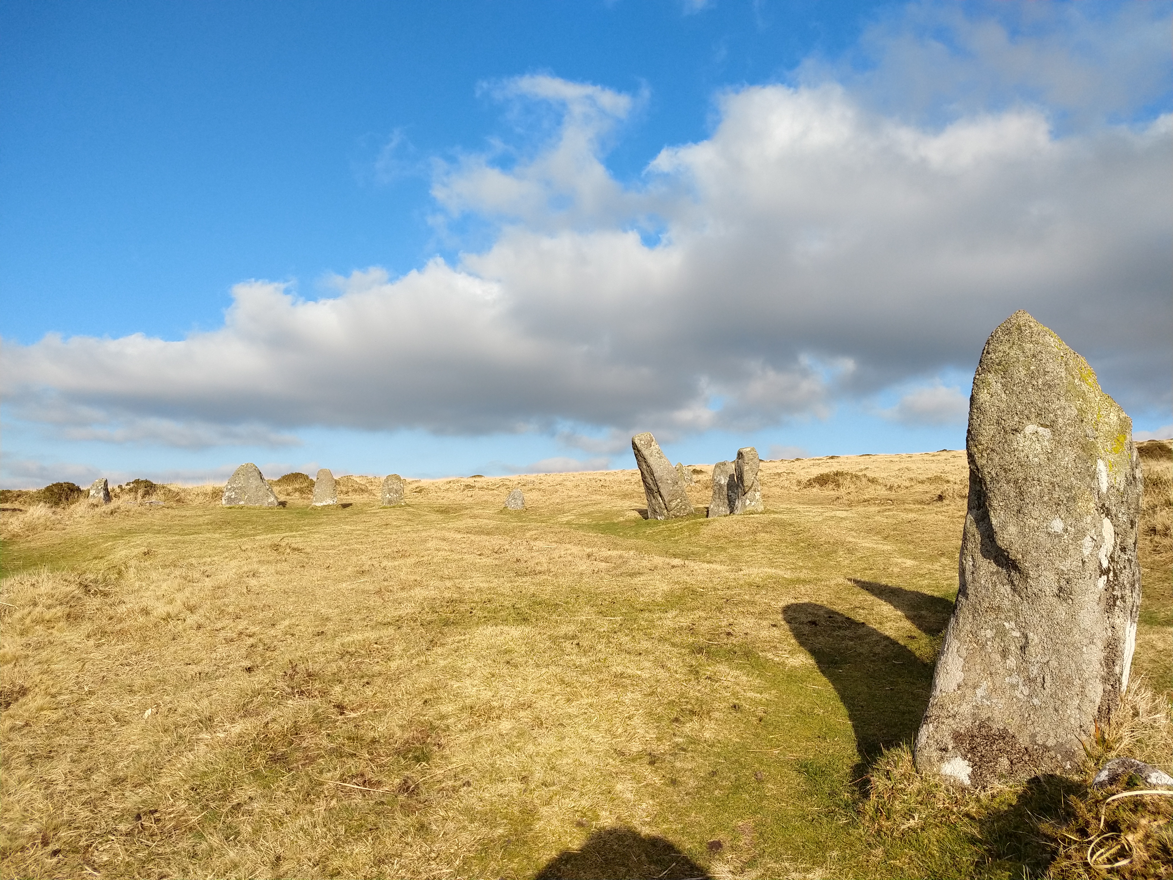
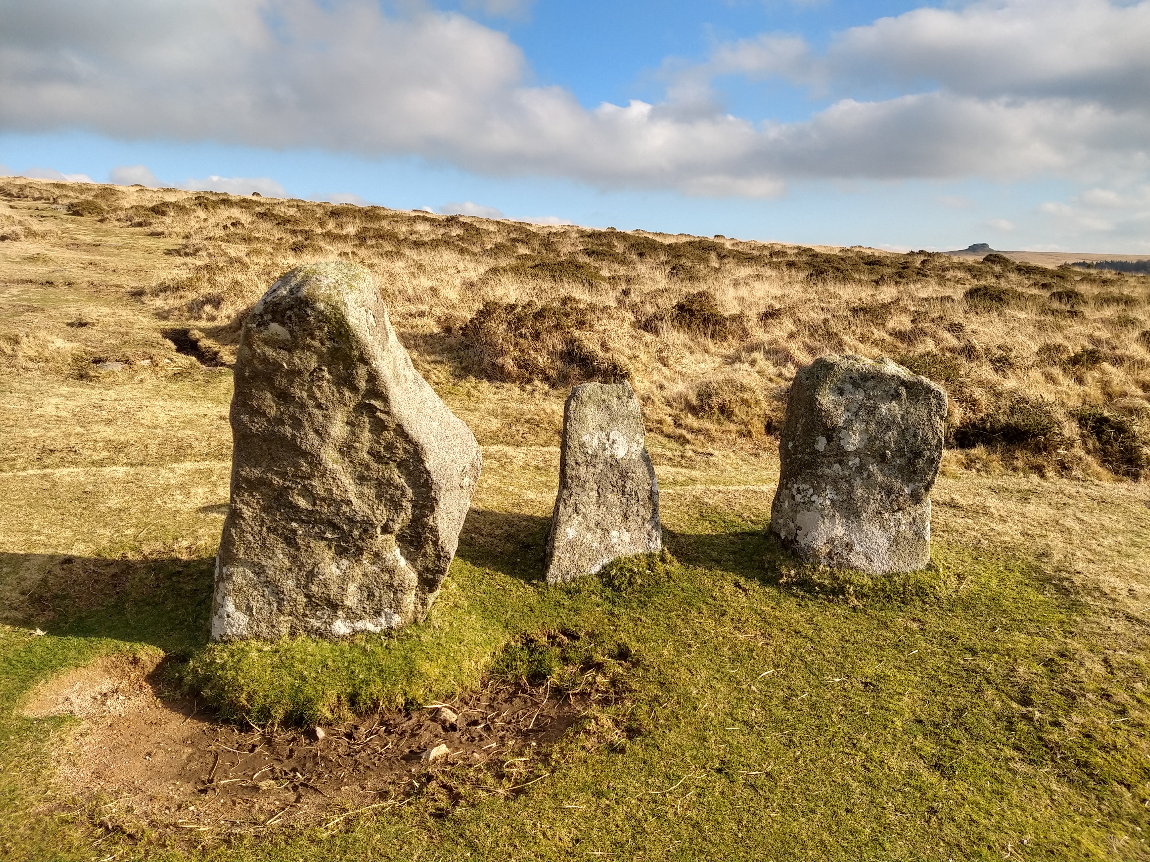
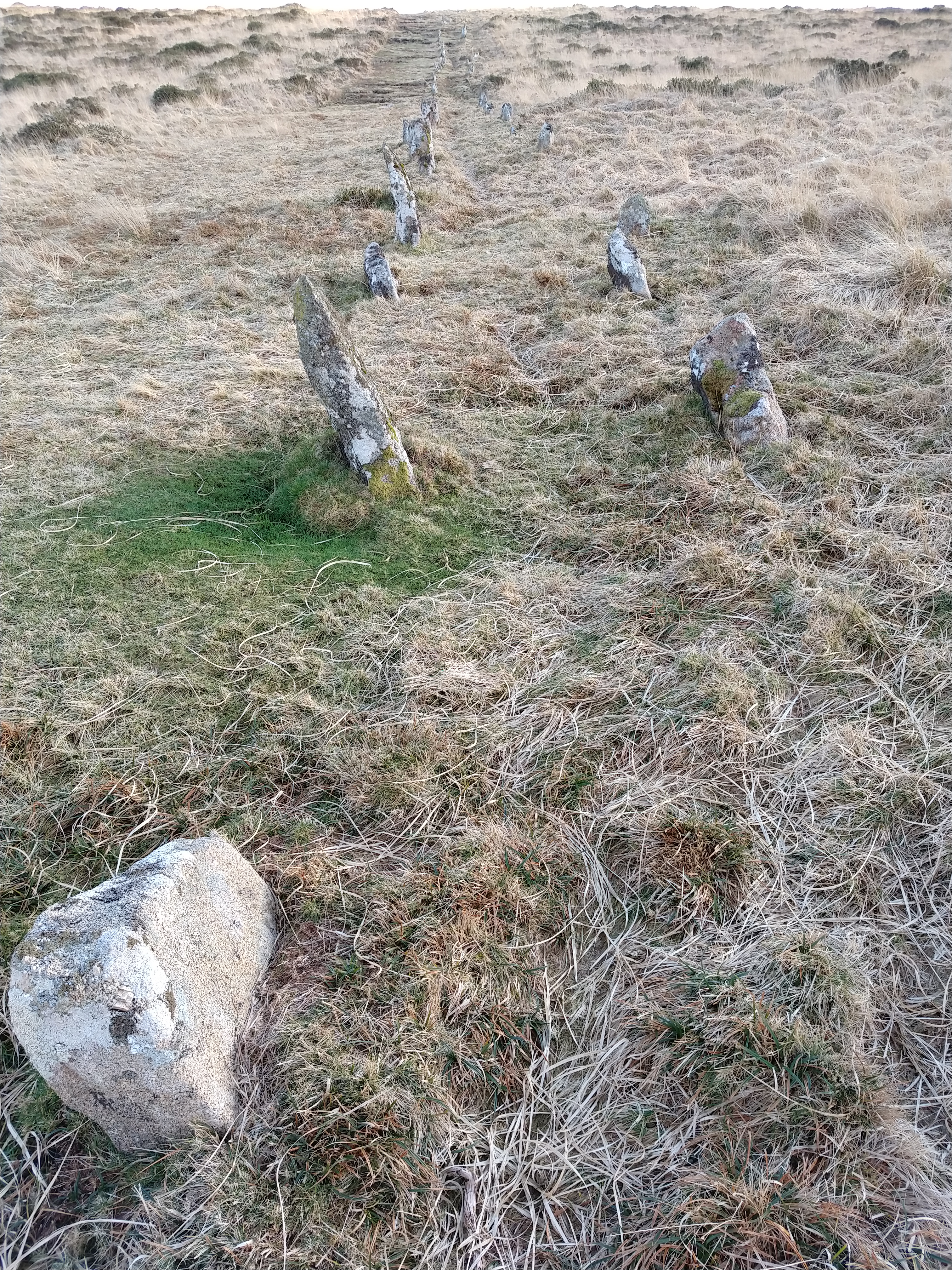
The weather was much kinder, a lovely sunny day, cold, but bright. I headed out of Belstone following the same route round the side of Cosdon that I had followed a few weeks ago. I was out to finish a hike I had planned before, to visit some of the Prehistoric artifacts in the NE of Dartmoor. It wasn’t long before I was back at the triple stone row on the flanks of Cosdon, looking magnificent in the winter sun.

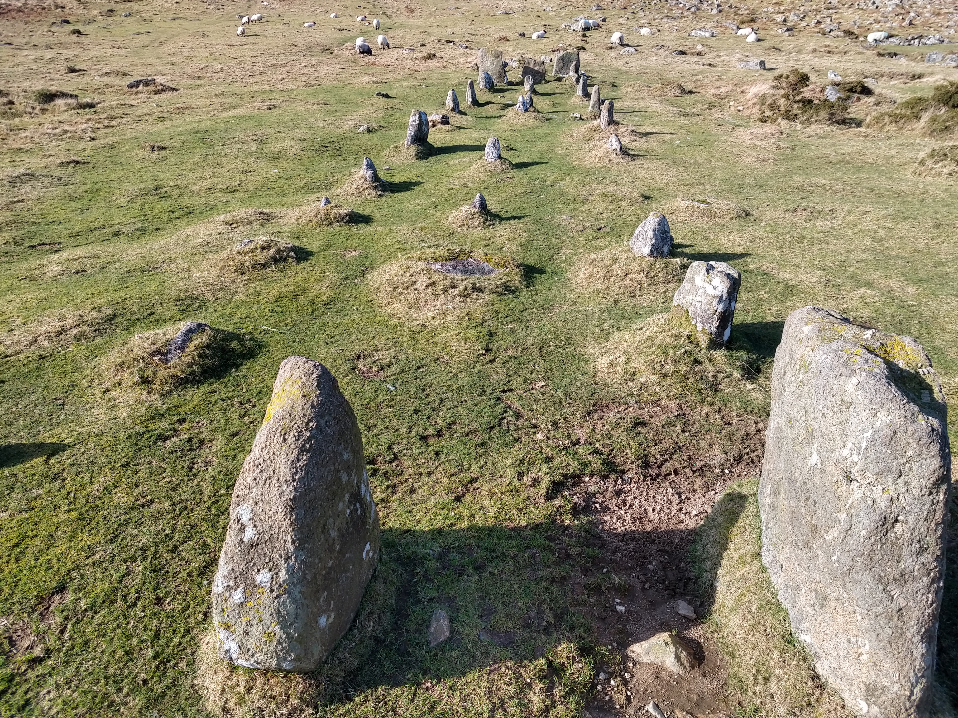
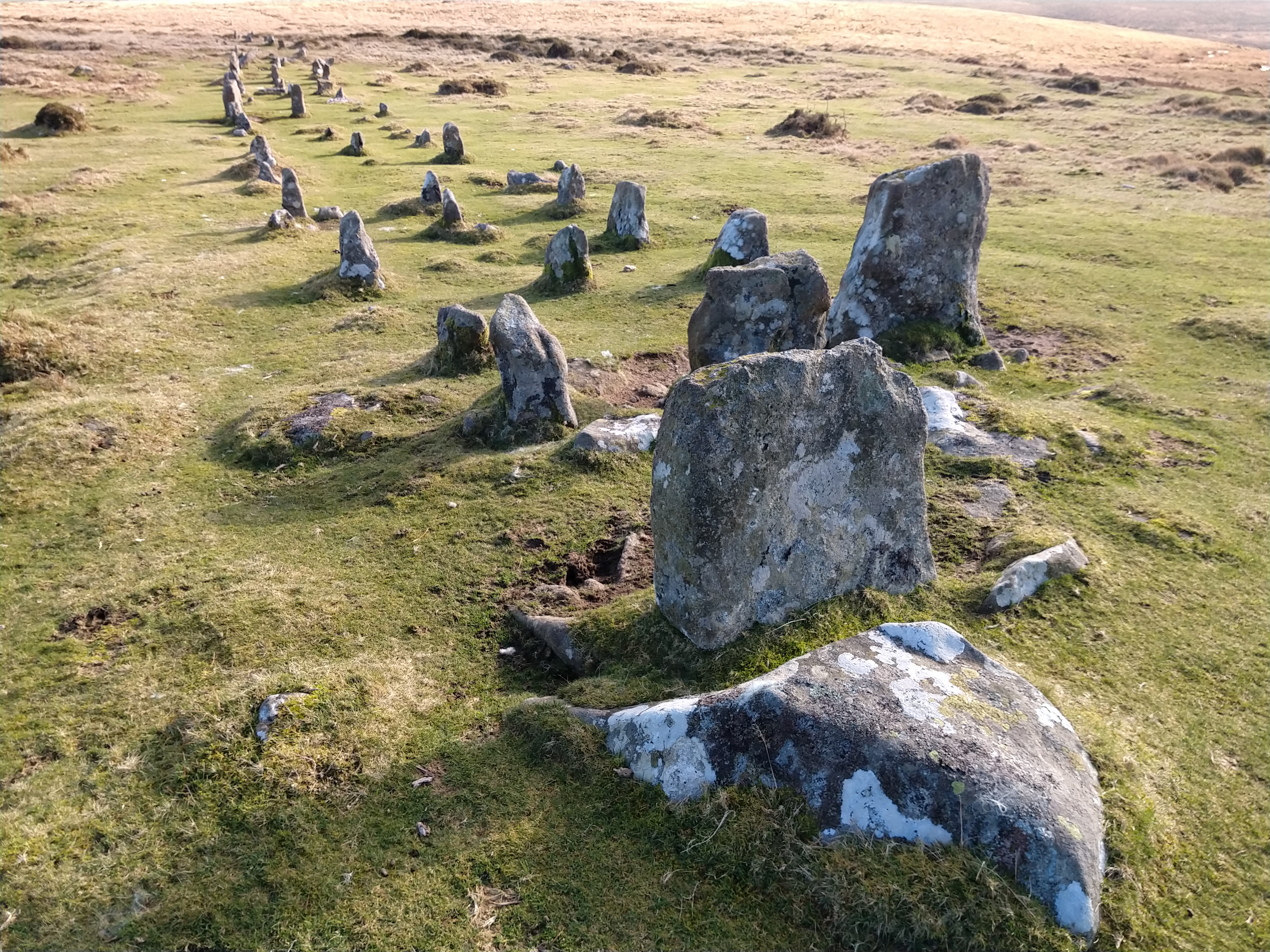
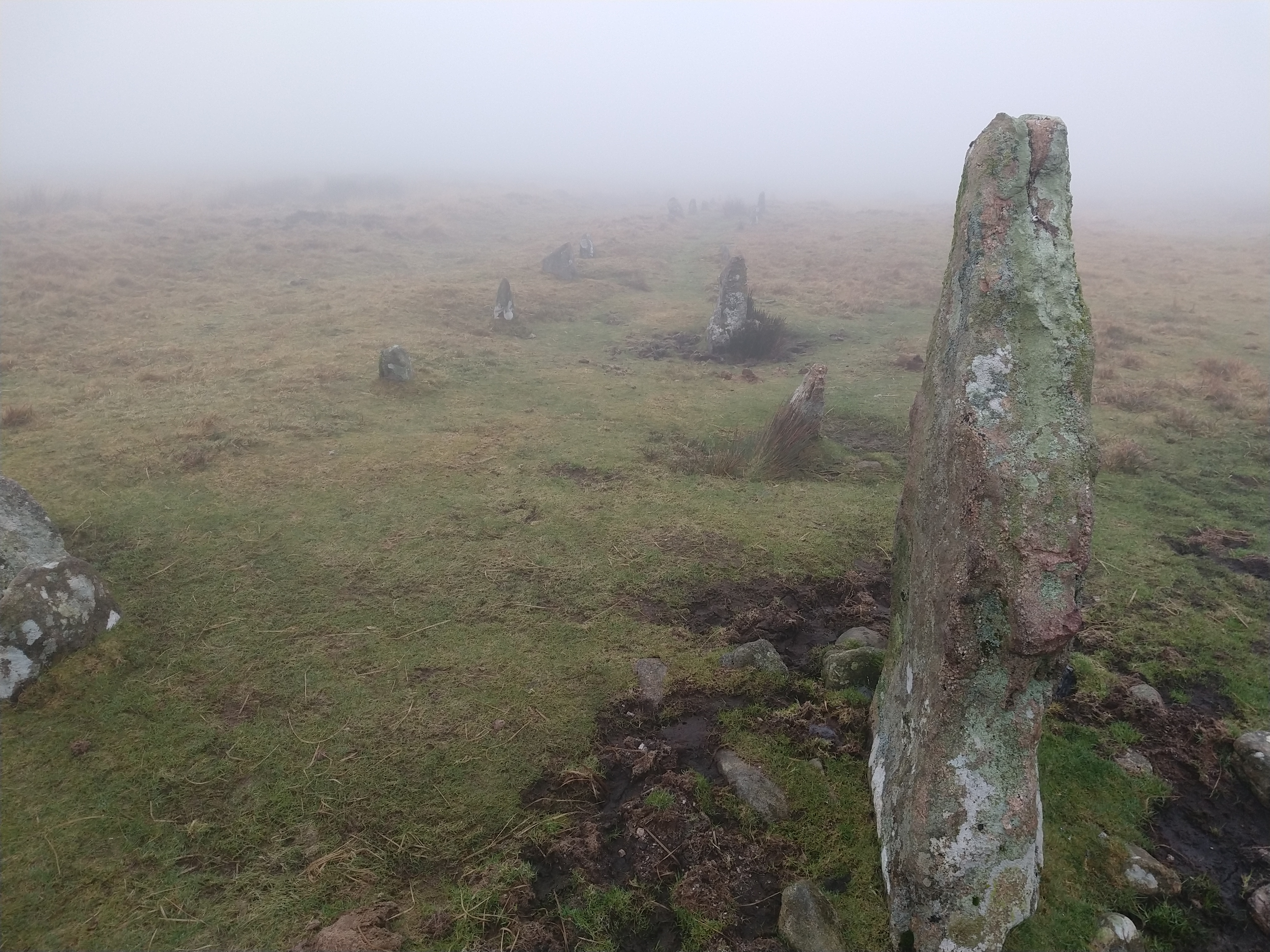
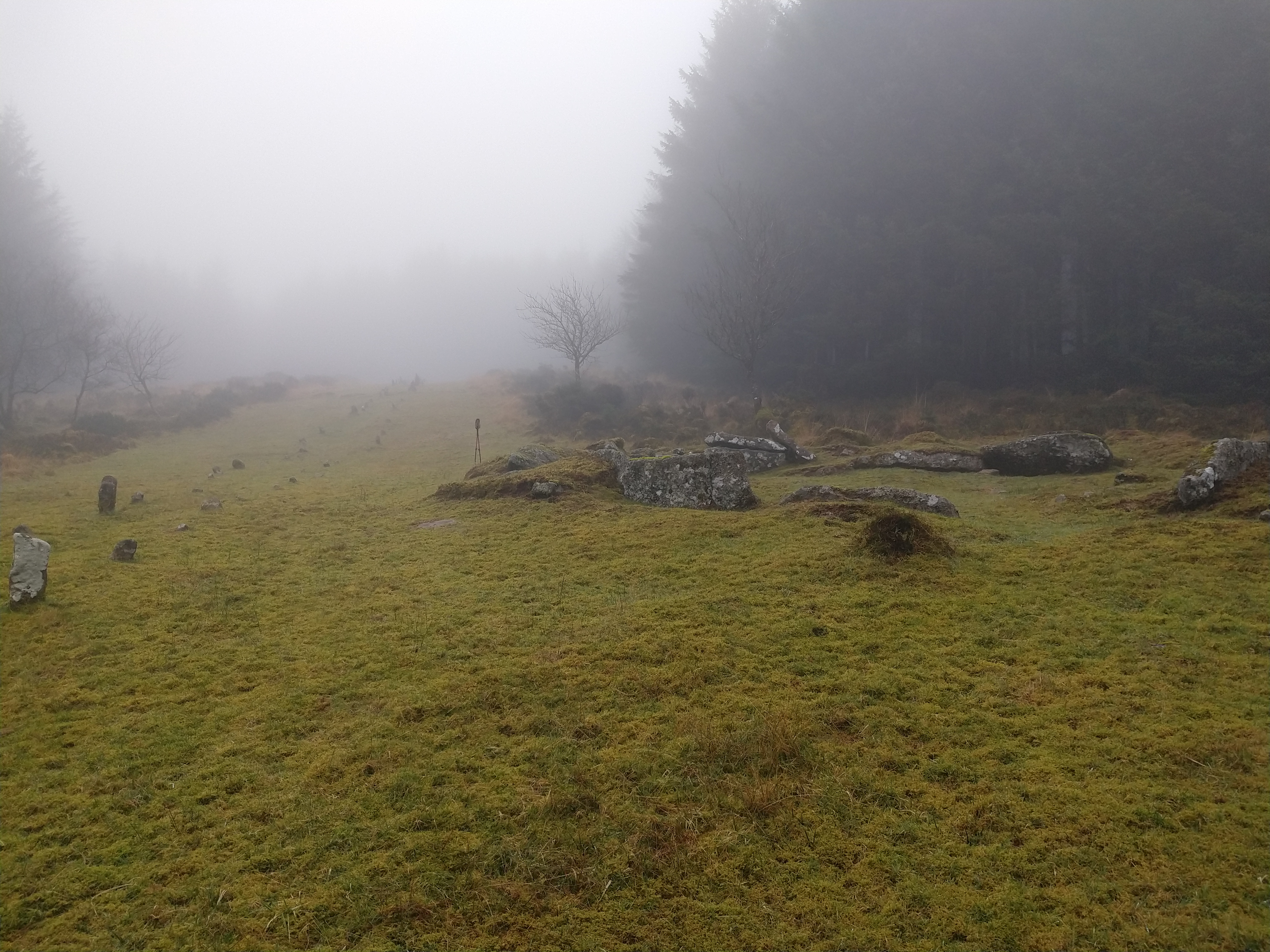
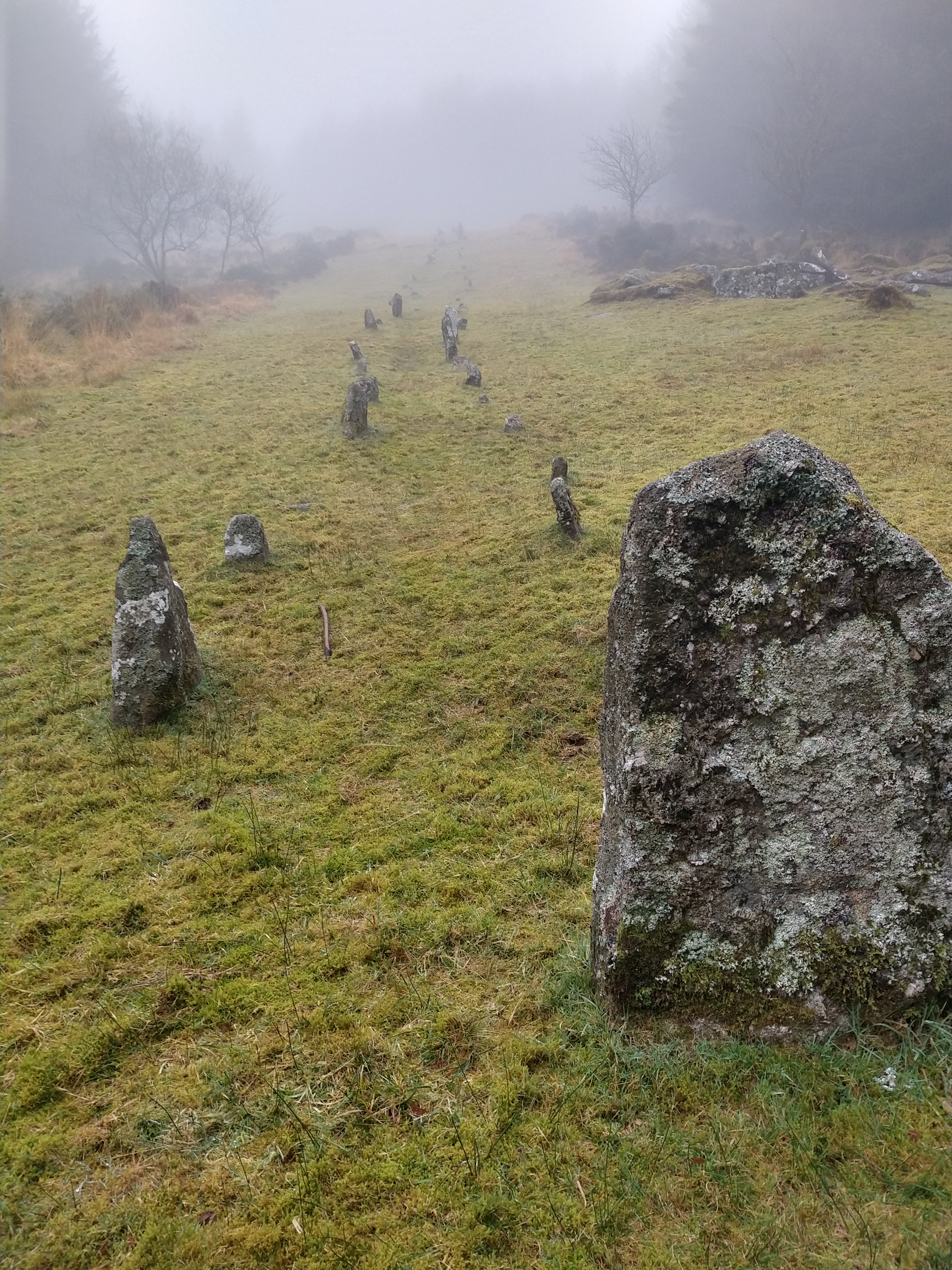
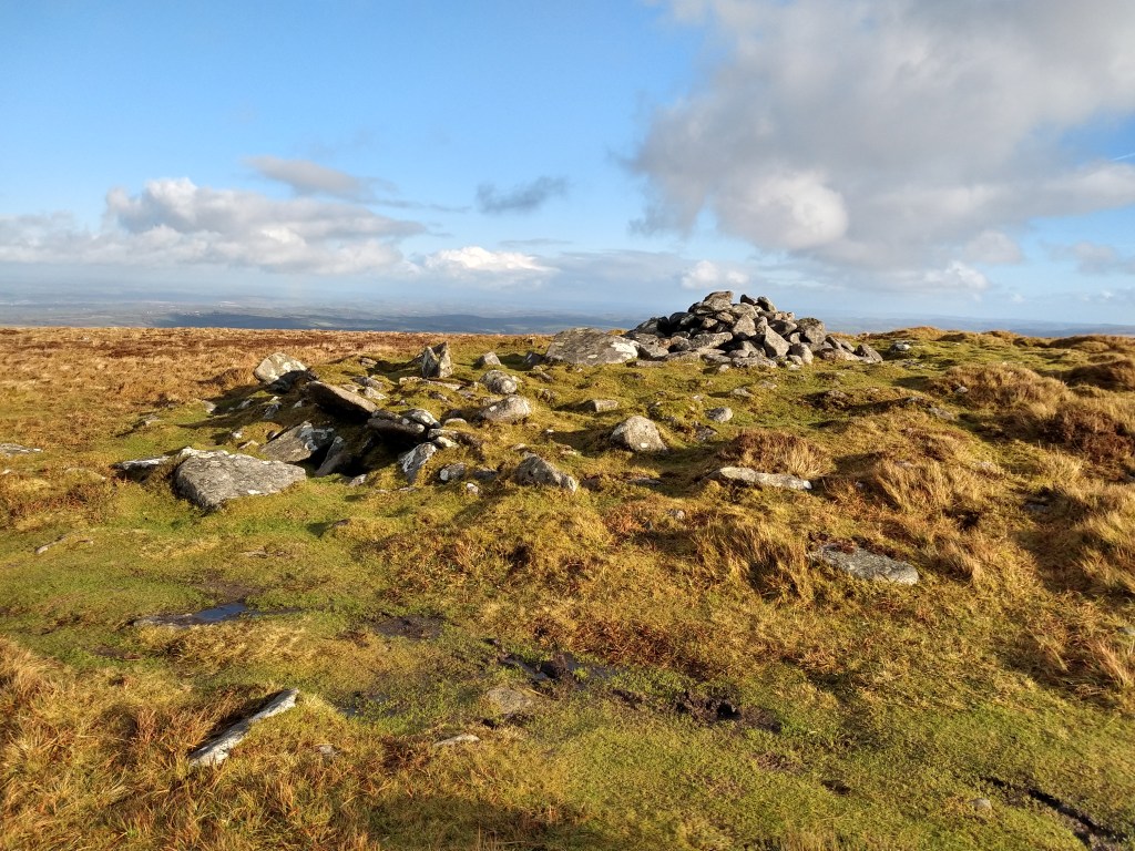
This is a triple stone row, measuring between 146m and 176.5m, depending on which stone is considered the terminal one. The row is orientated on a roughly east-west line. At the west end, there is a cairn, which is unusual in that it contains 2 cists, although as usual on Dartmoor, damage has been done to the site.

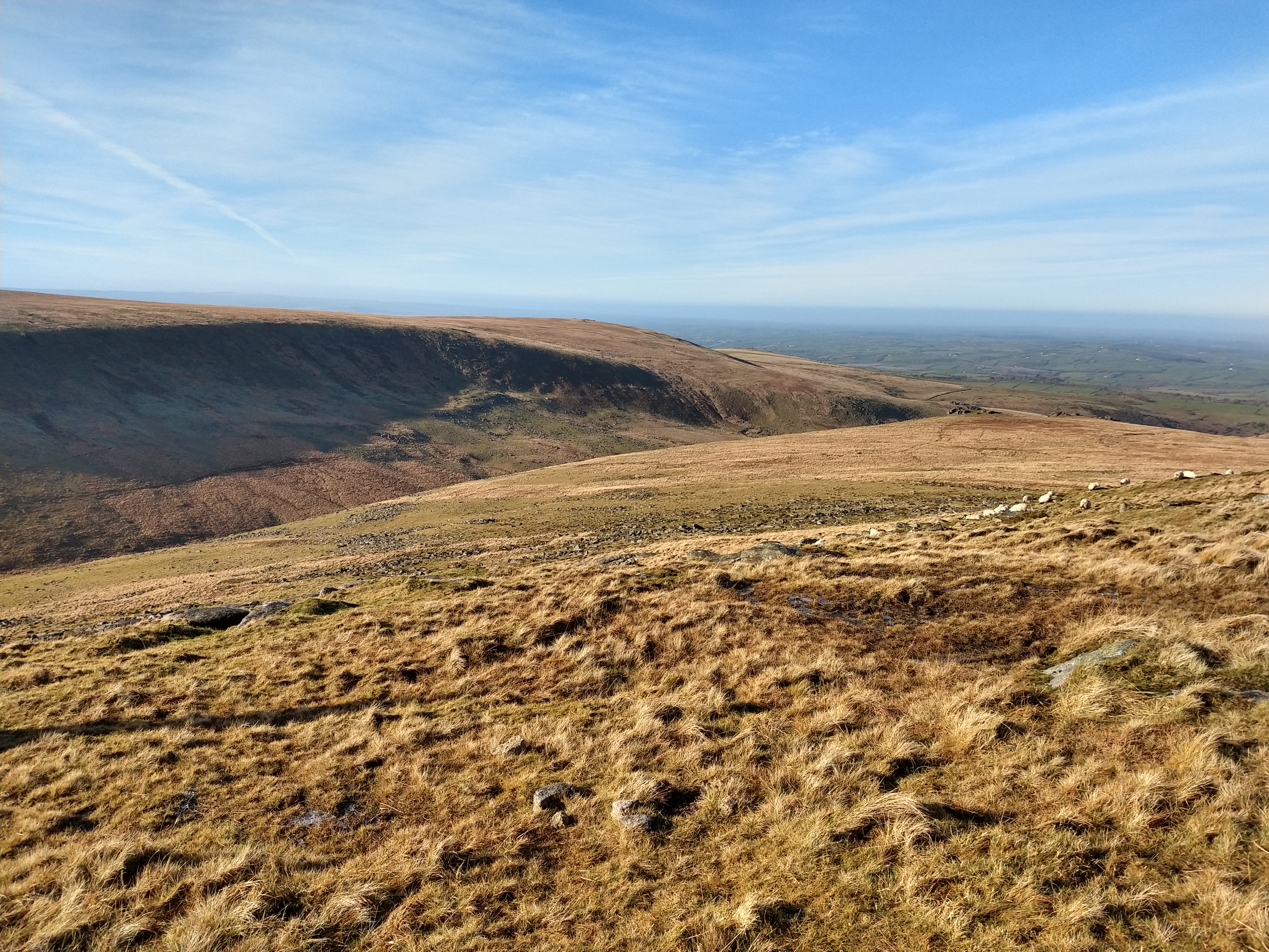
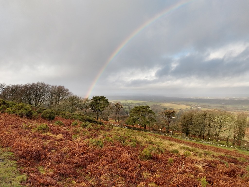
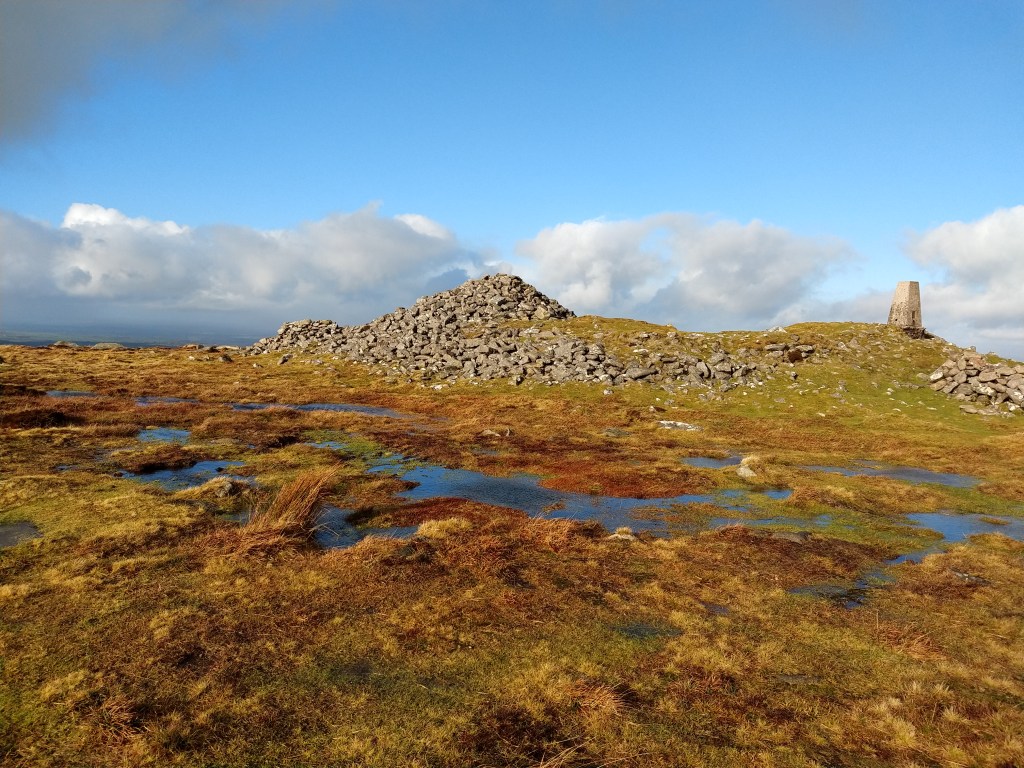
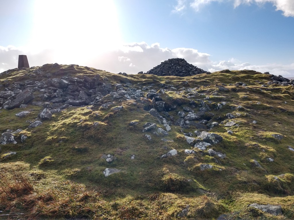
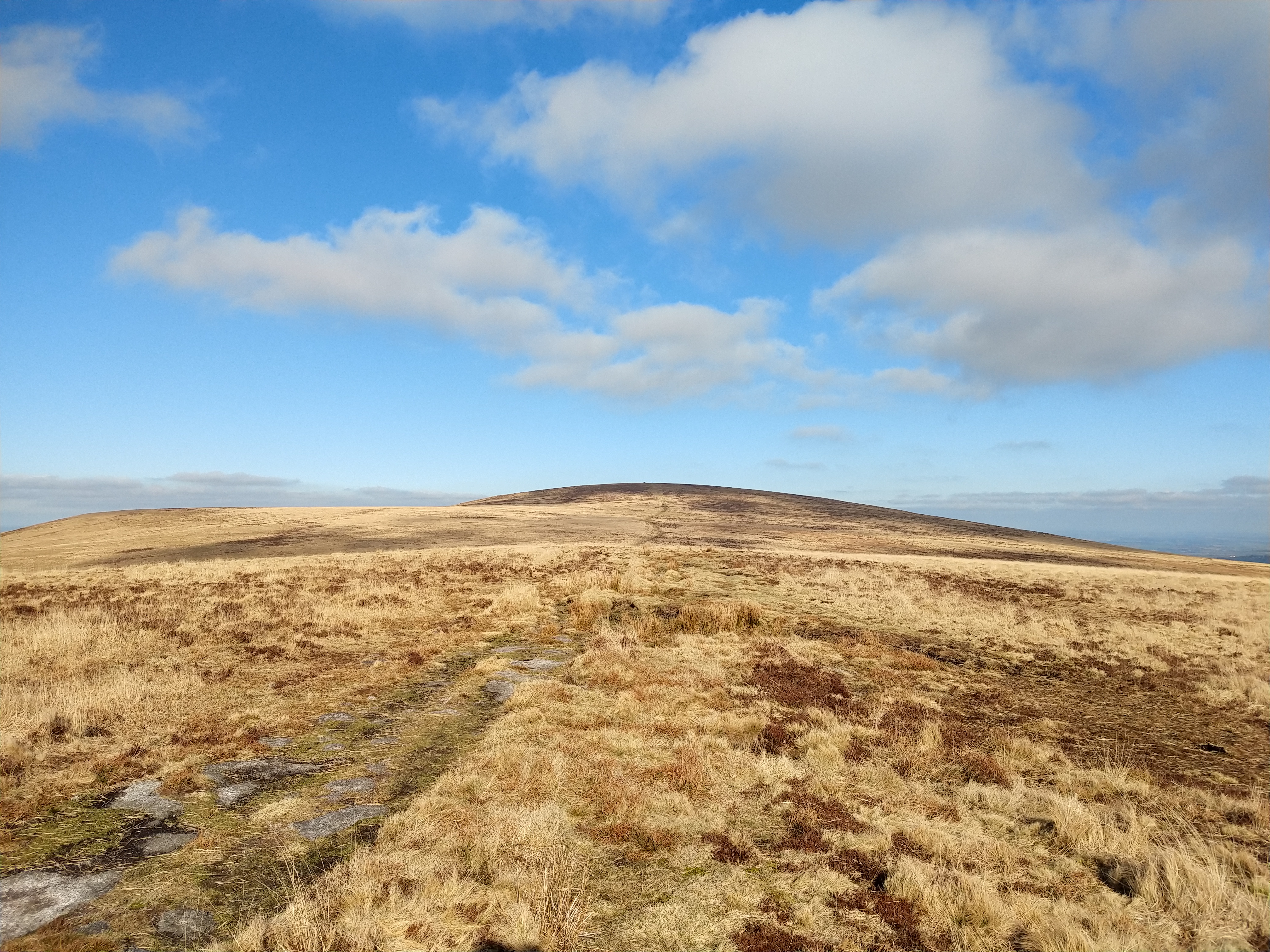
I headed straight up the path behind the stone row, that heads up to the summit of Cosdon. I had remembered on my last visit that following the path round the side got very wet underfoot, so took the drier route up and over the summit. It was actually a pleasant hike up, not too strenuous and it wasn’t long before I was once again at the summit cairn of Cosdon.

Summit cairn, Cosdon

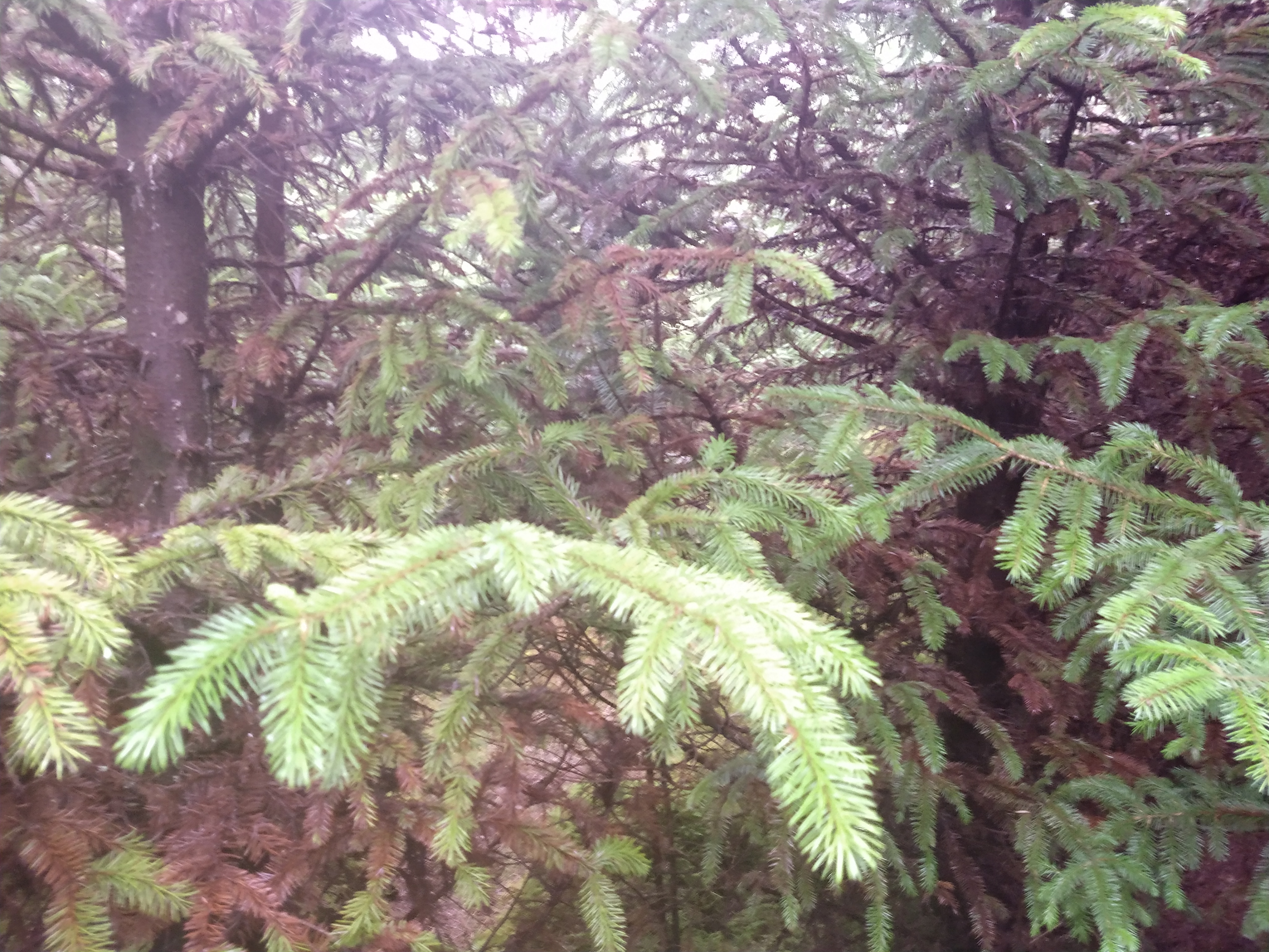
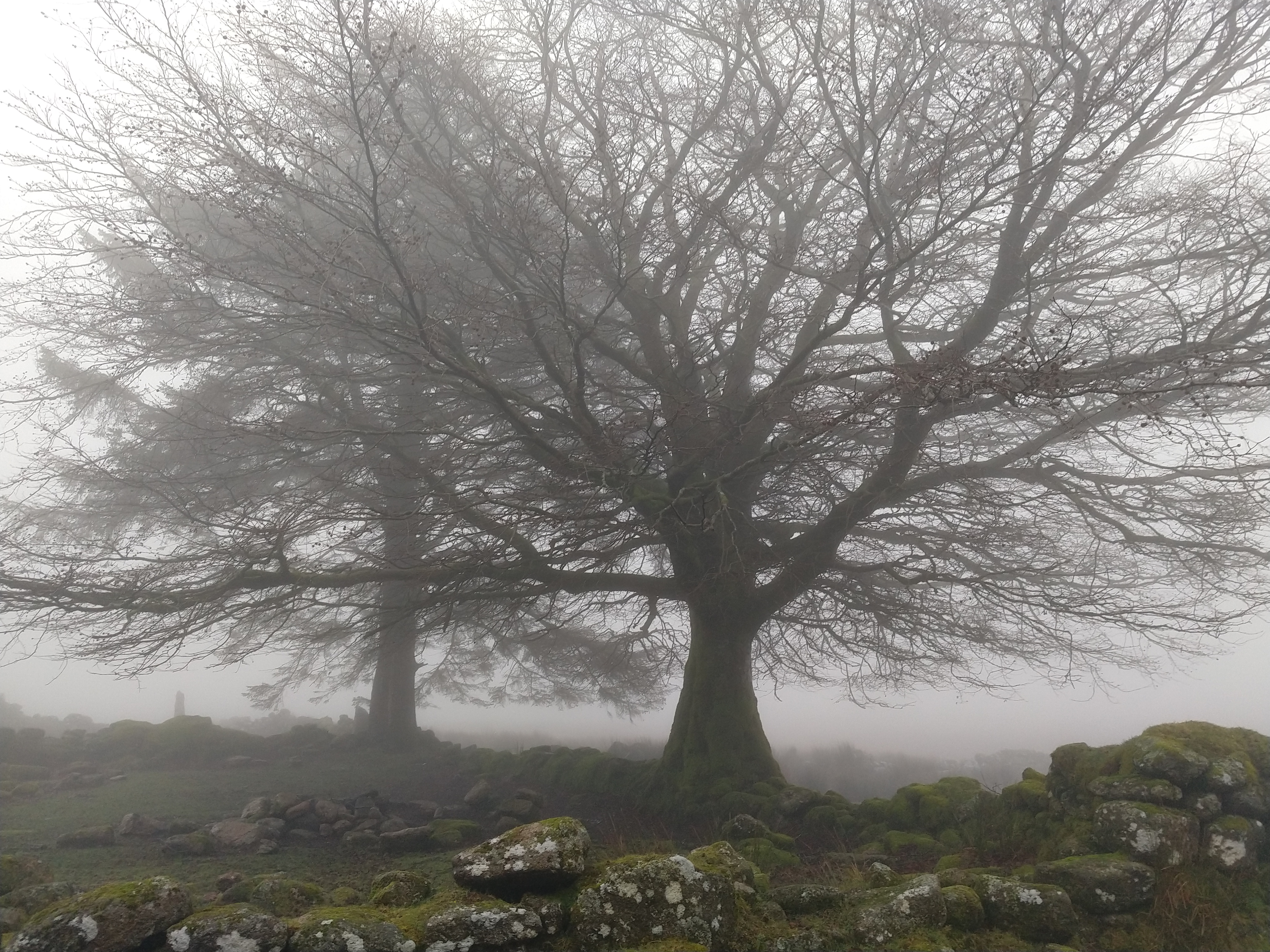
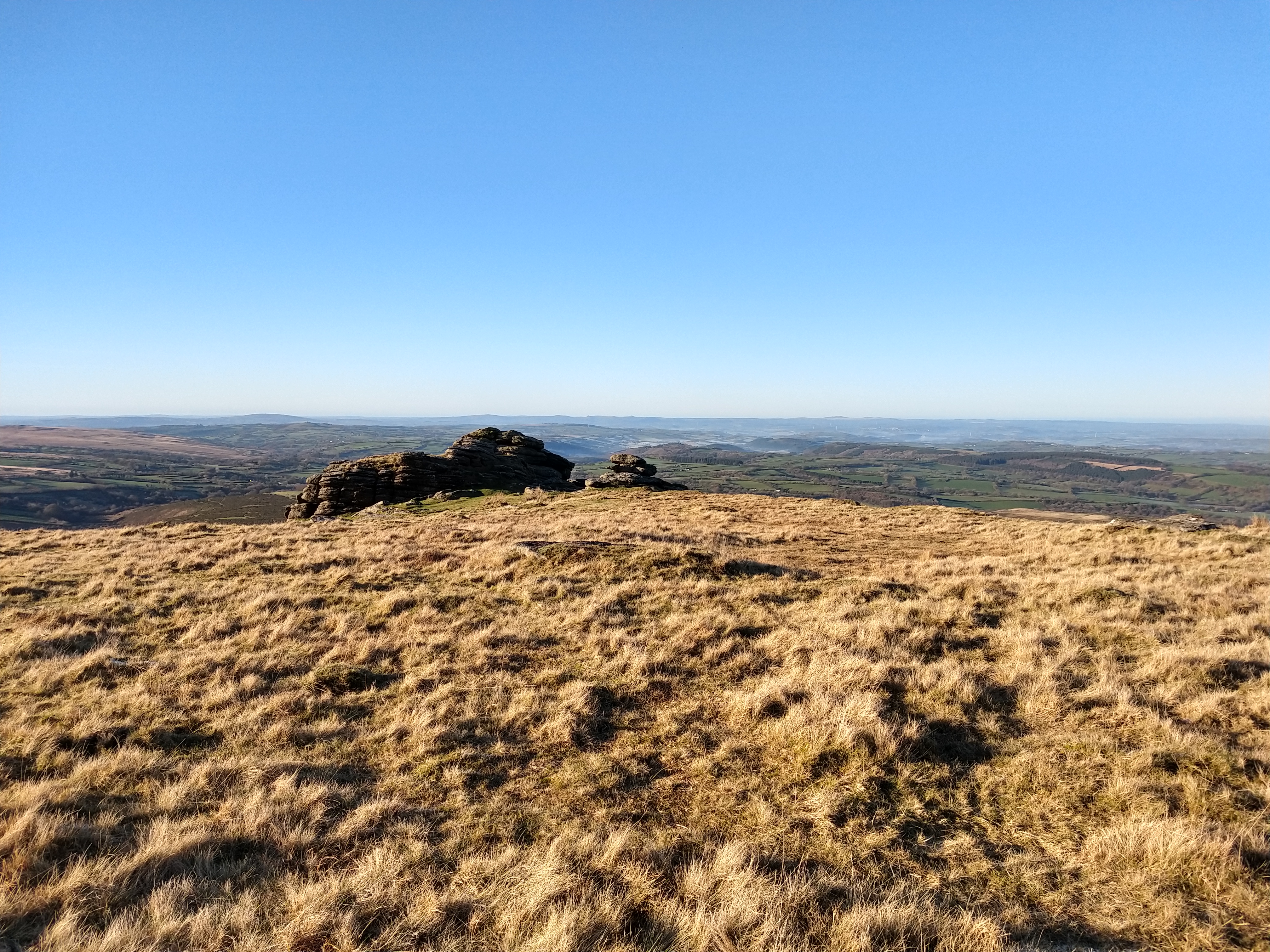
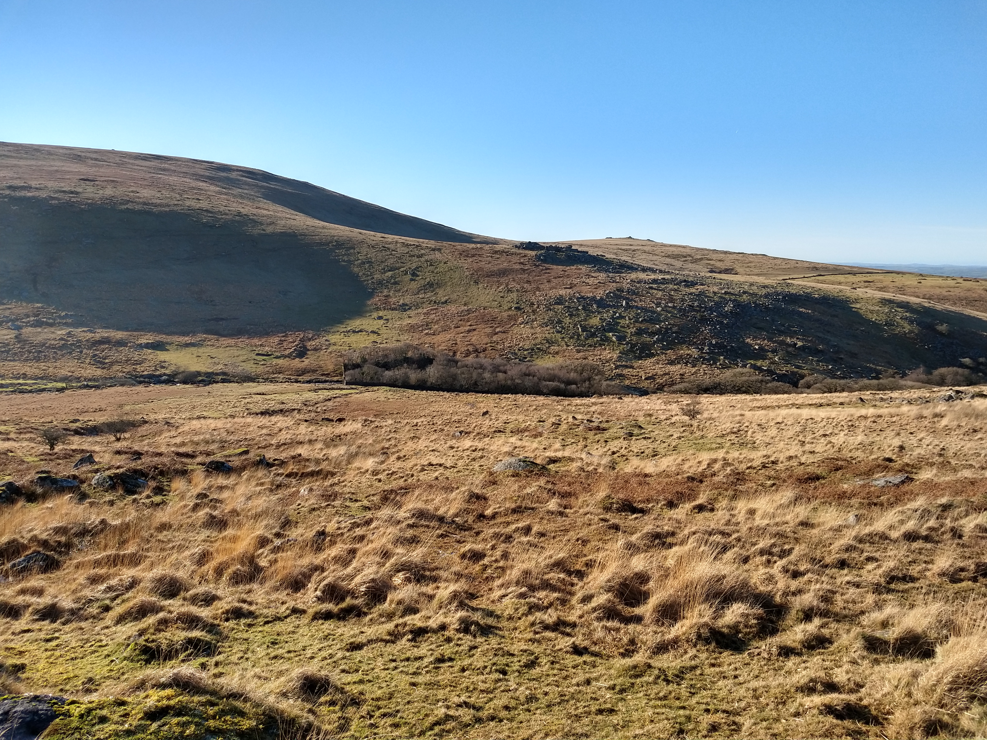
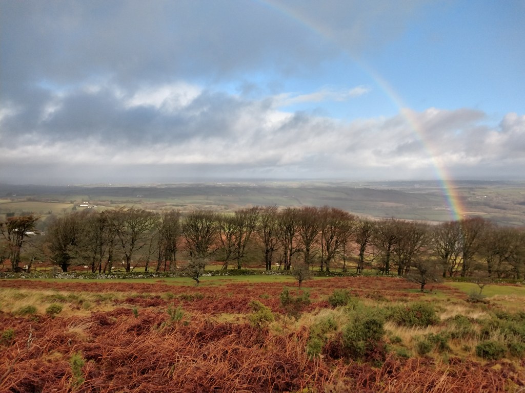
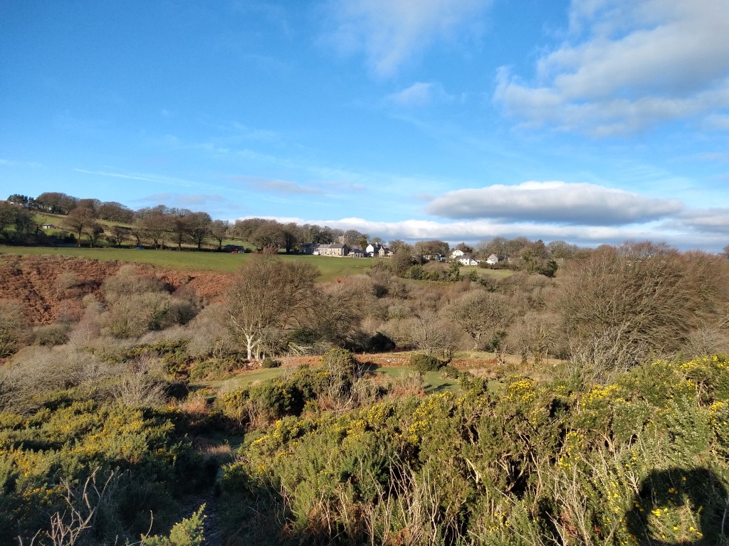
I headed down the track towards little Hound Tor, the track still sodden from the recent bad weather, but still passable with little trouble.I love this area, the Tors and hills of the northern moor are always striking, in all weathers.

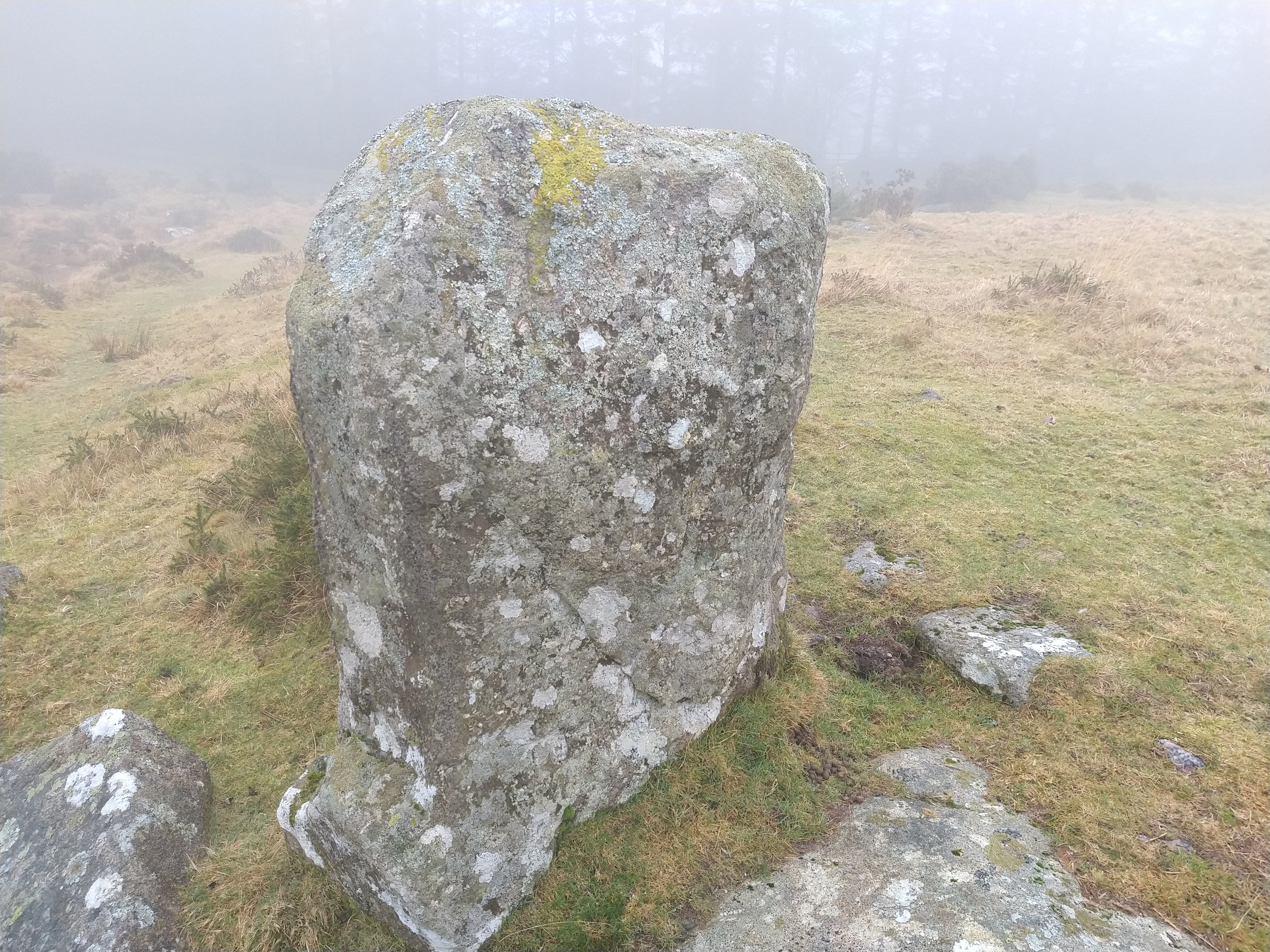
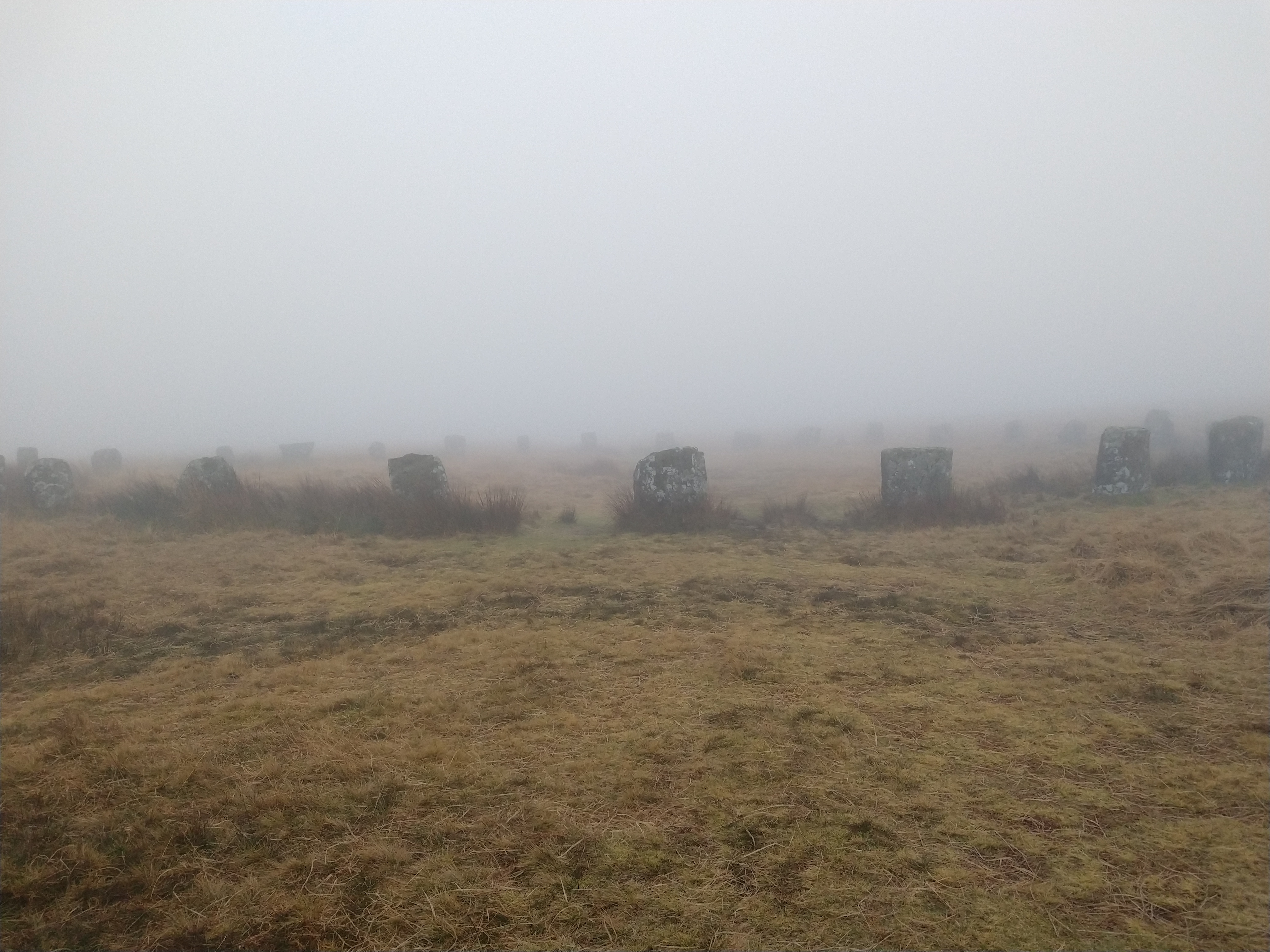
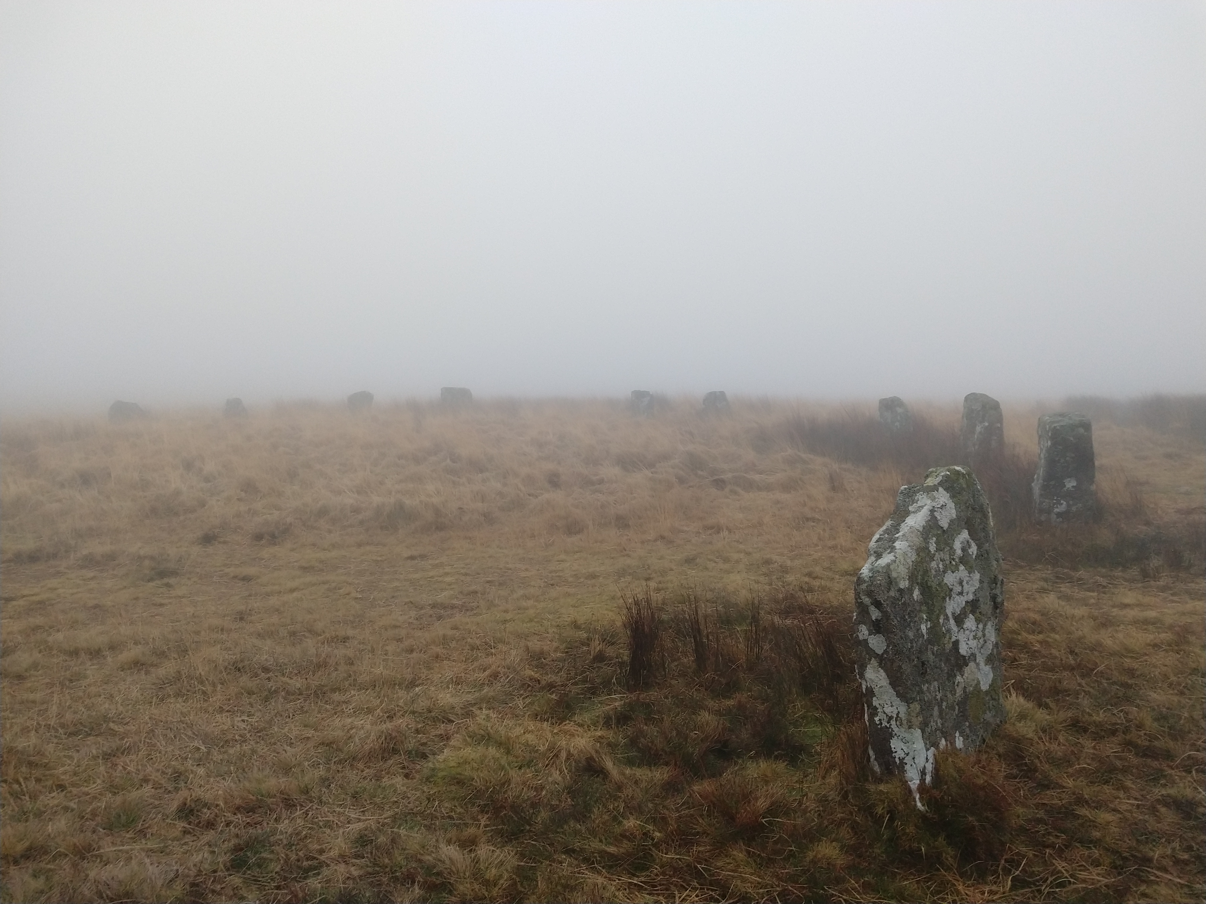
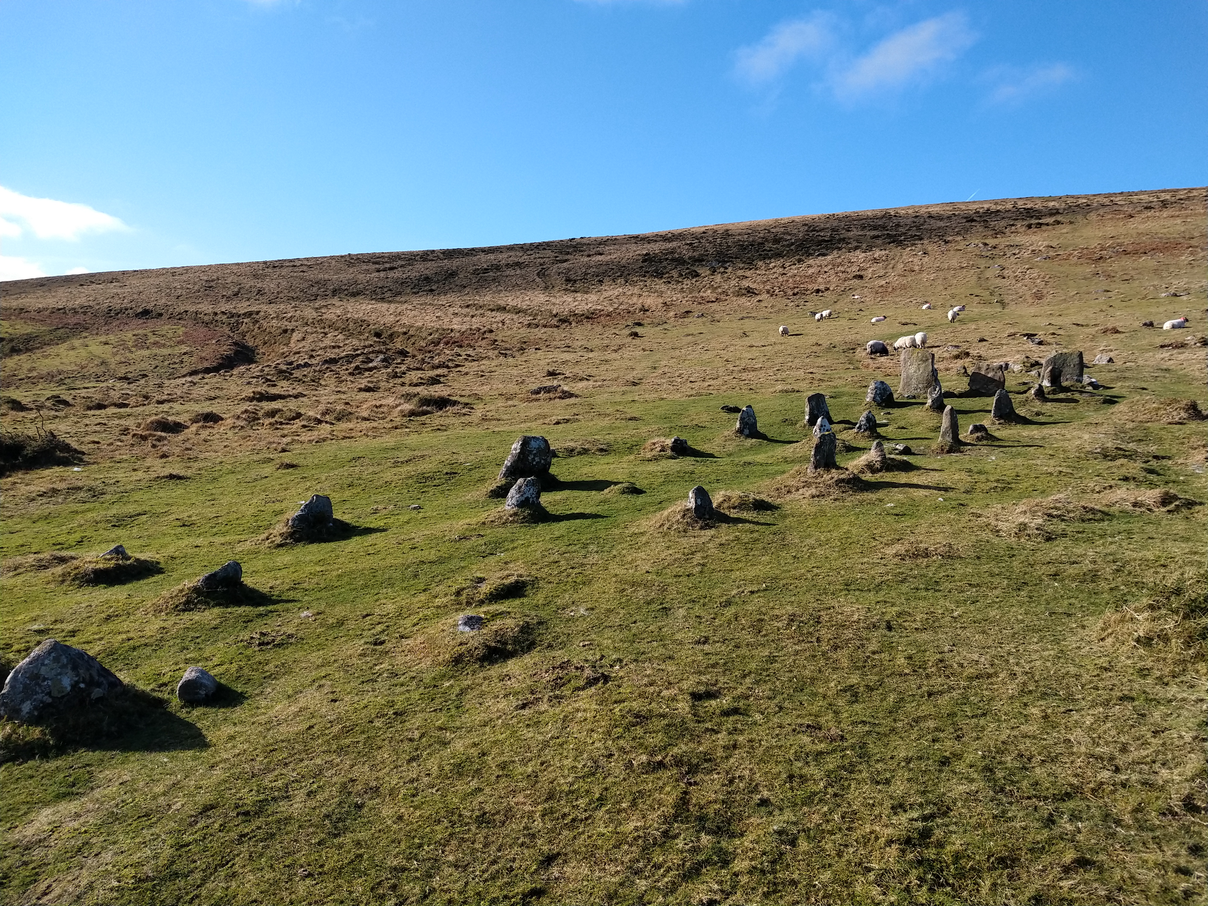
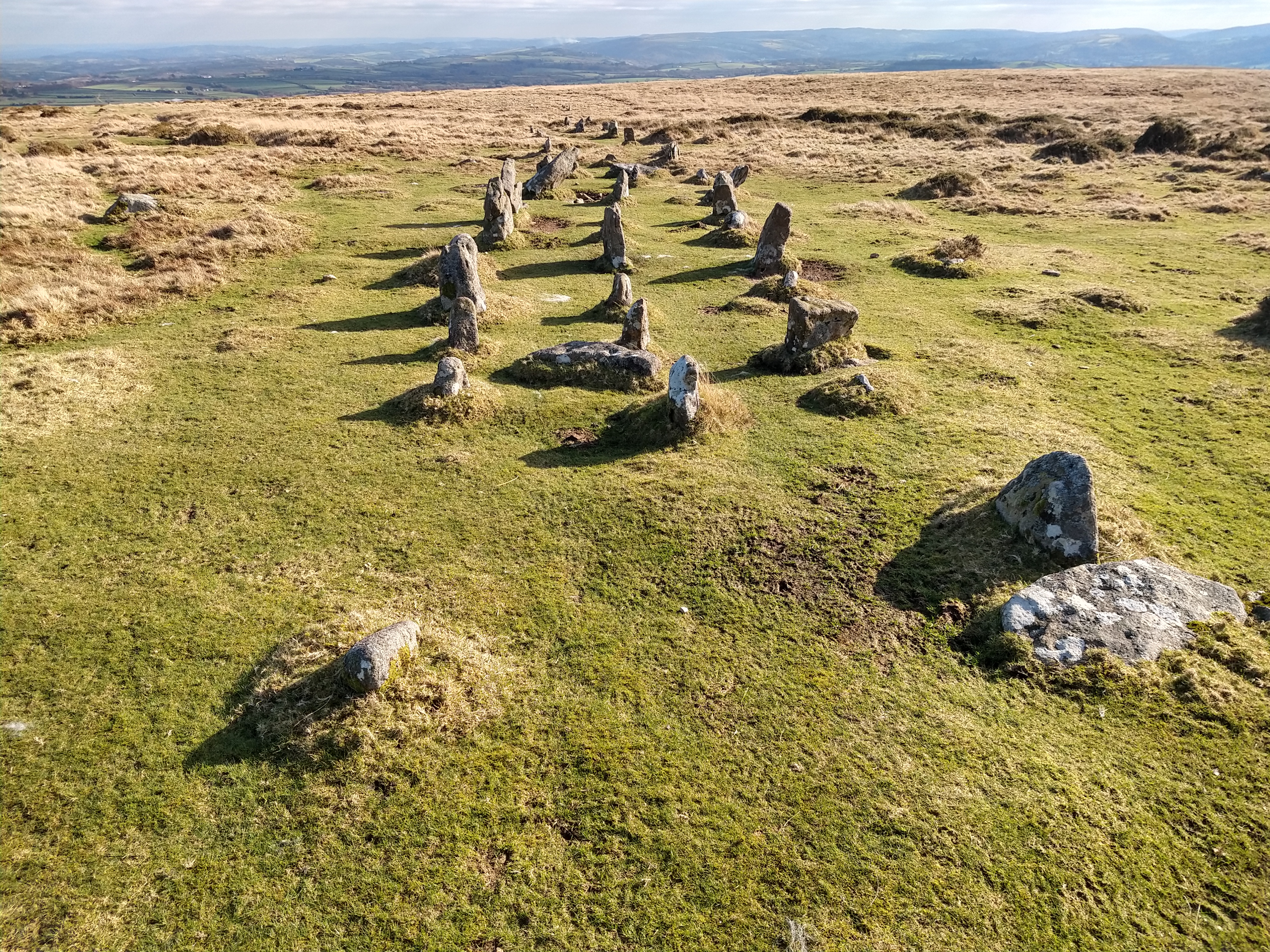
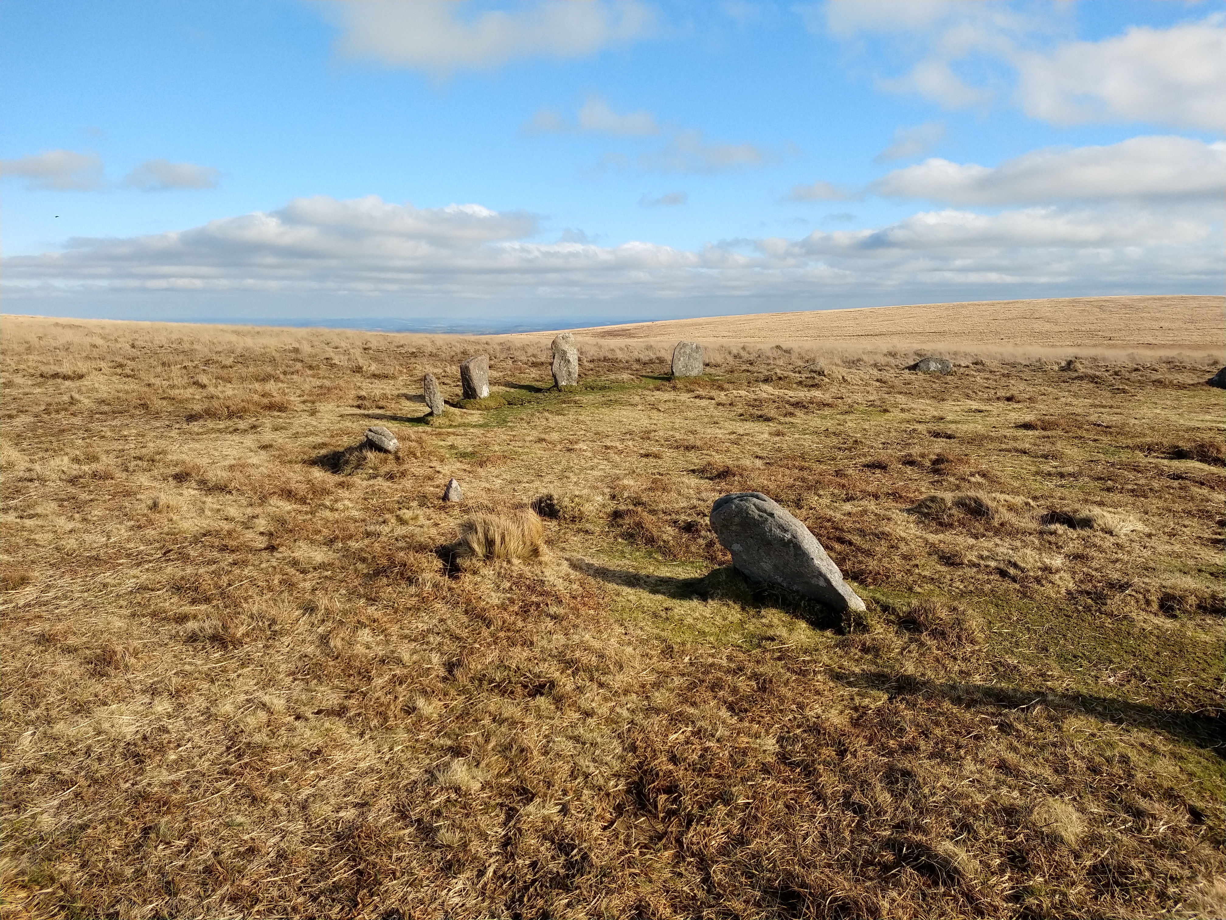
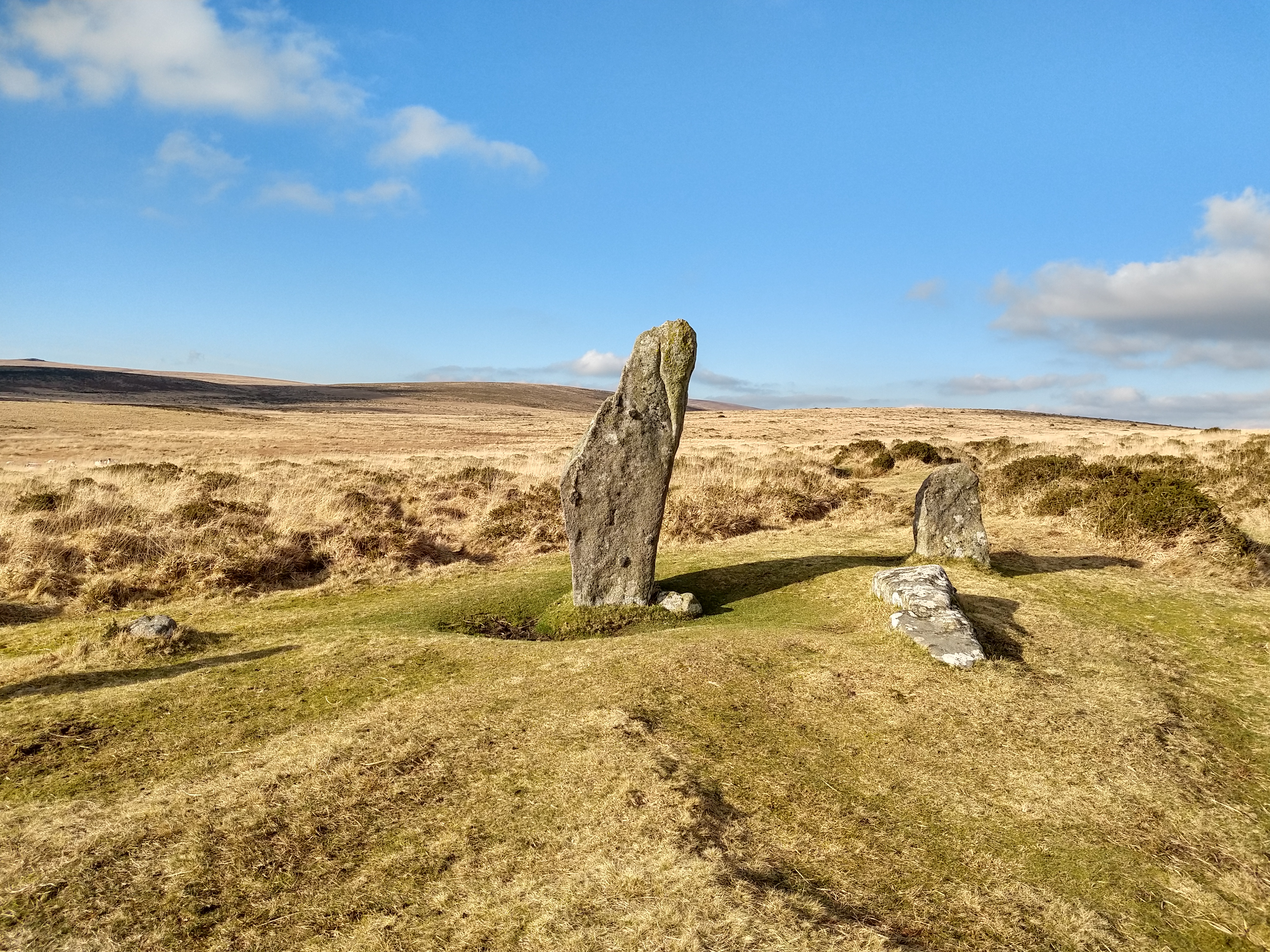
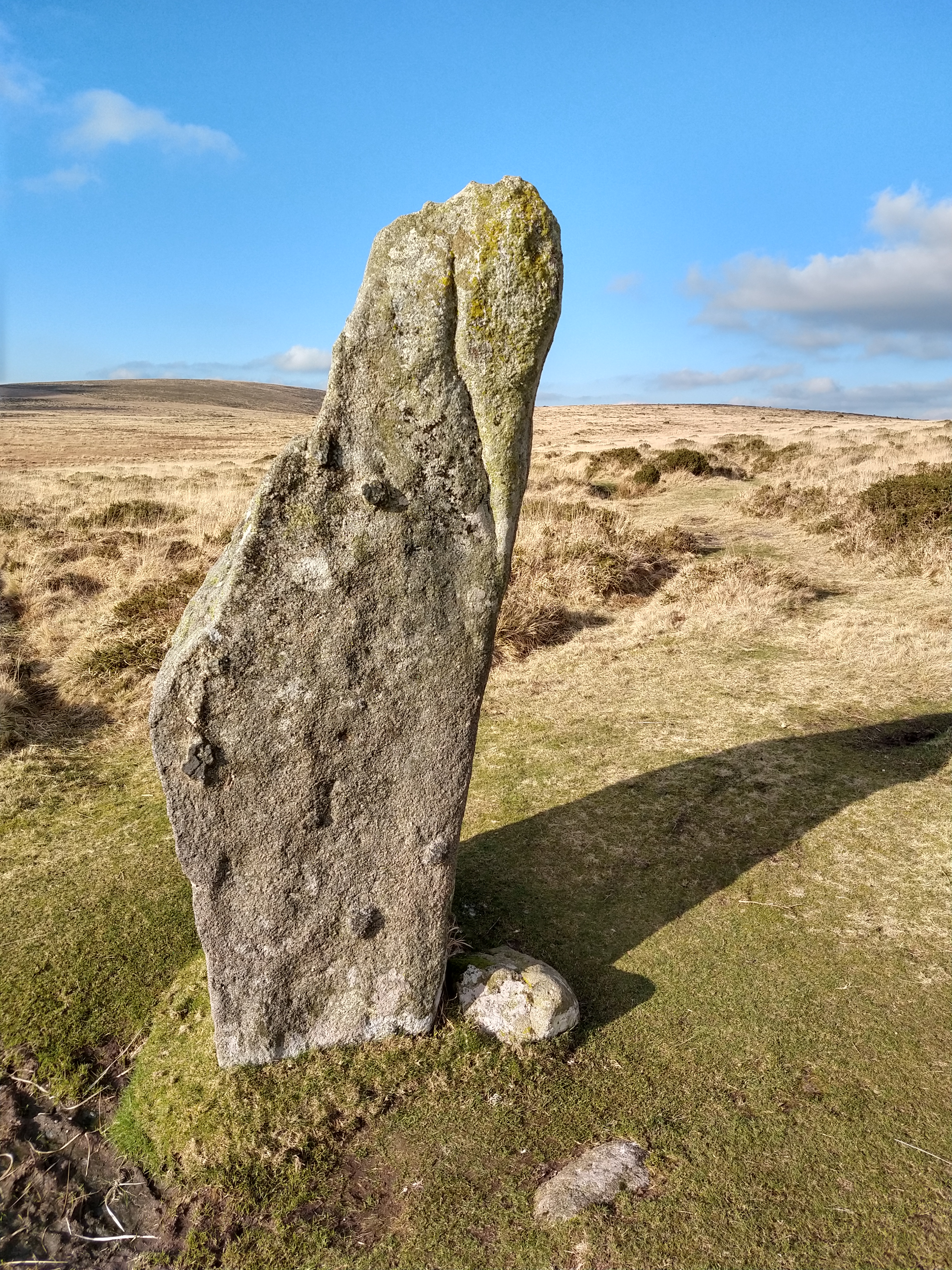
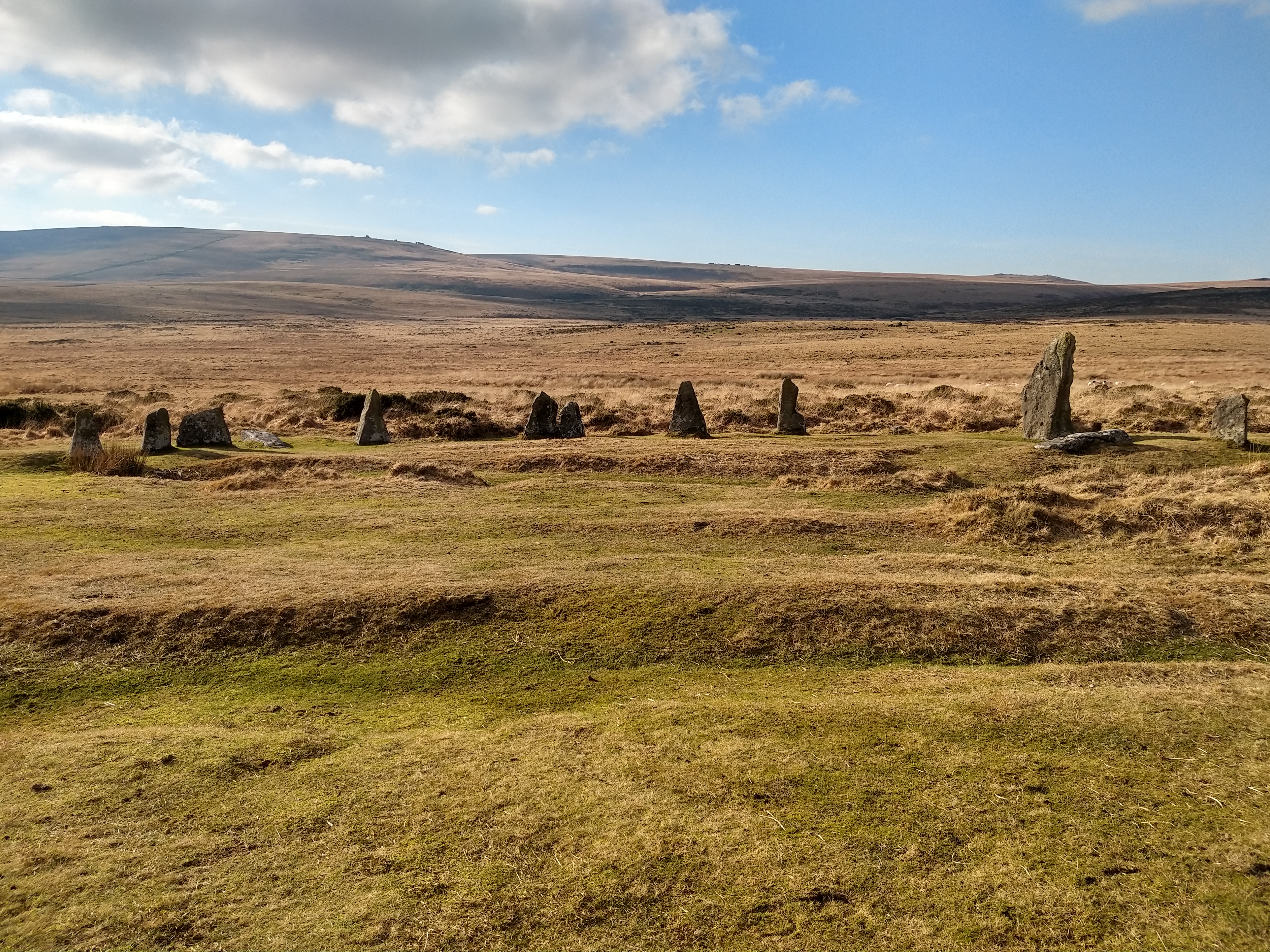
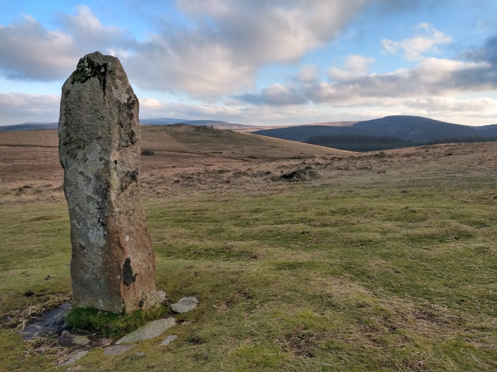
SE of Little Hound Tor is White Moor stone circle and standing stone. this stone circle is one of the more impressive ones on Dartmoor, being roughly 20m in diameter. Like most of the stone artifacts on Dartmoor it had been “restored” in the past, but is still one of my favorites, for its isolation. Slightly to the south is White Moor Stone, now marked with boundary signs; there is debate whether this stone was once part of the circle, a stone in itself, or possibly a marker for a cairn that once existed here. Either way, an impressive standing stone, at 1.6m high.

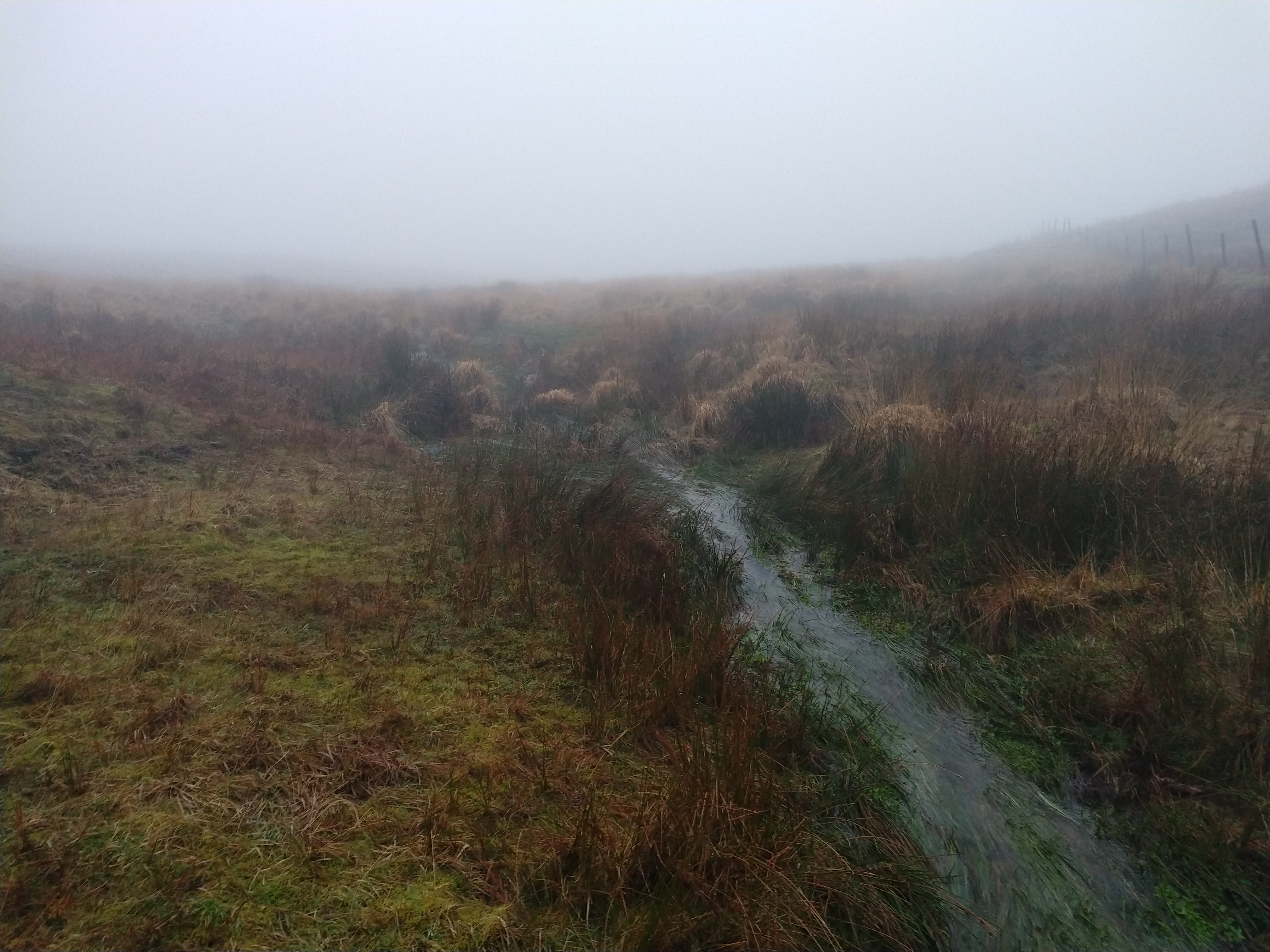
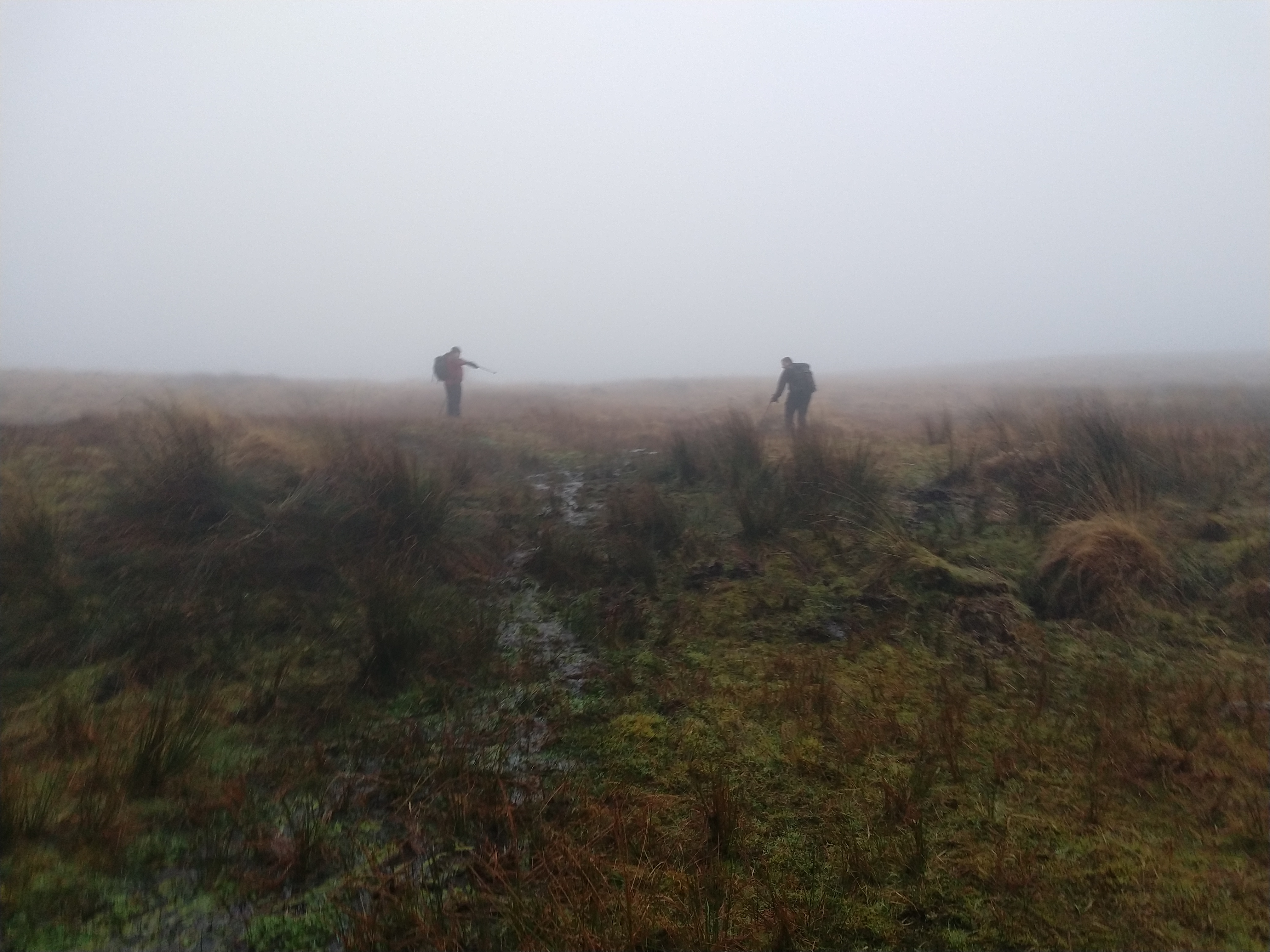
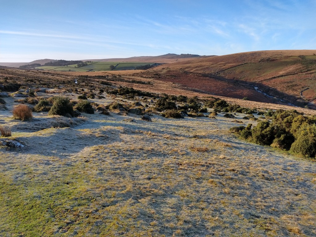
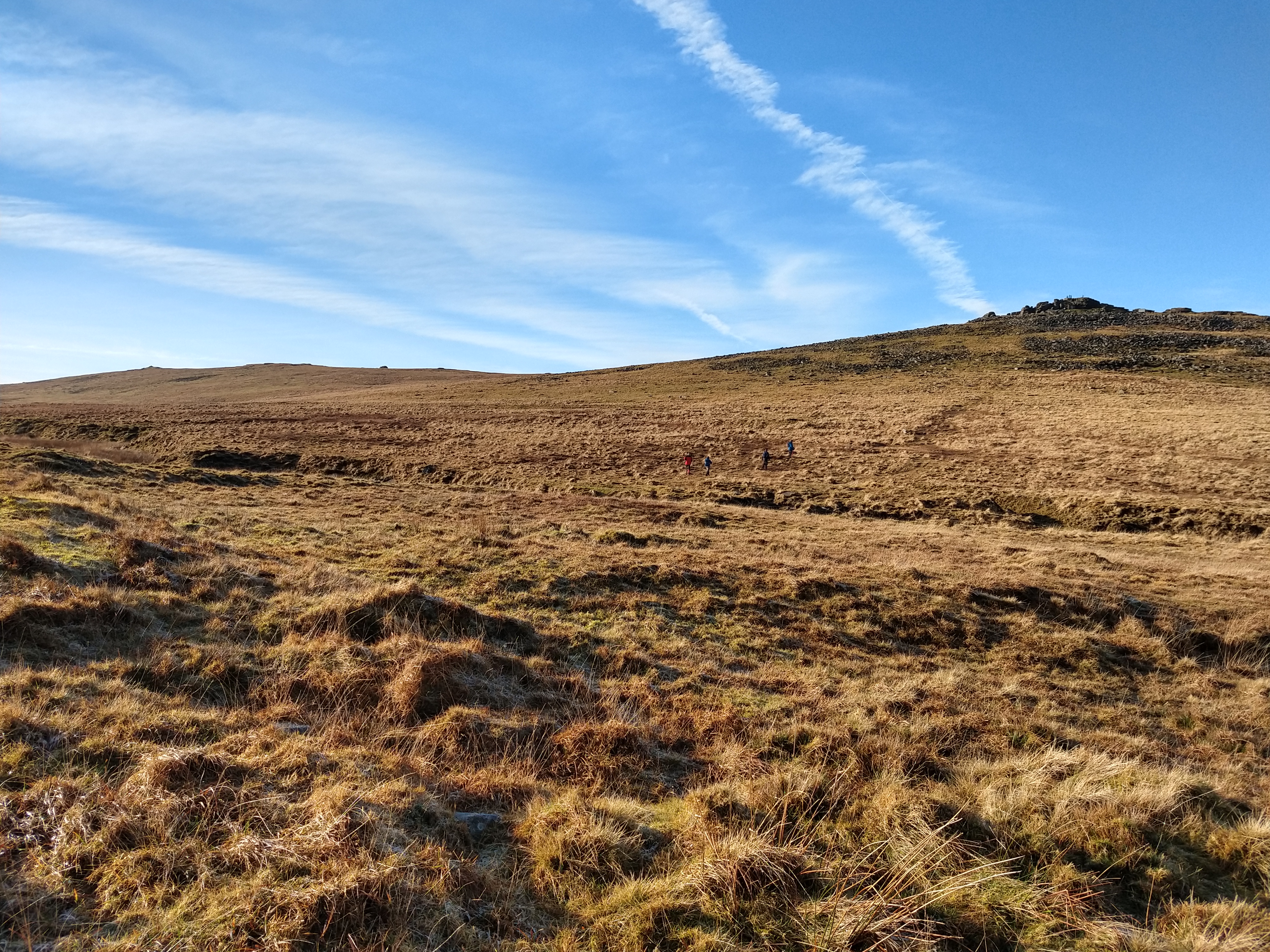
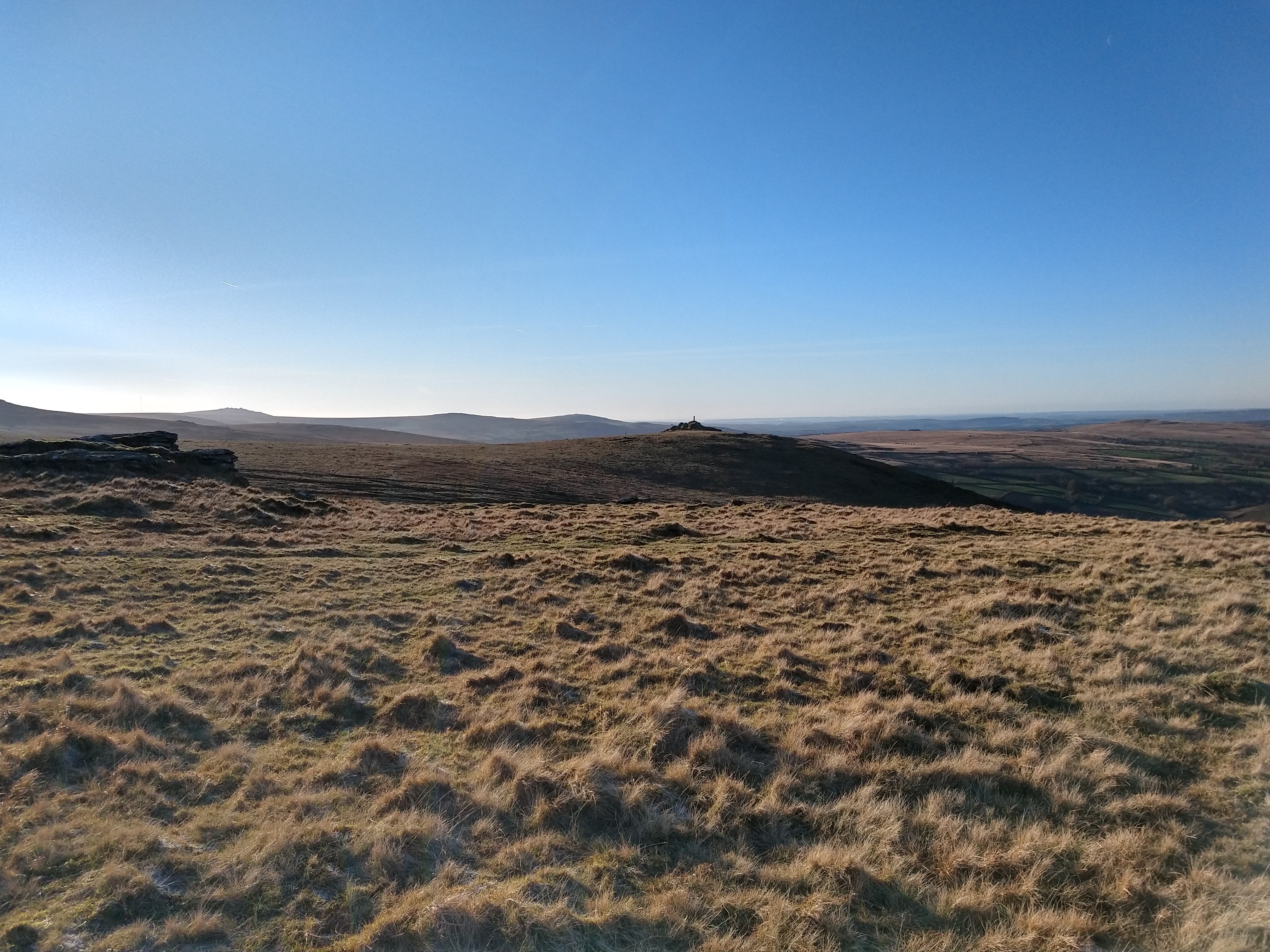
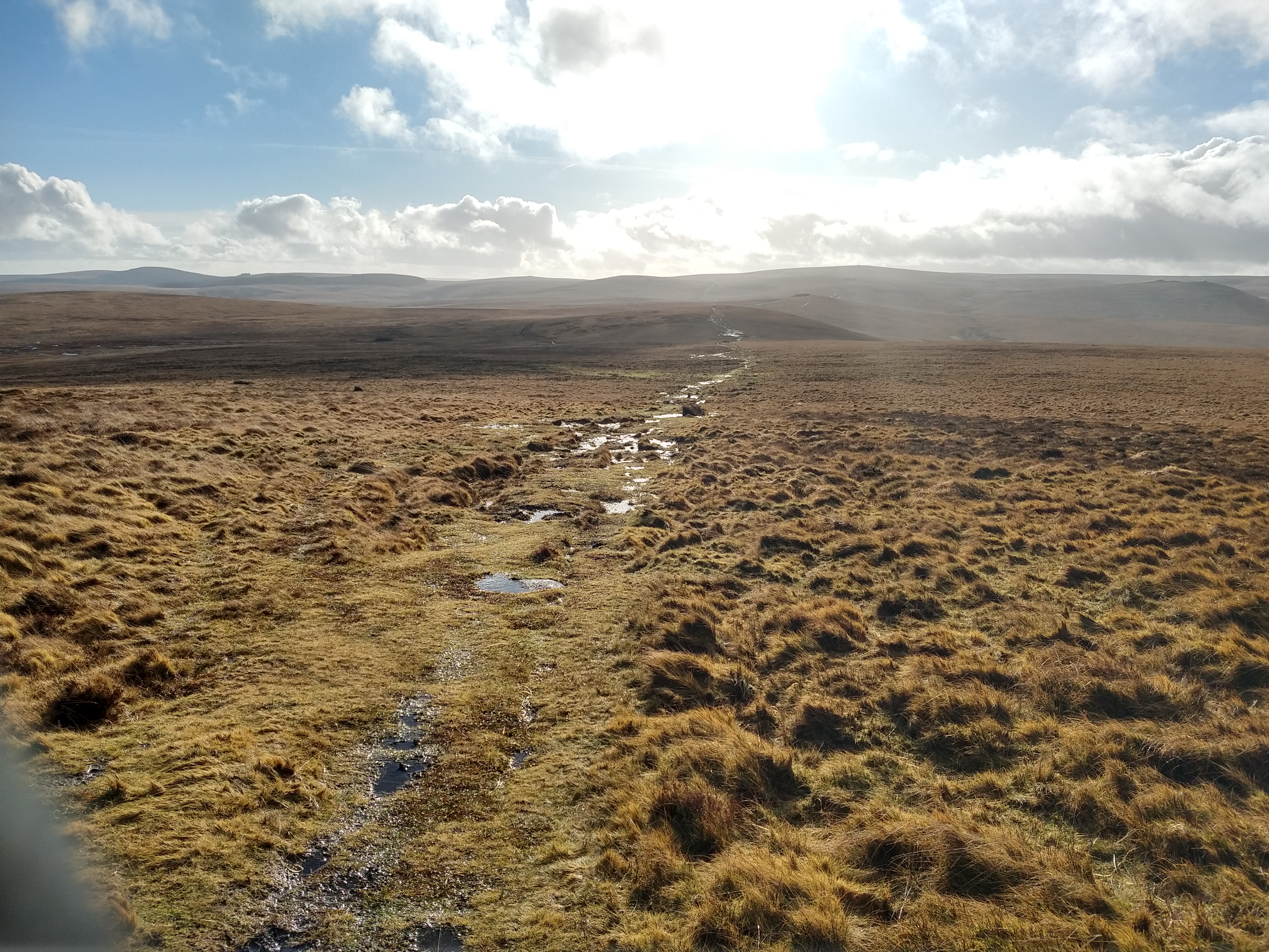
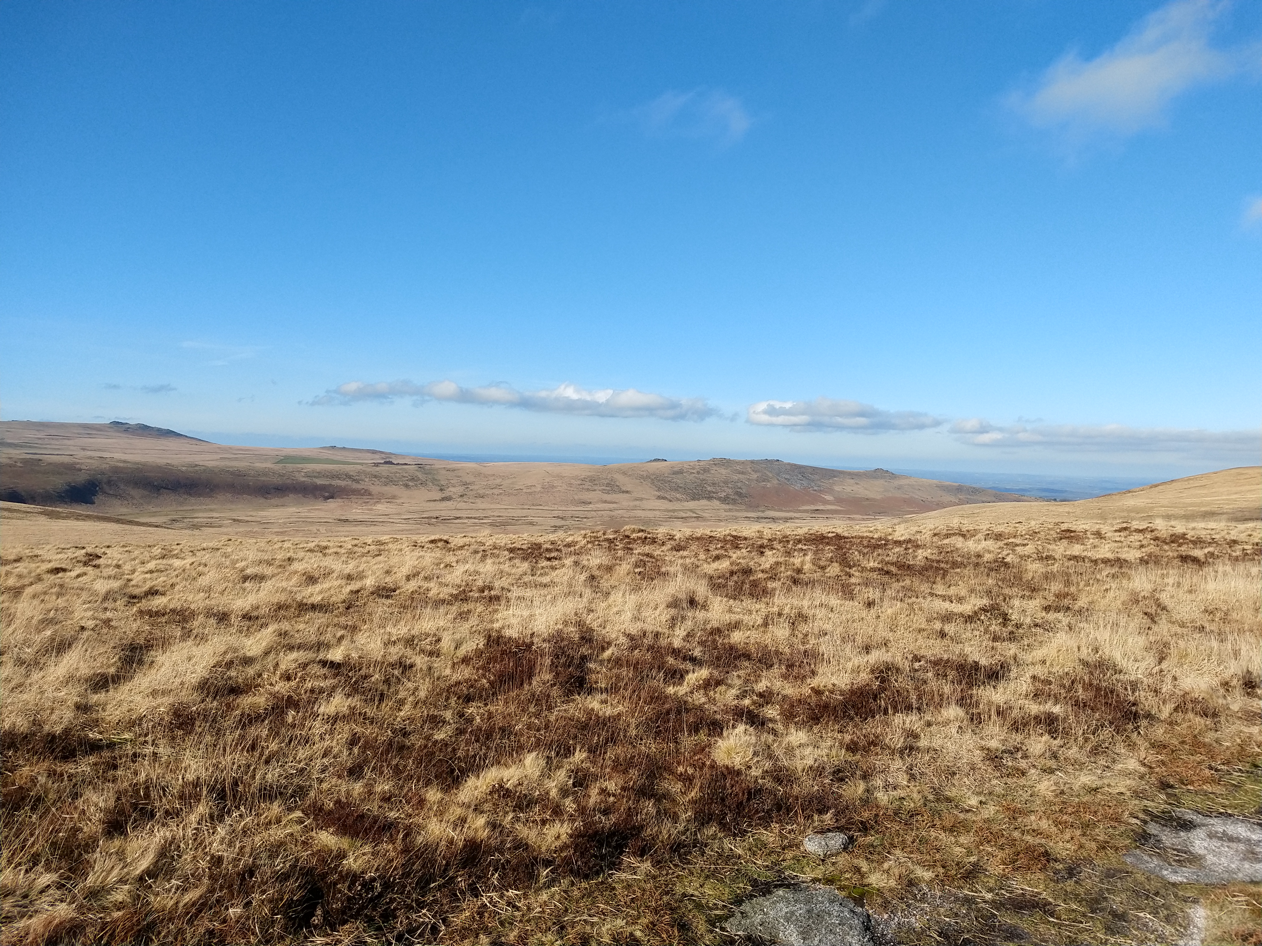
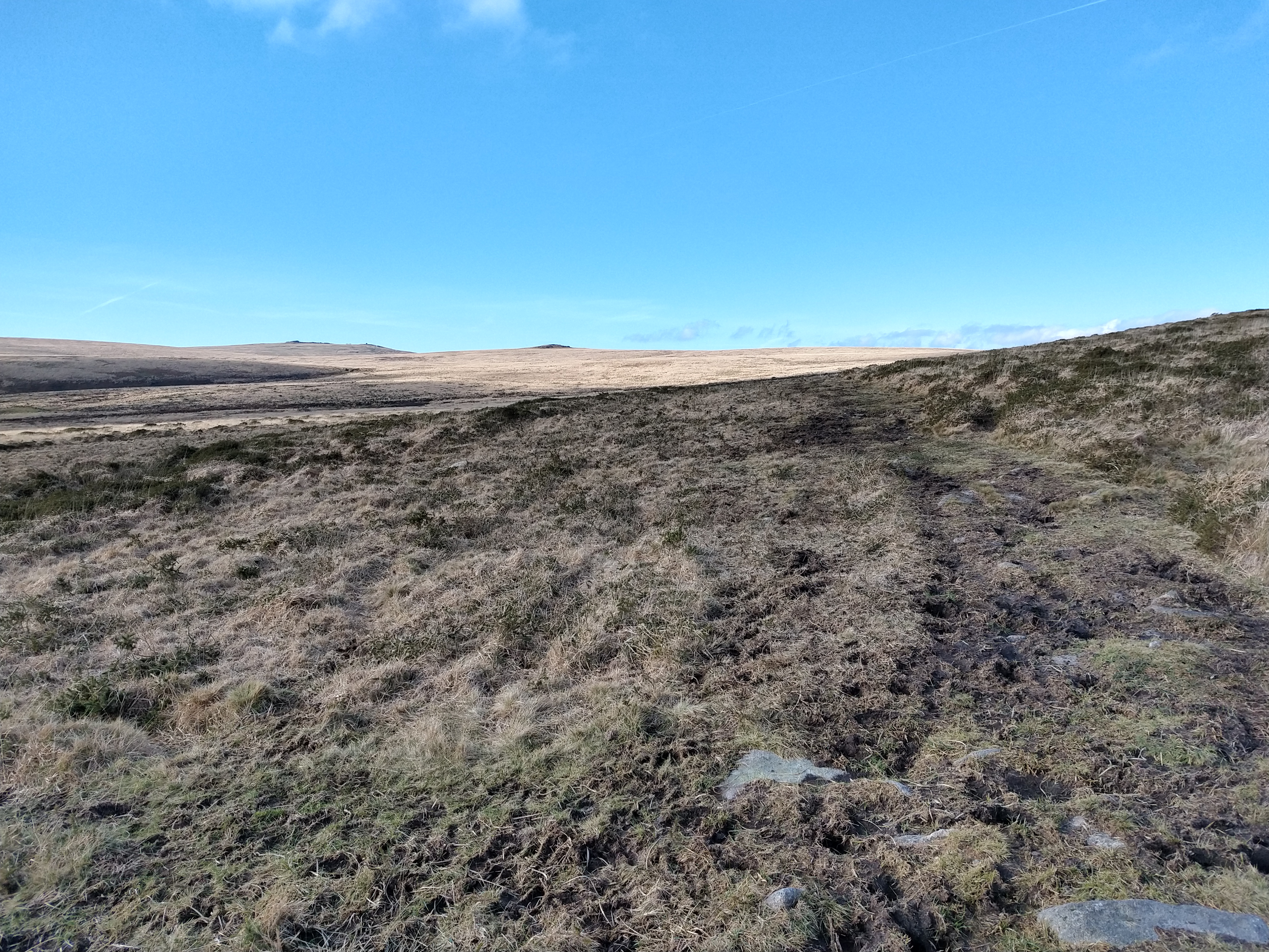
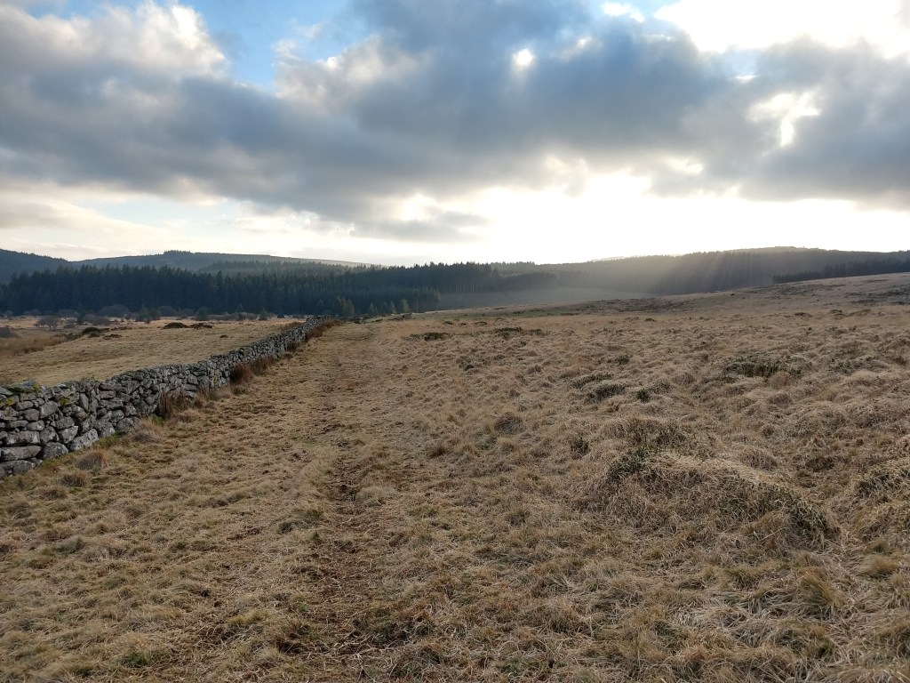
I headed off SE between Kennon Hill and Rival Tor, following a distinct track that heads to Gidleigh. This track can be hard going, due to livestock, people and bad weather making sections deep in mud, so care is needed, and a compass is a good idea in bad weather. But on a good day, the scenery is stunning.

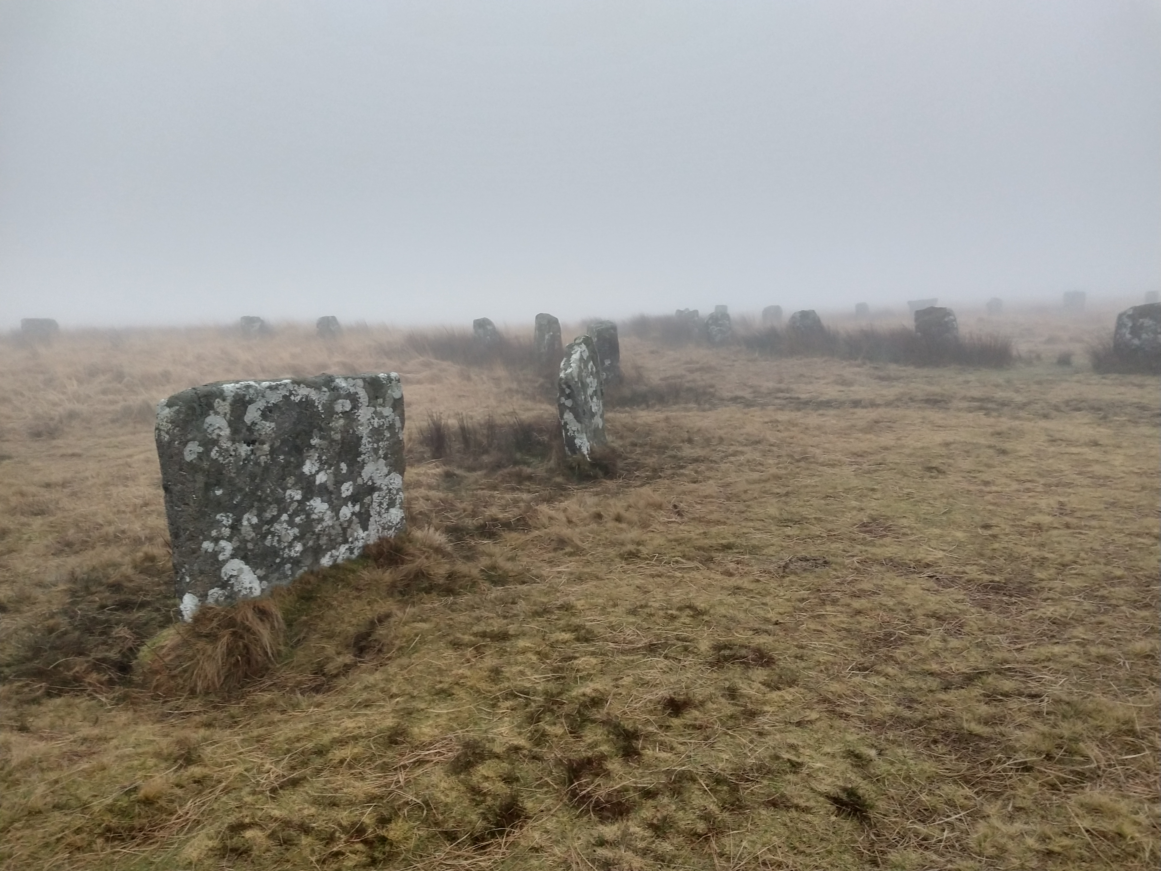
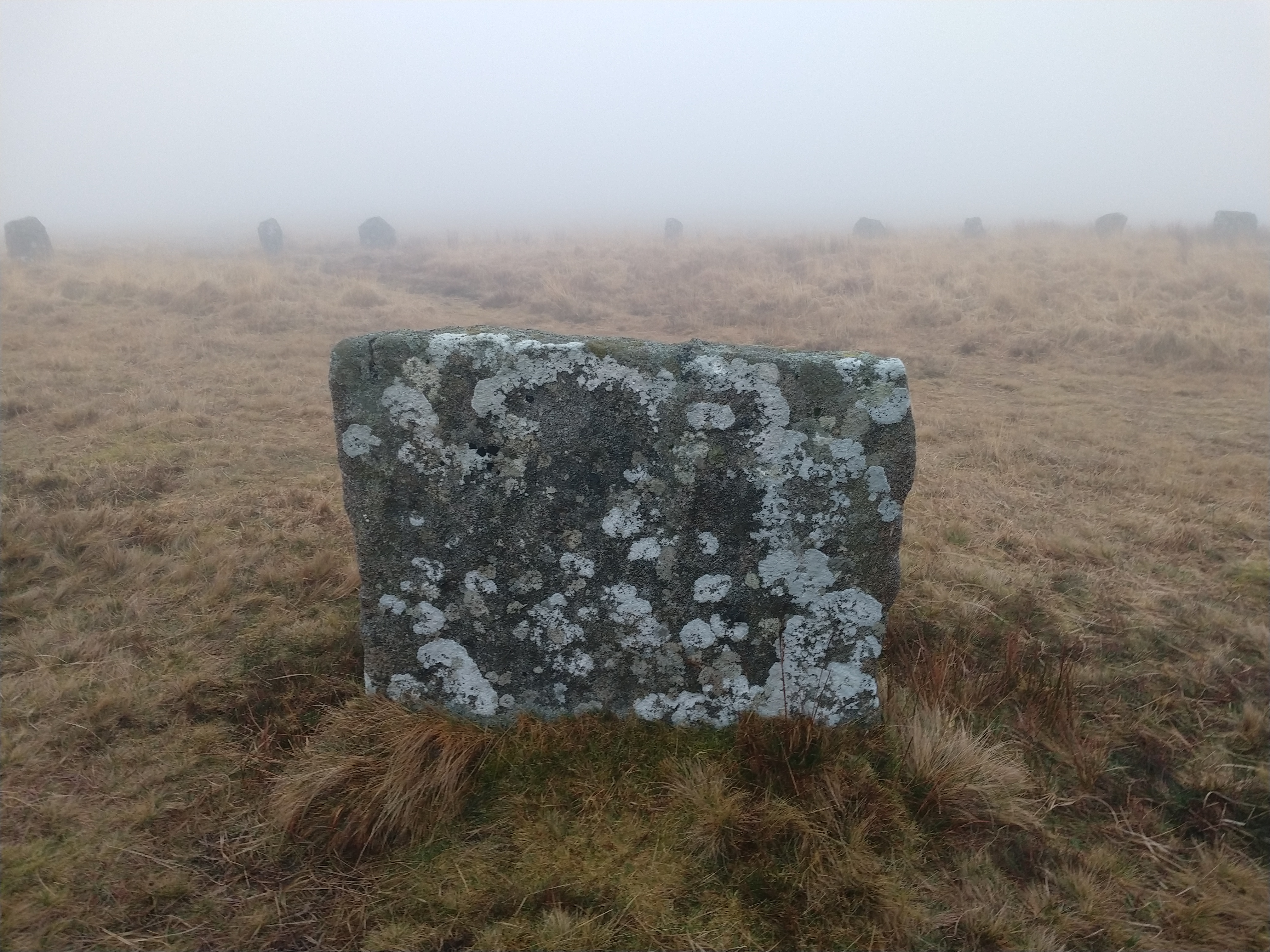
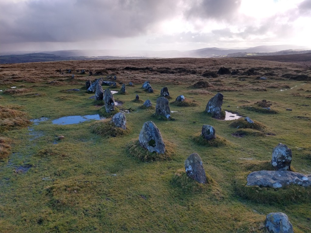
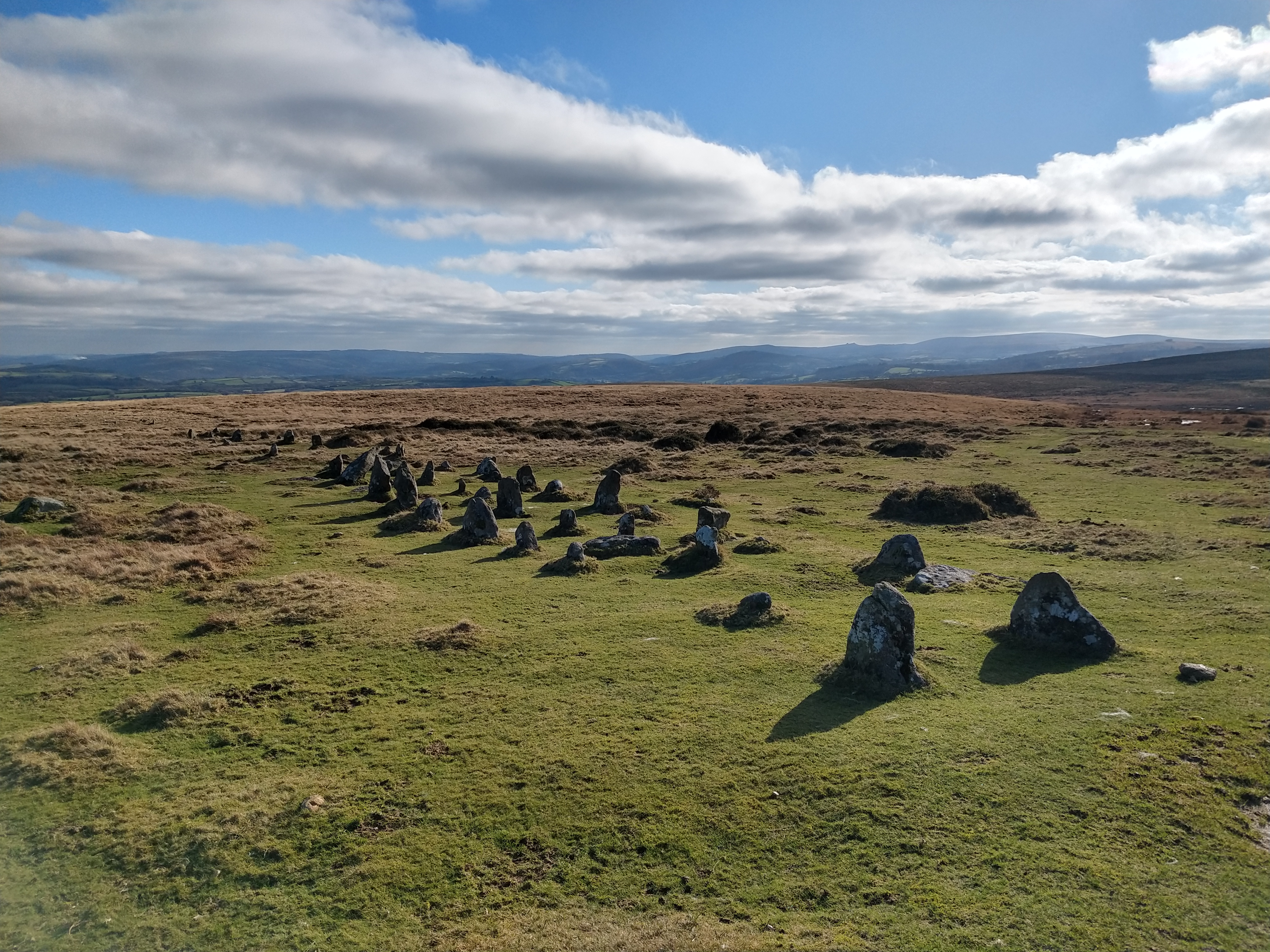
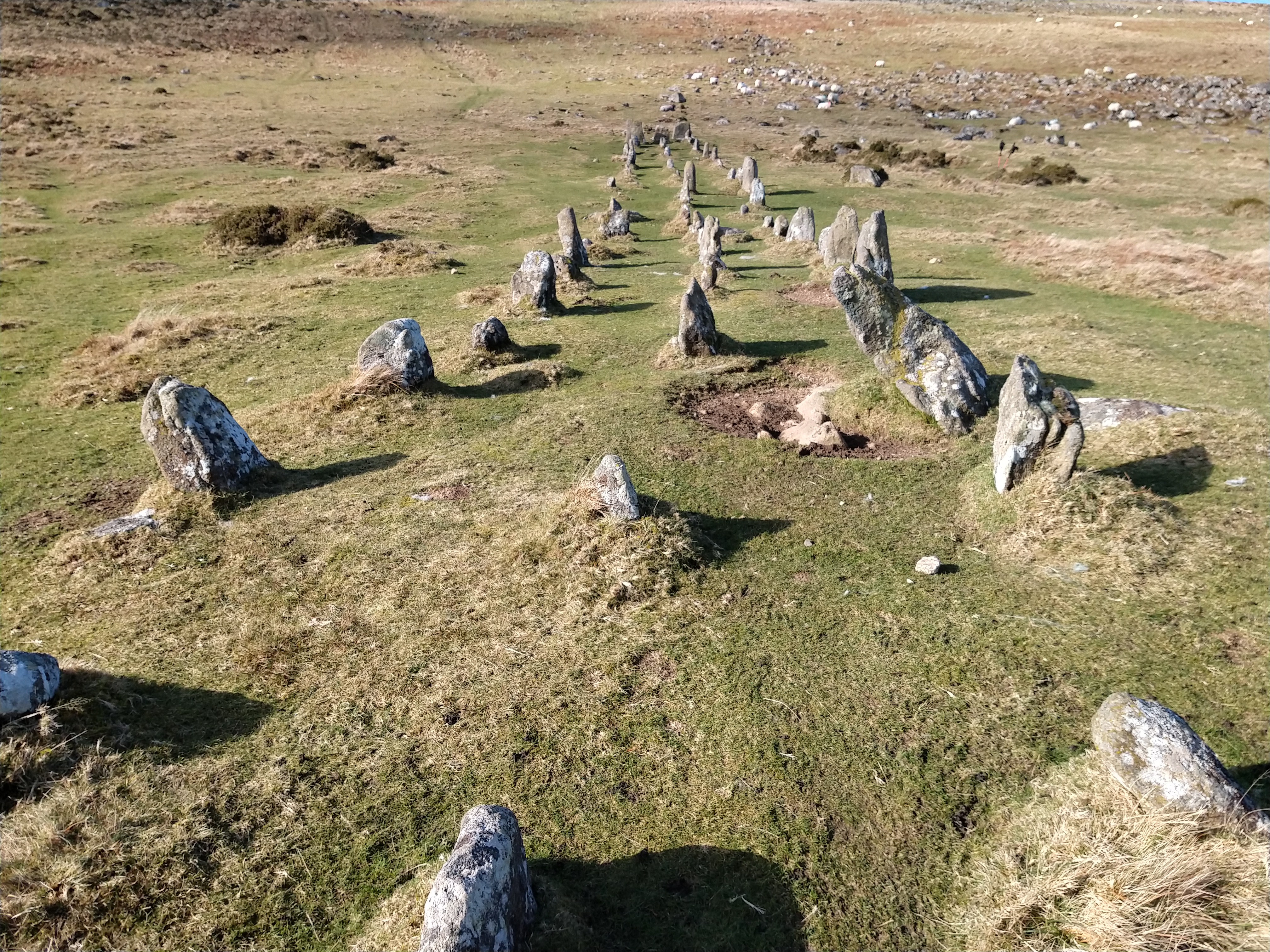
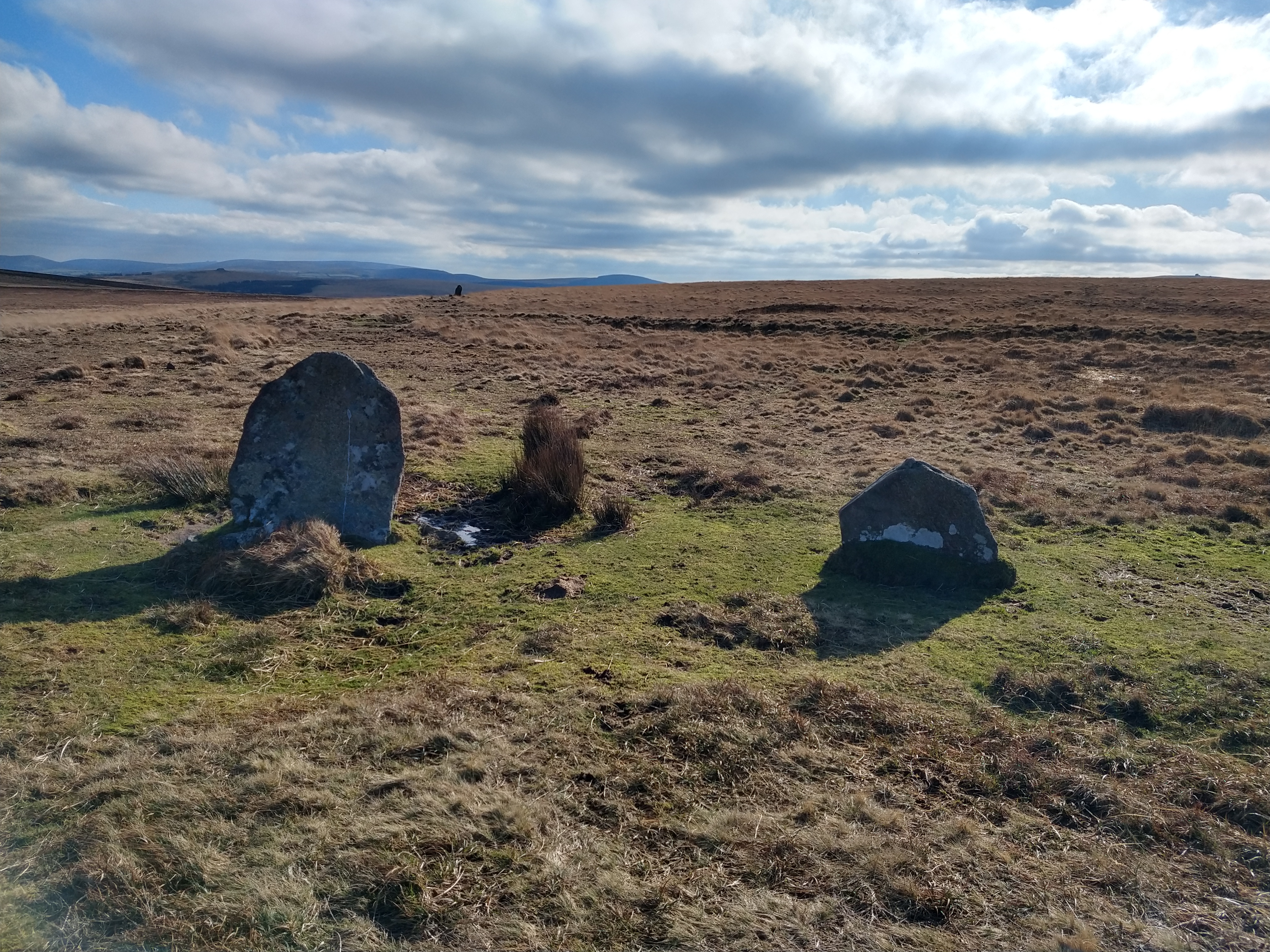
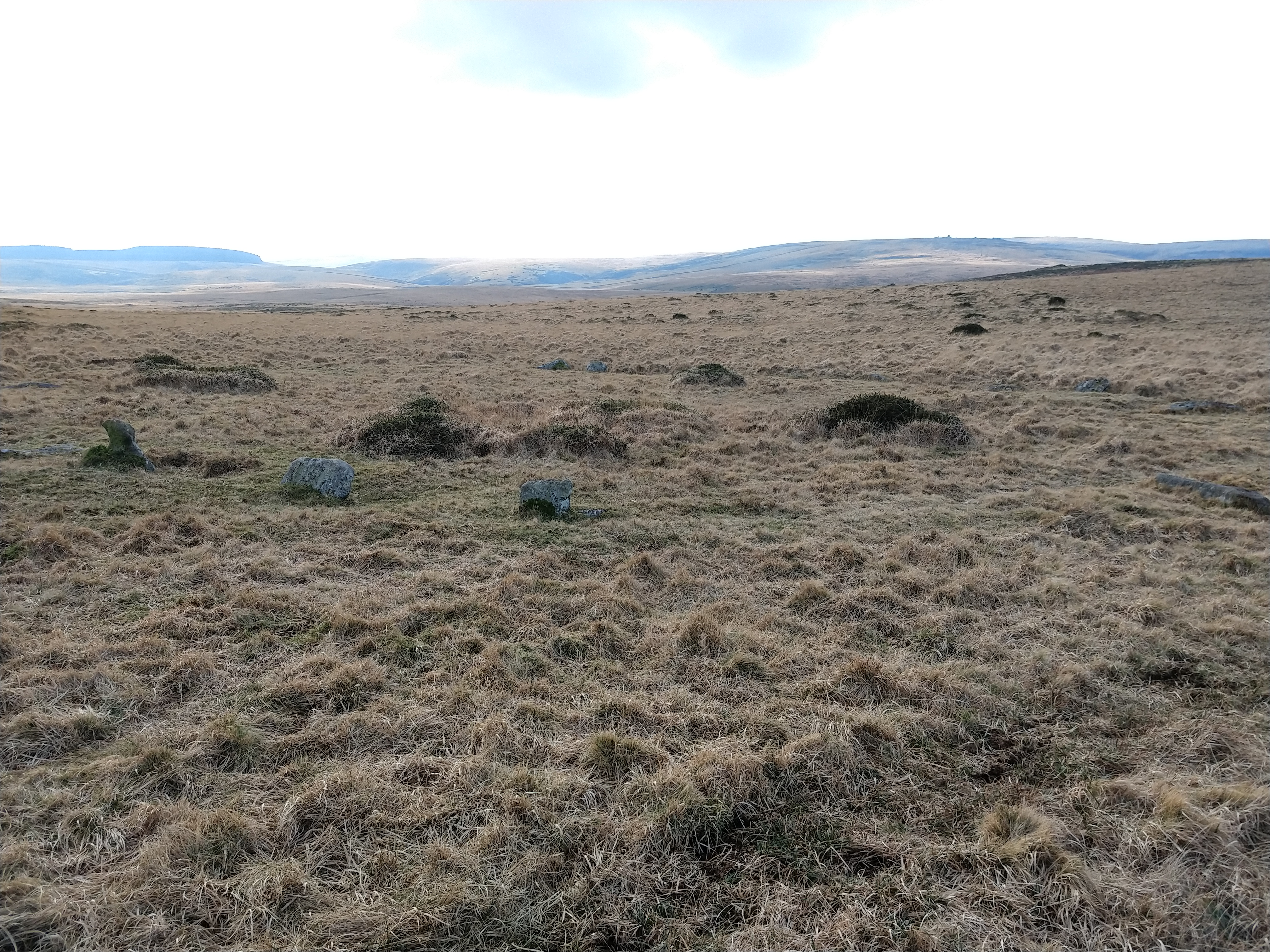
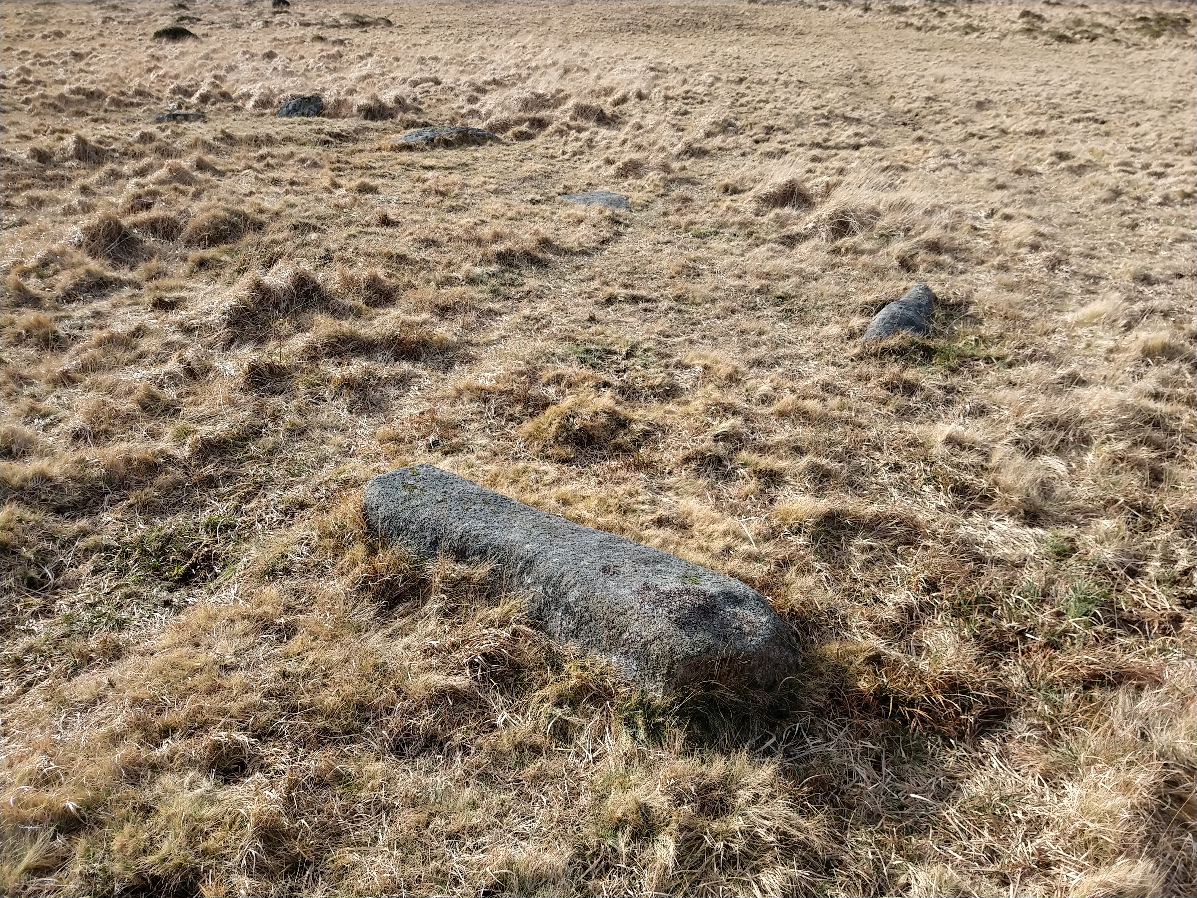
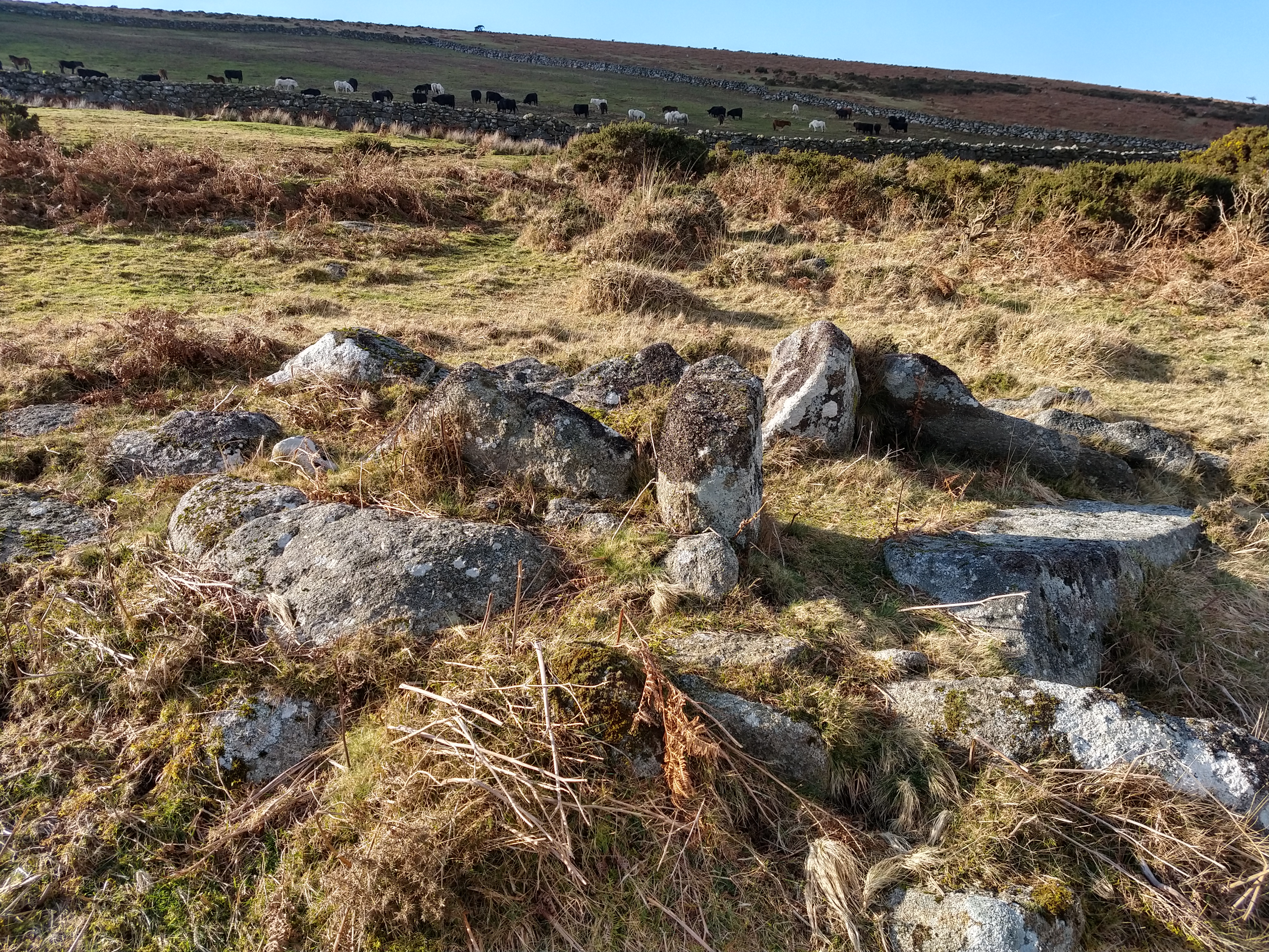
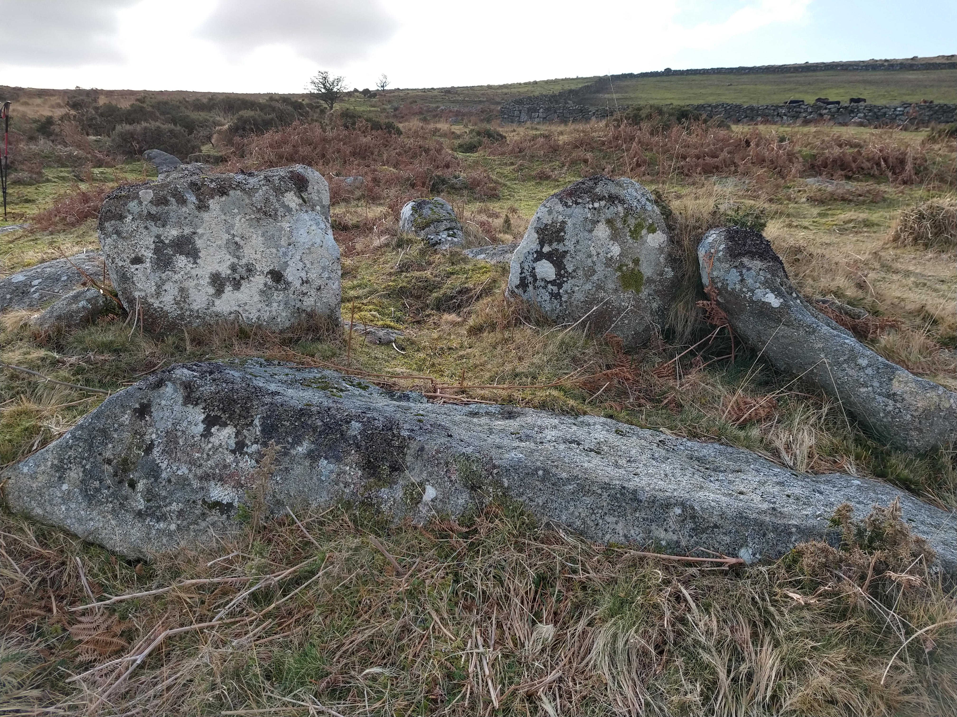
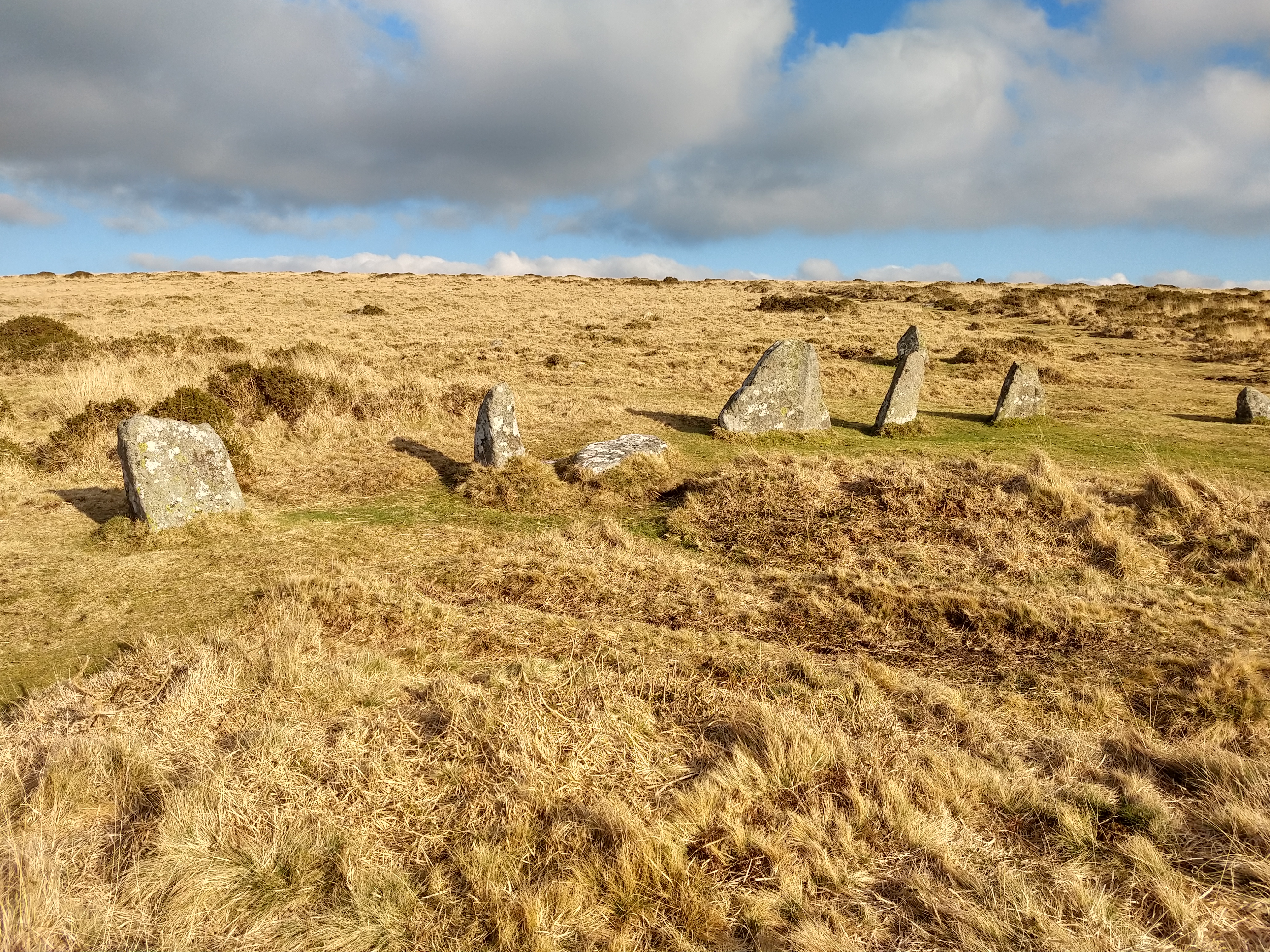
Coming to the east of Buttern hill, I passed over a stream and headed N off the path to Buttern Hill Stone Circle. A circle that people rarely visit, possibly as it’s an unimpressive stone circle these days, as it’s one of the few that hasn’t been “restored”, but it’s still bigger than White Moor circle, at nearly 25m diameter. Only 5 of the 20-odd stones still stand.

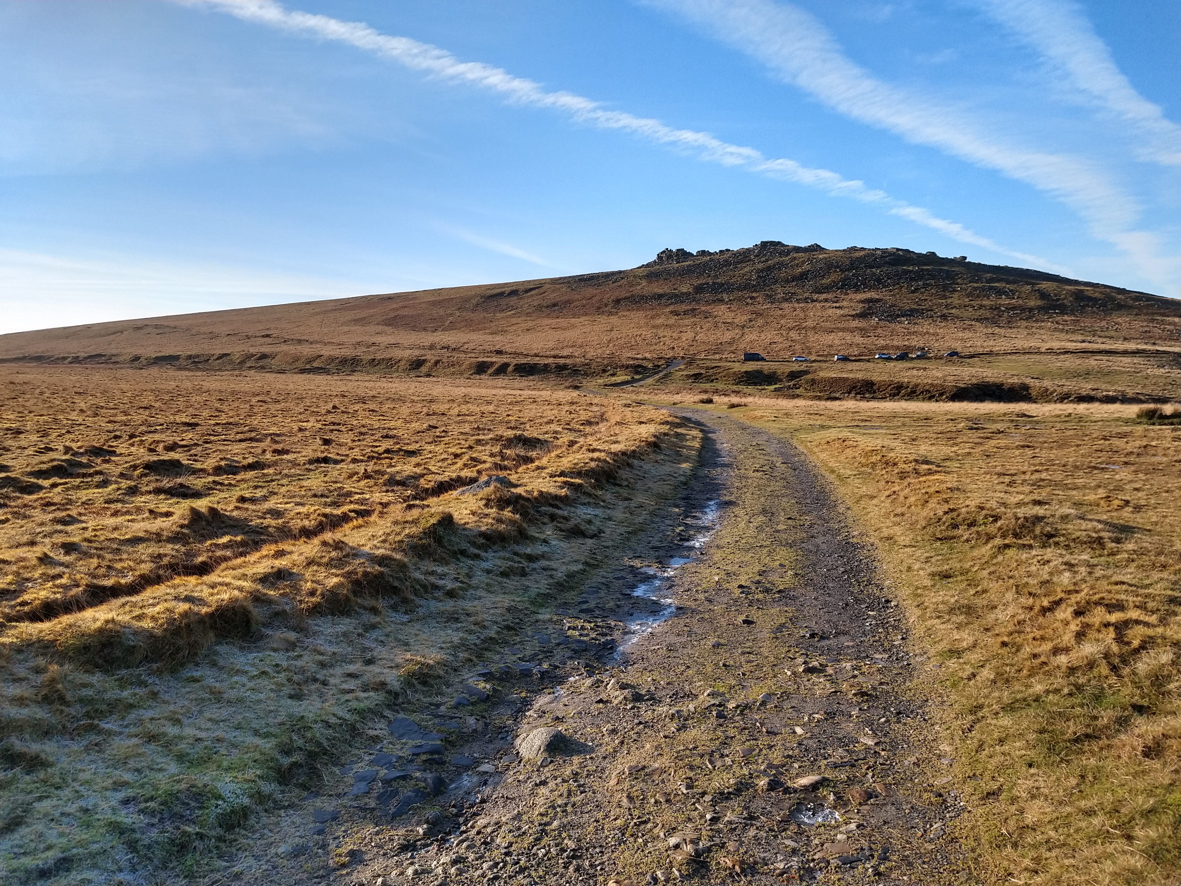
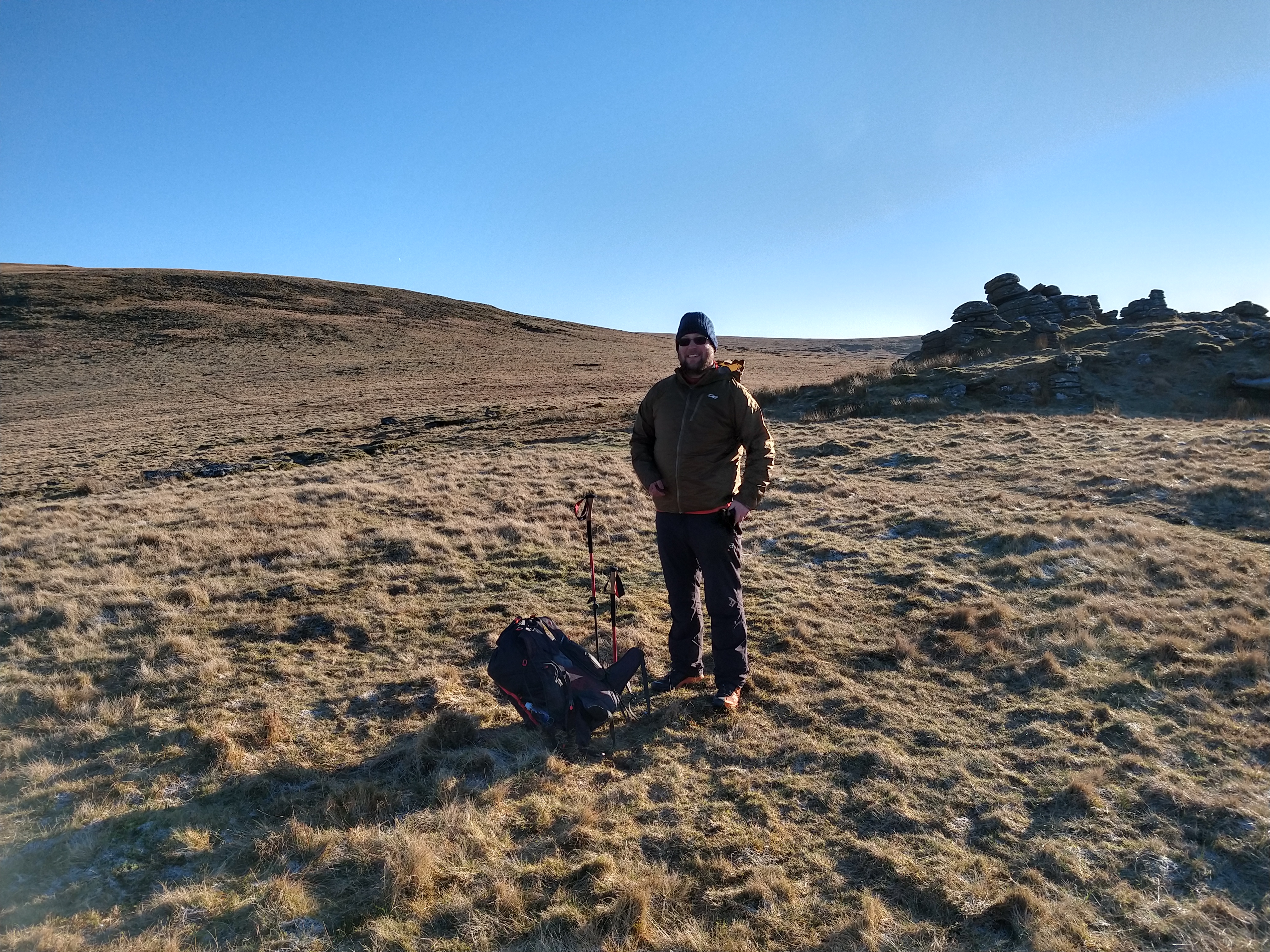
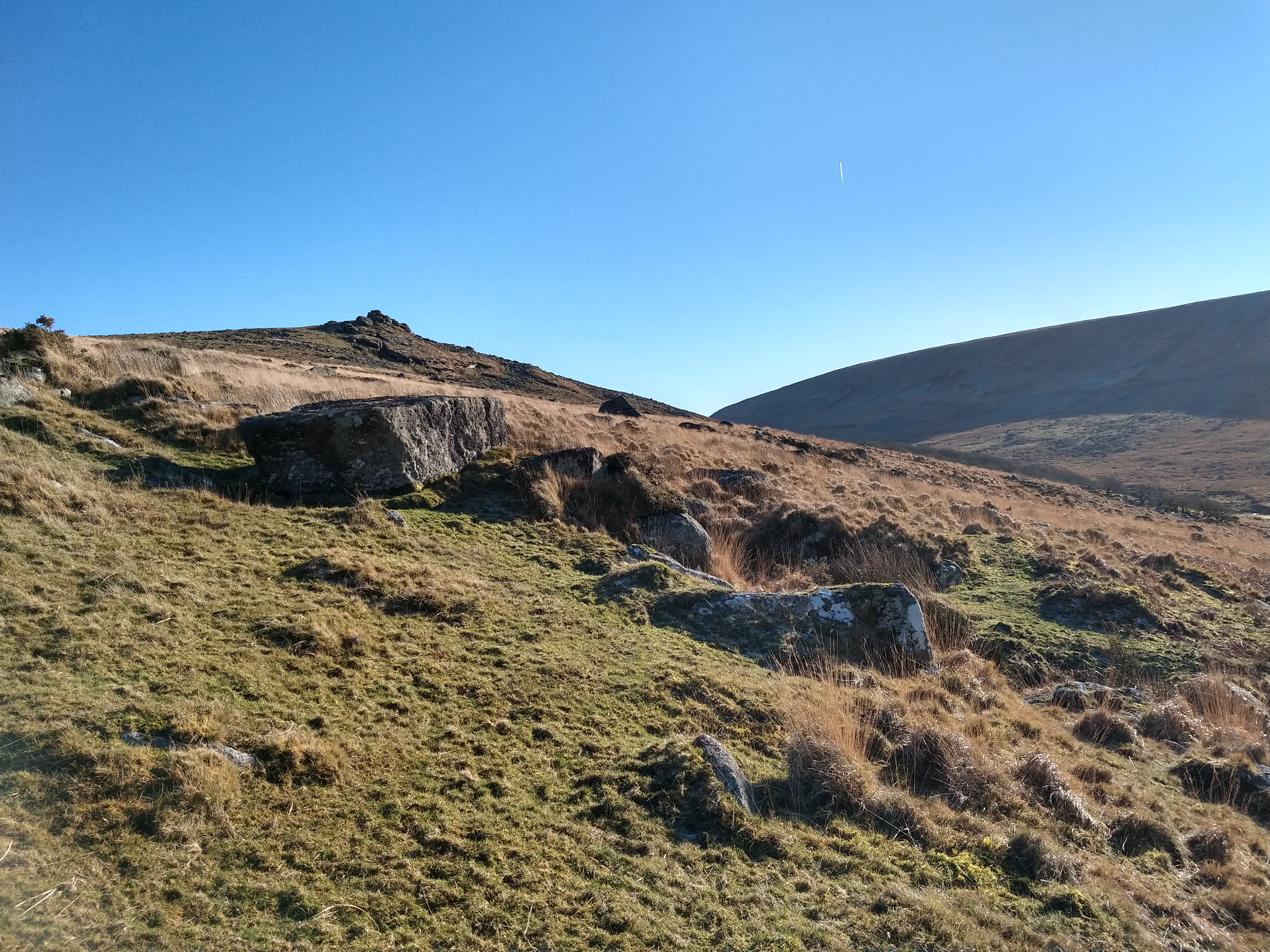
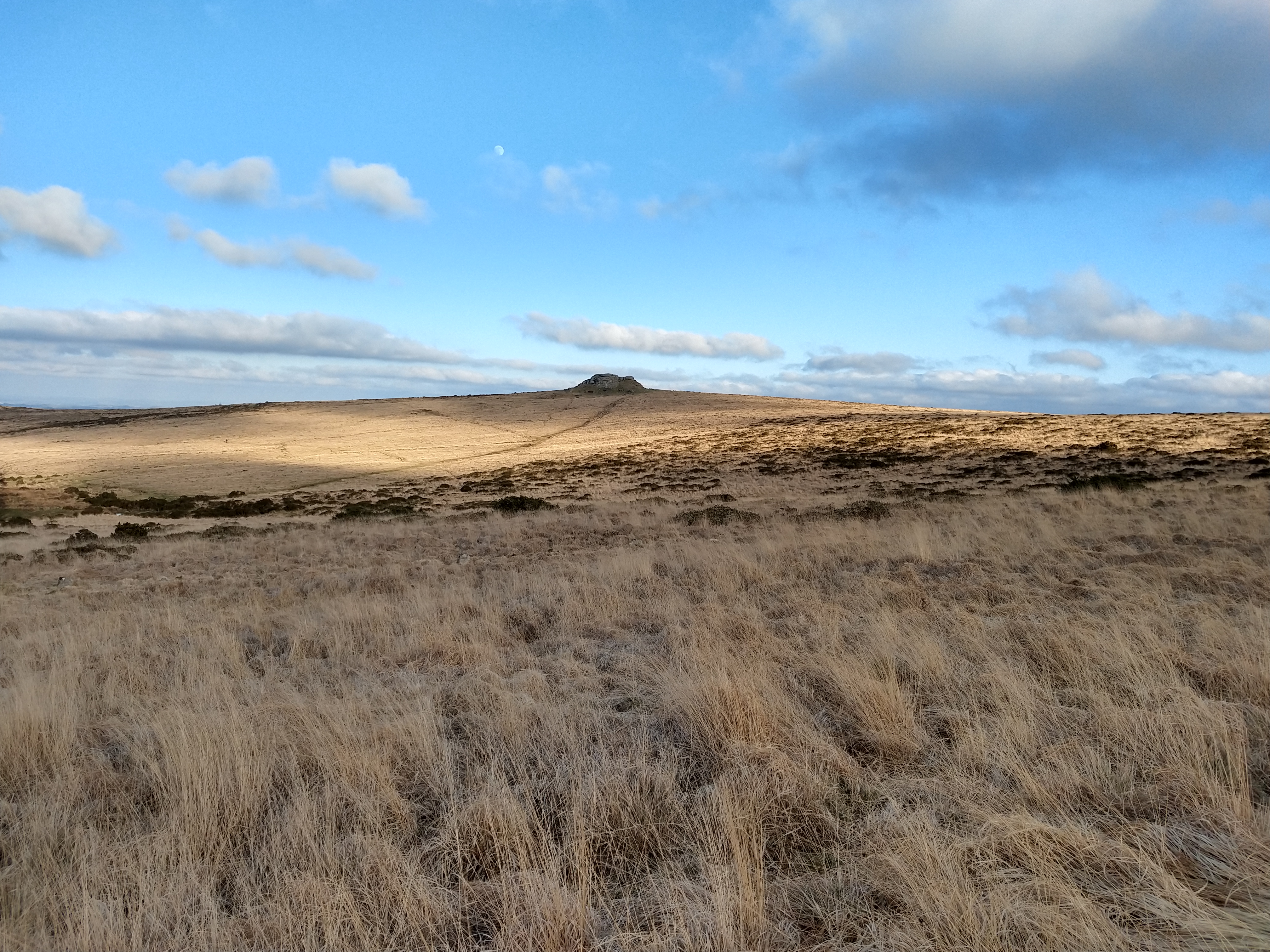
A path headed east up to the top of Buttern Hill. I went off looking for some cairns on the summit of the hill, though apart from some lumps and bumps, nothing seemed distinct, so I headed off to the Tor to bag another tor I had not yet visited.

Buttern Rocks

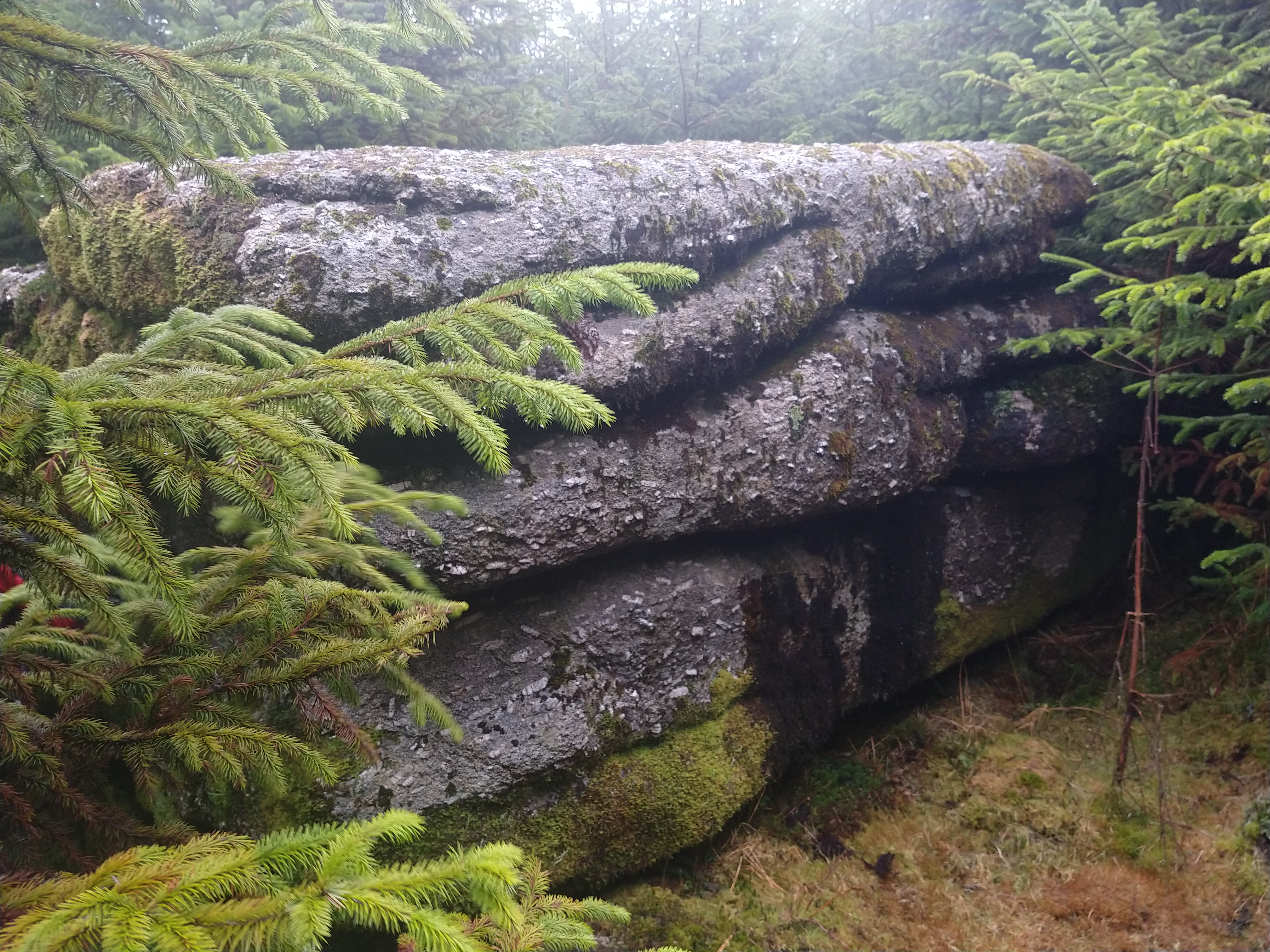
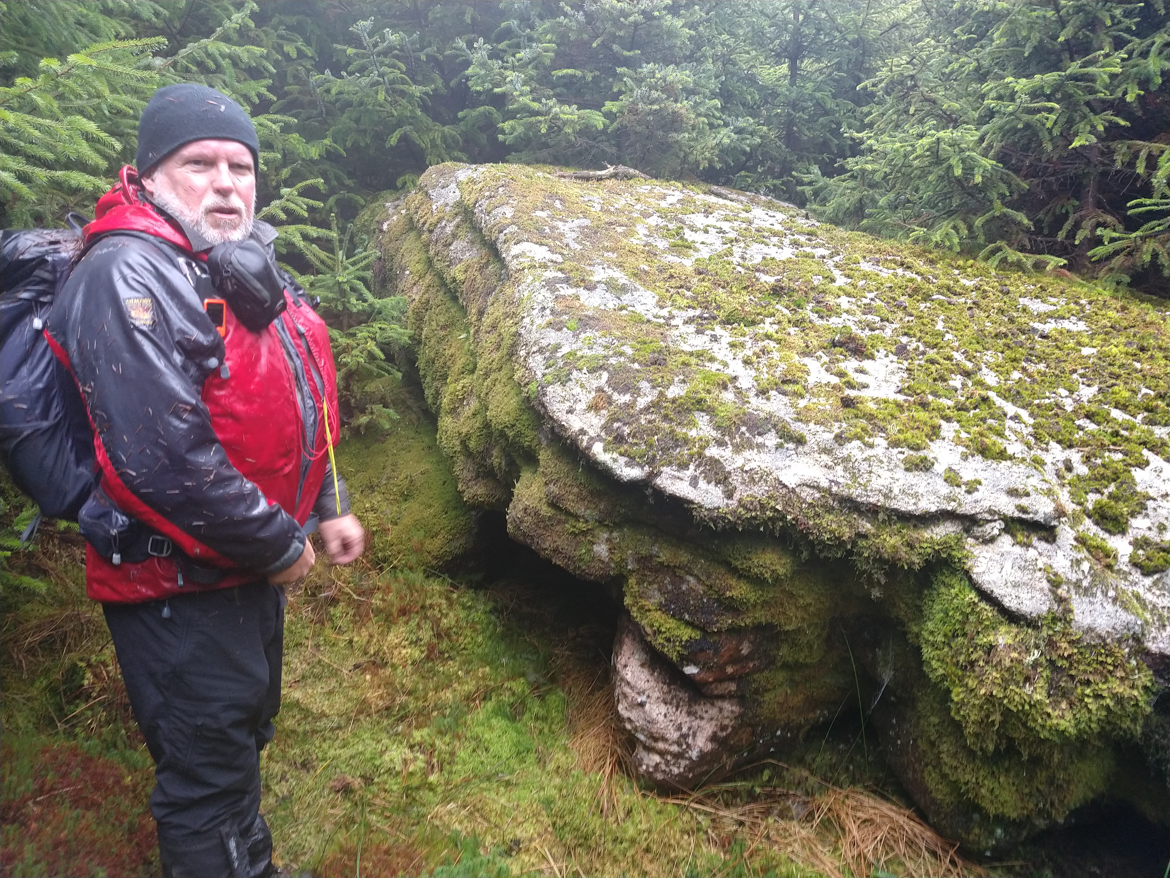
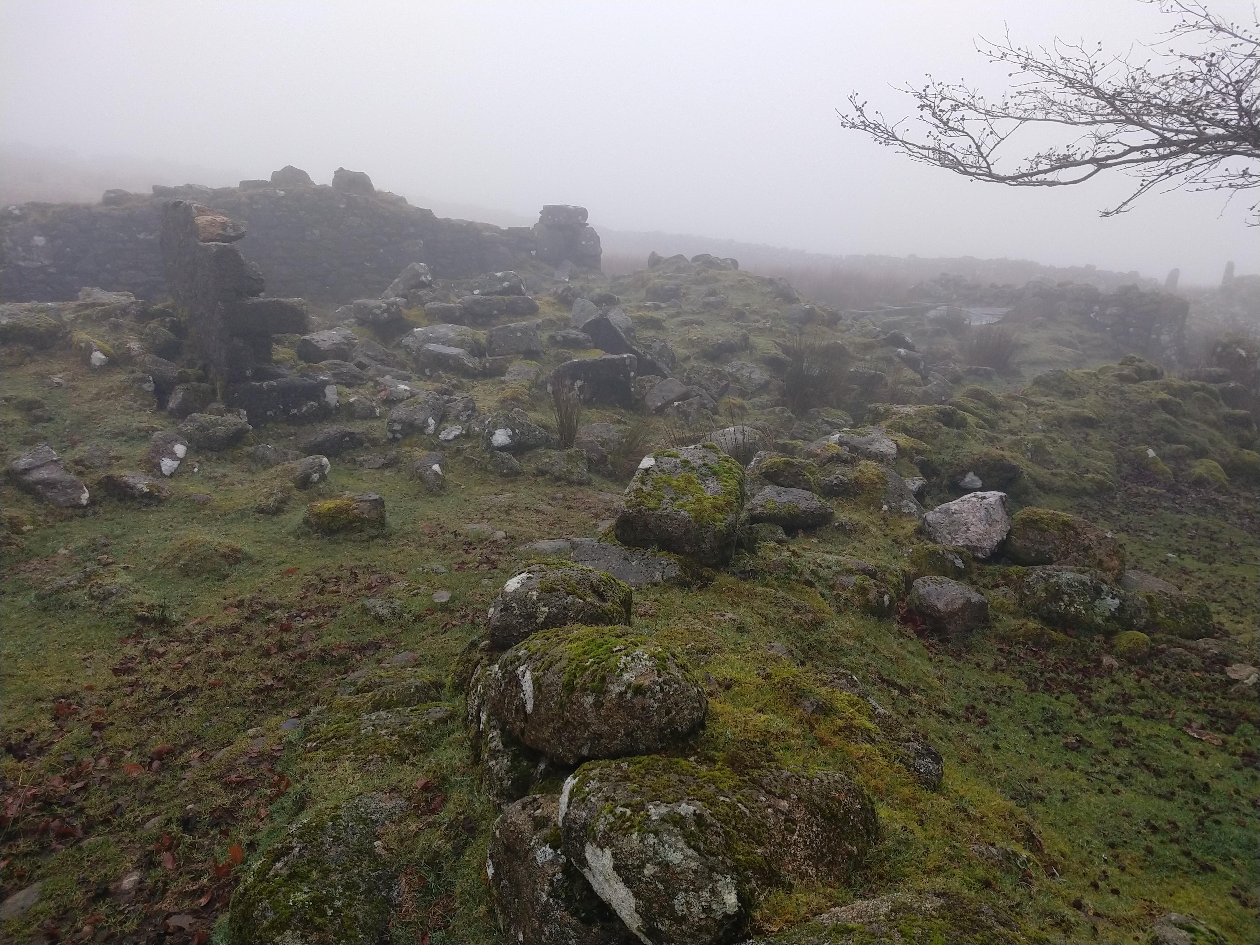
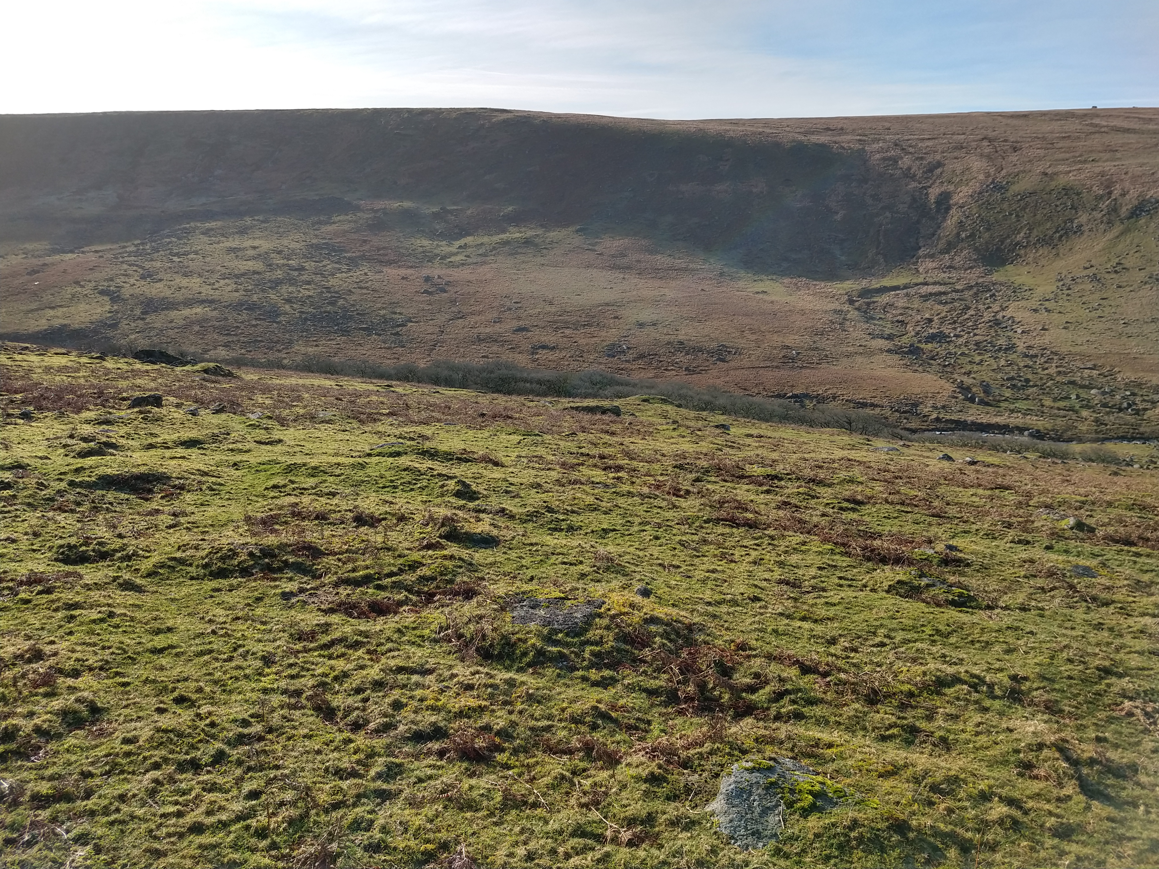
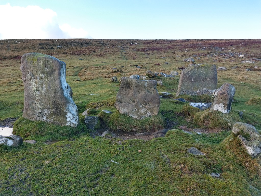
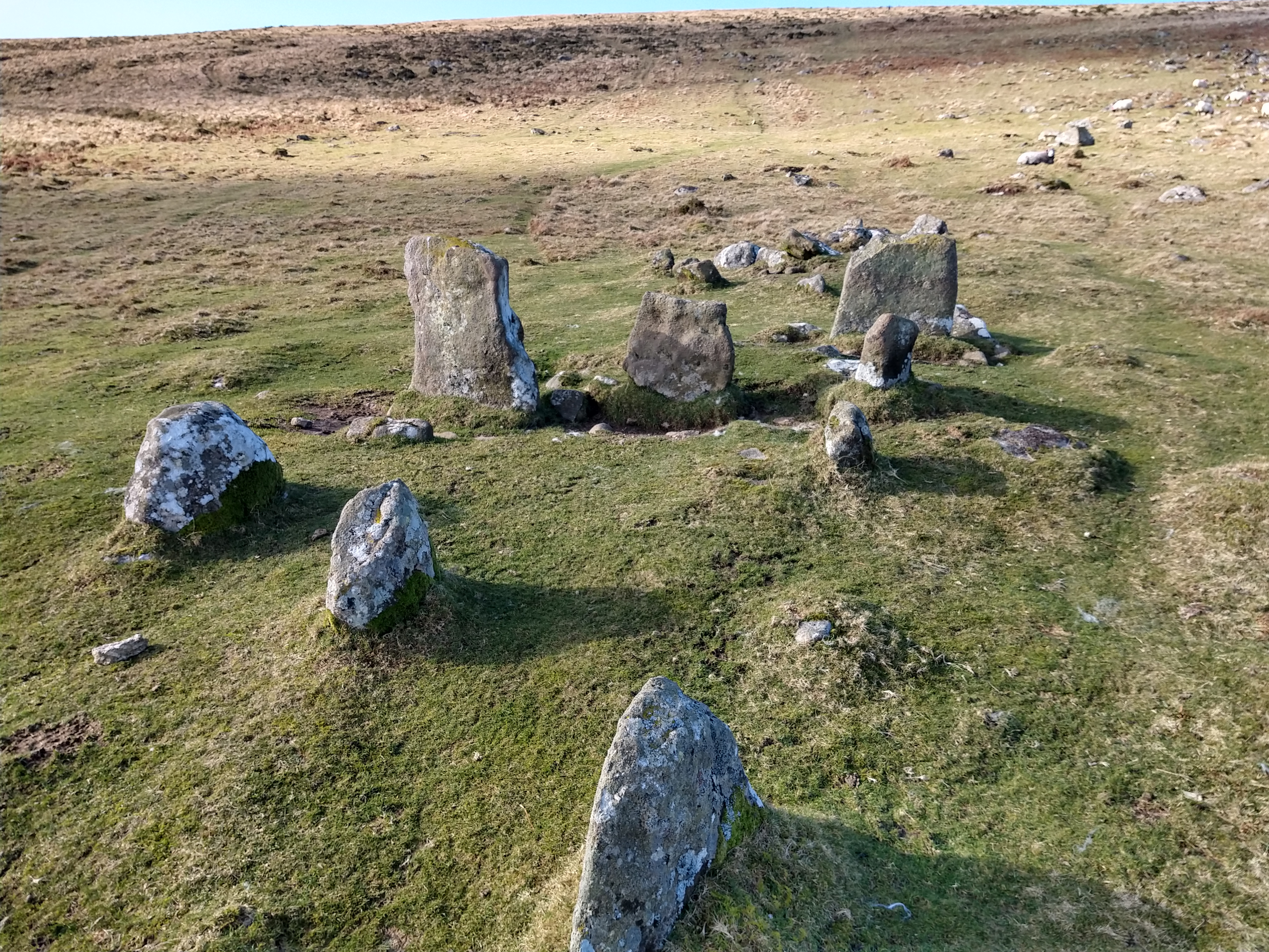
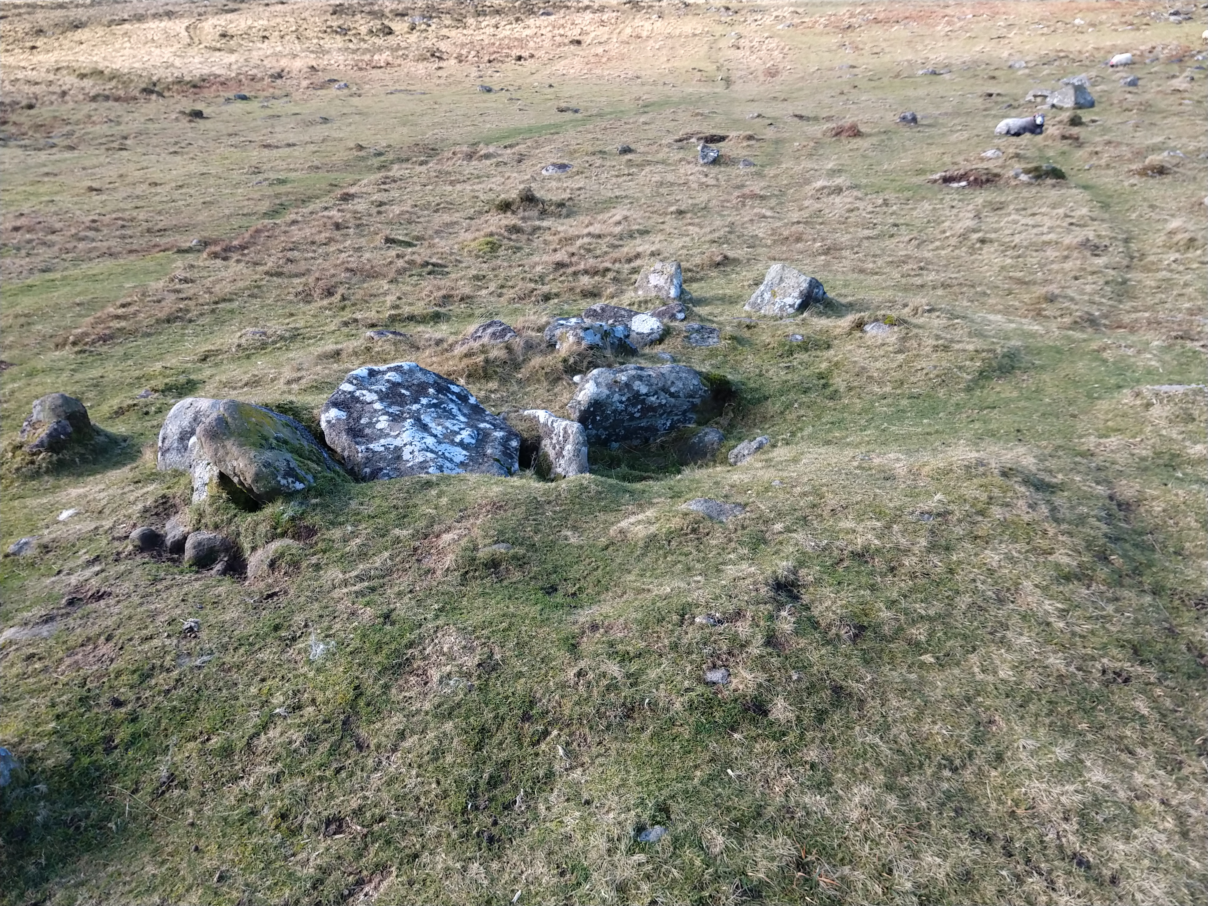
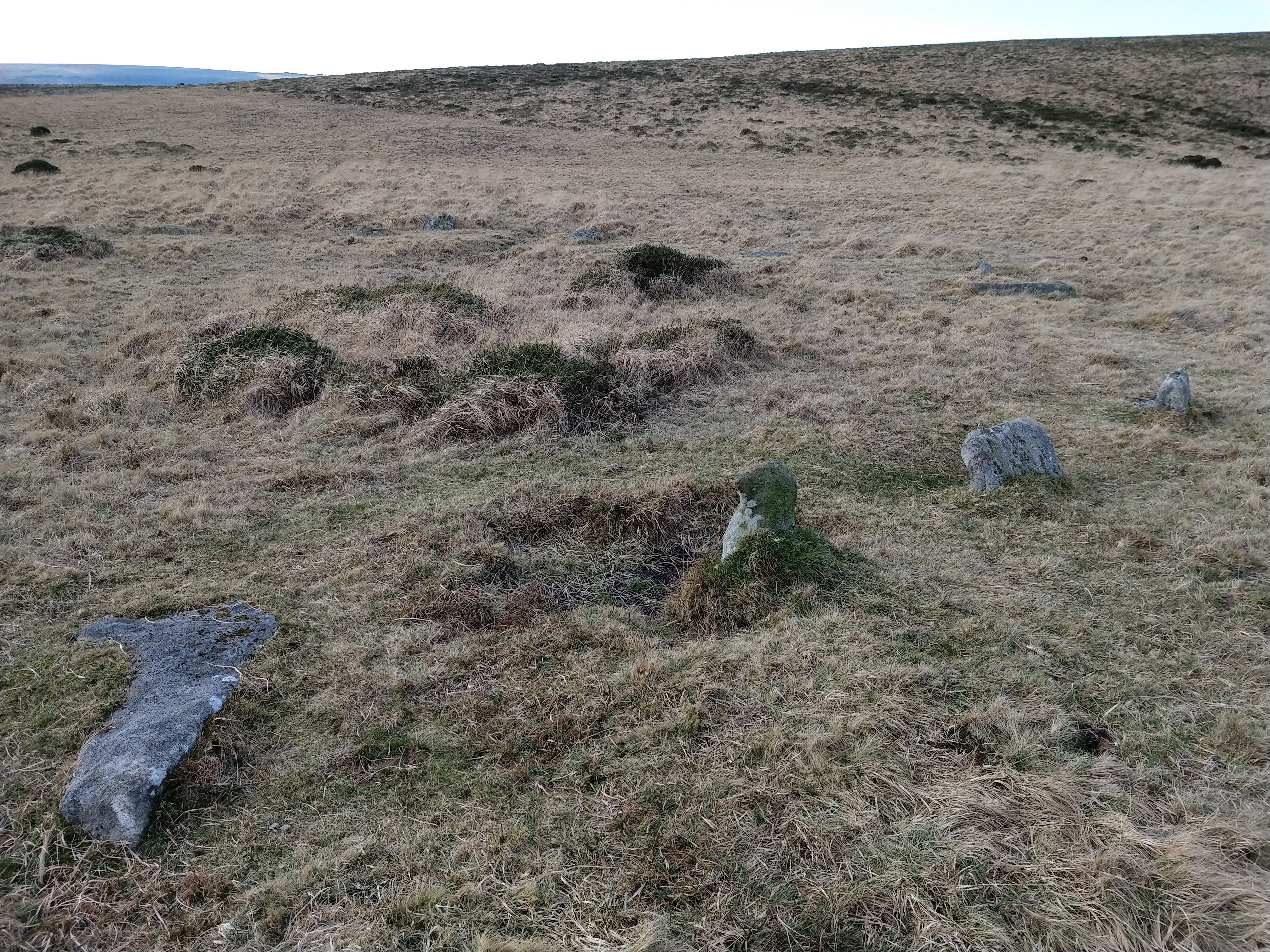
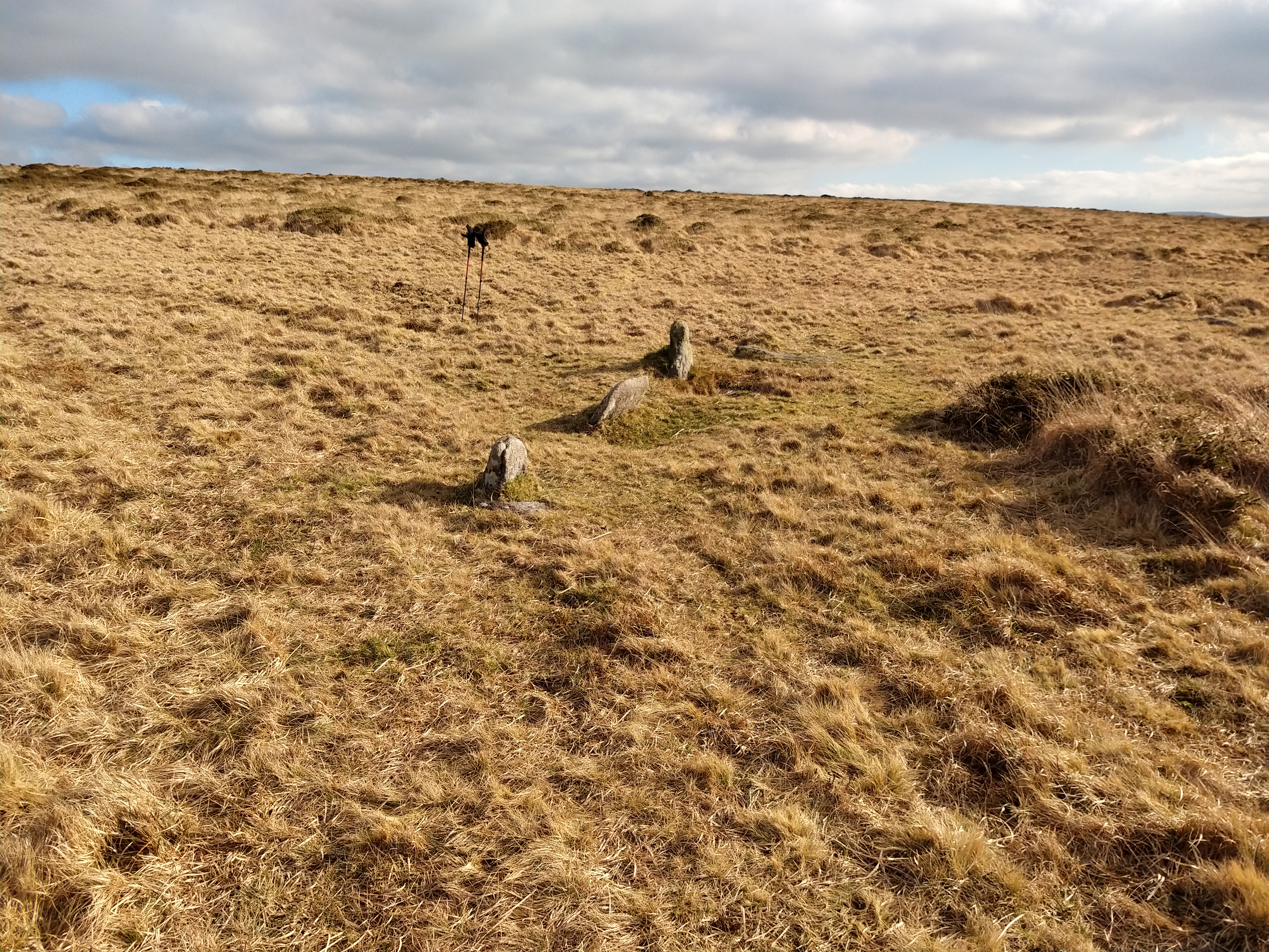
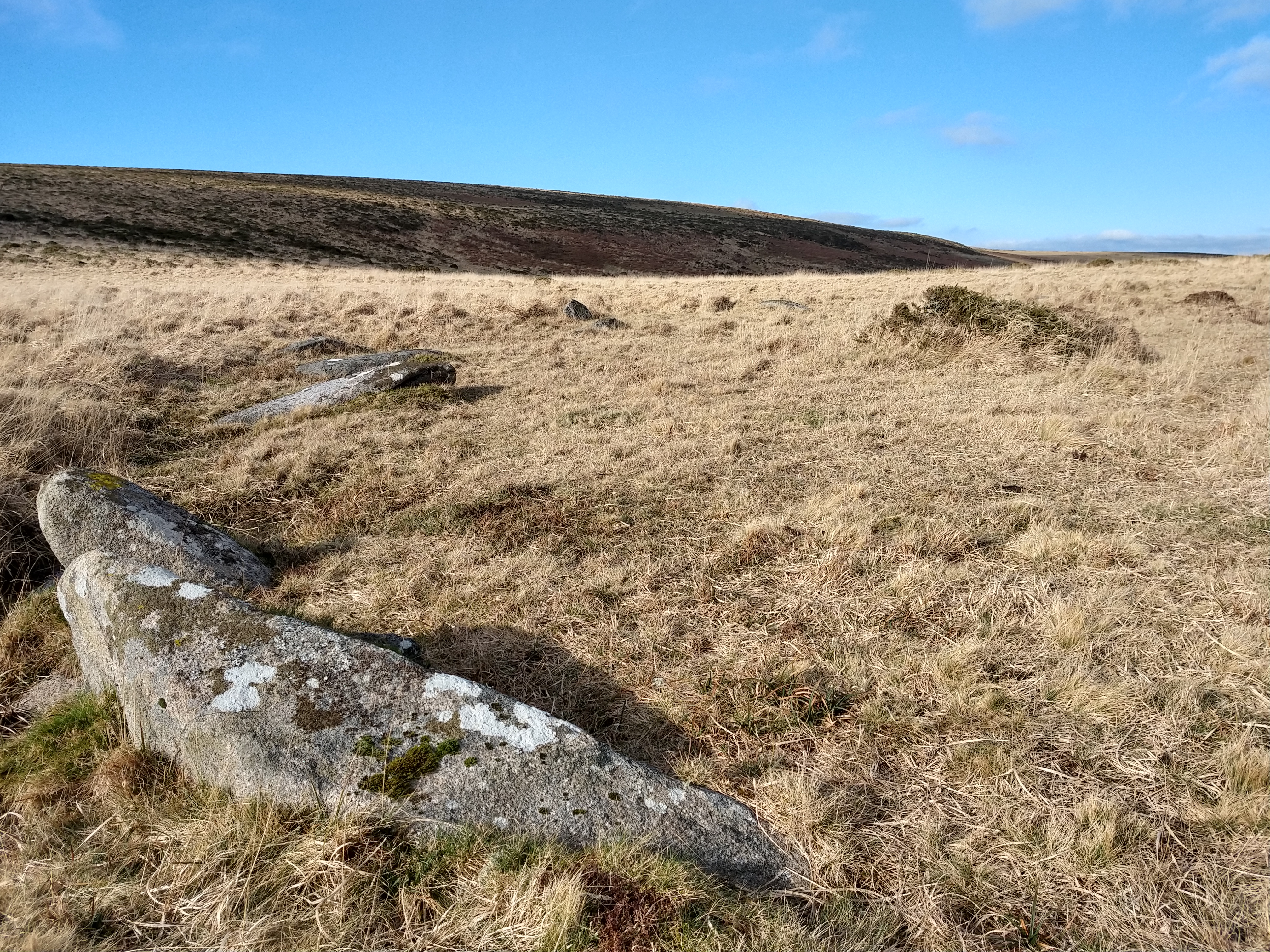
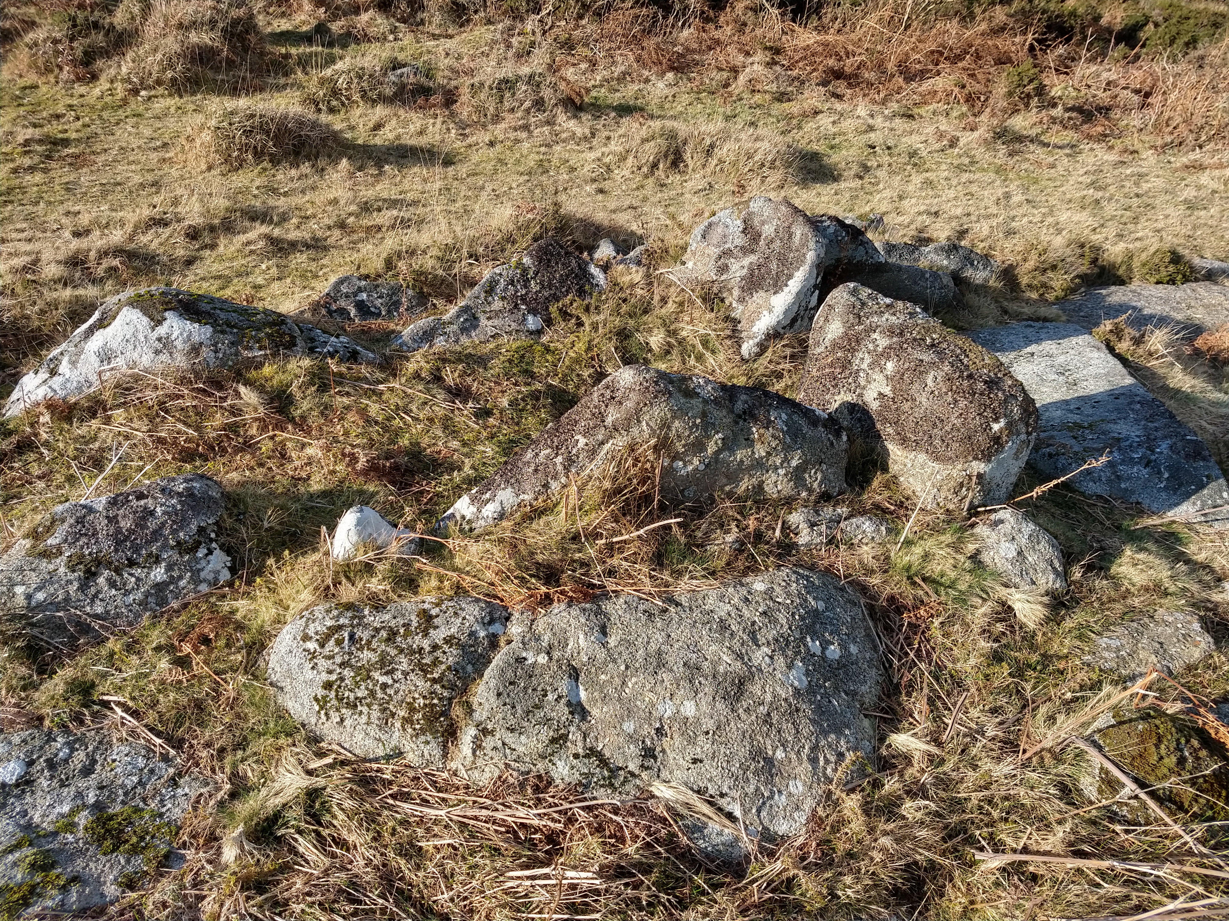
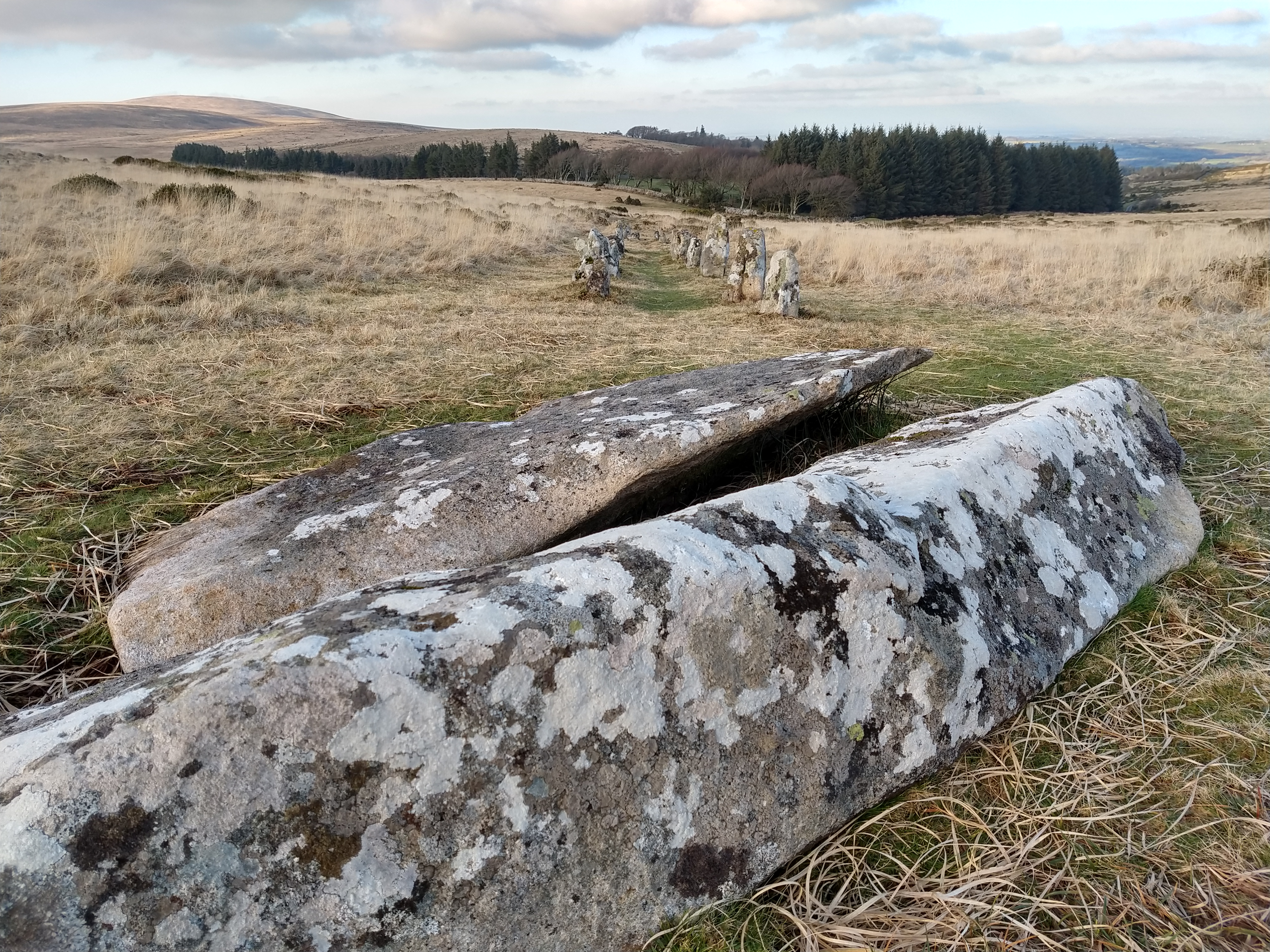
Further to the east of Buttern Hill sits what the map calls a chambered cairn, so I headed around a walled enclosure, full of cattle and horses. After a while searching I came across it, a cairn showing the remains of a chamber or cist, with stones sat on edge to create a structure the likes of which I have not before seen on Dartmoor so far.

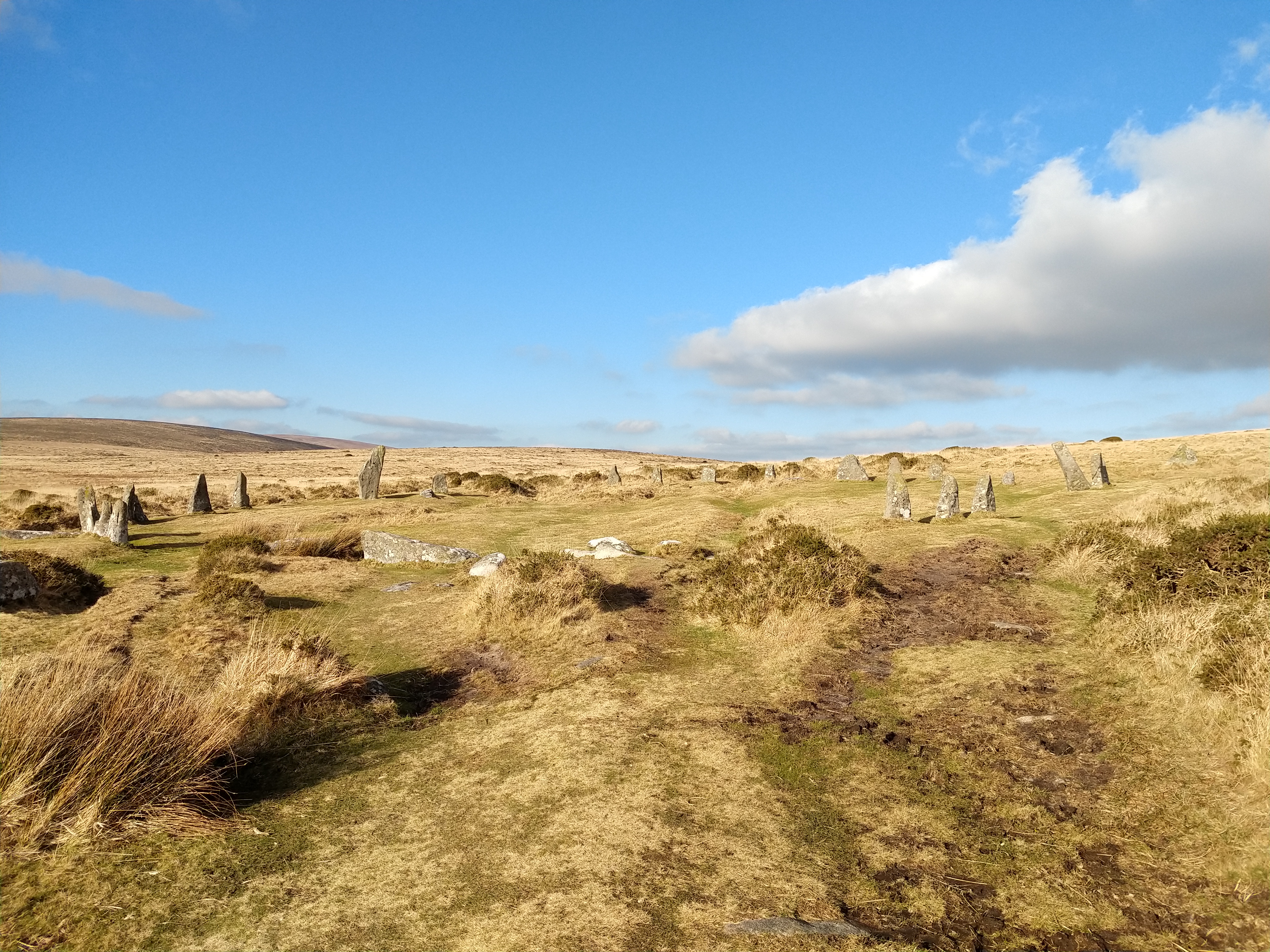
Time was getting on, and I was hungry, so decided to head to Scorhill, visit the circle and have lunch. I have visited Scorhill circle many times; it was the very first place I ever visited on Dartmoor. And it is one of Dartmoor’s most impressive circles, at over 27m in diameter and with a lot of the stones still standing. Its close proximity to a carpark makes this a popular tourist site, although on the day I visited, there was no-one, and I think this is the only time Ive ever had the circle to myself!

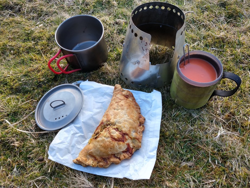
Time for food, I was getting peckish. Finding a nice quiet spot, I filtered some water, and broke out the stove to boil some water, tomato soup with a cheese pasty, a perfect lunch. Sat for bout an hour just watching clouds and time float by.

nom nom

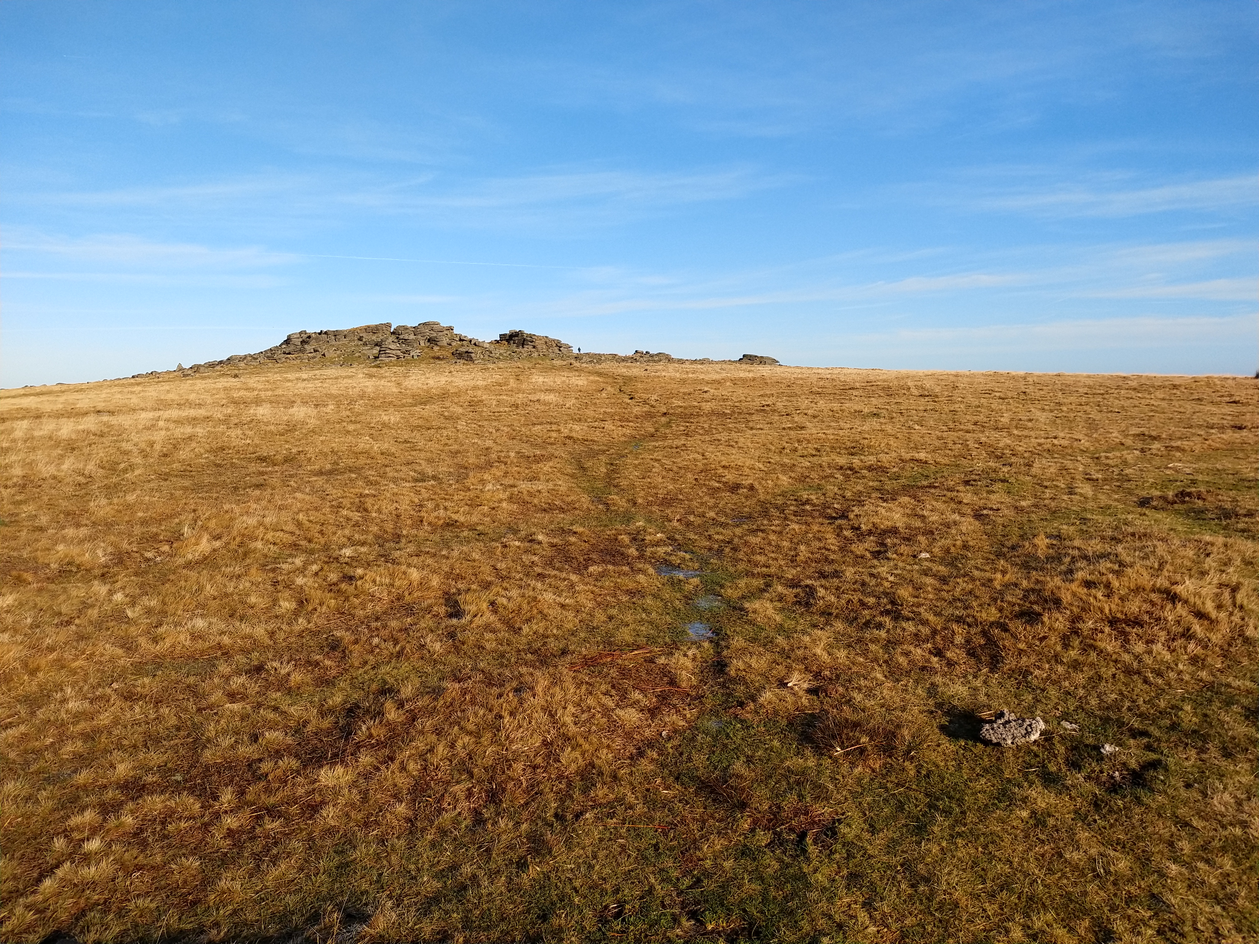
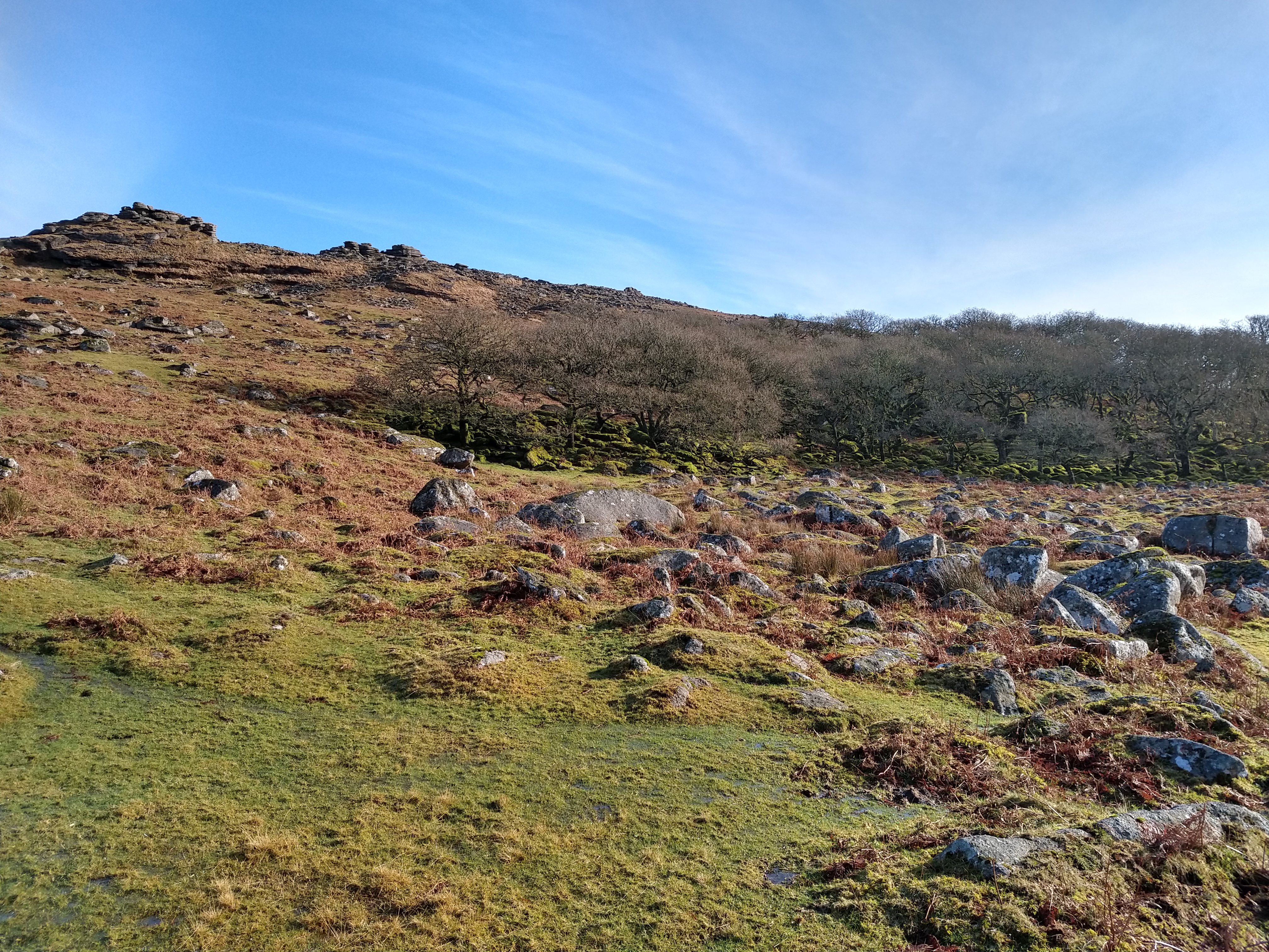
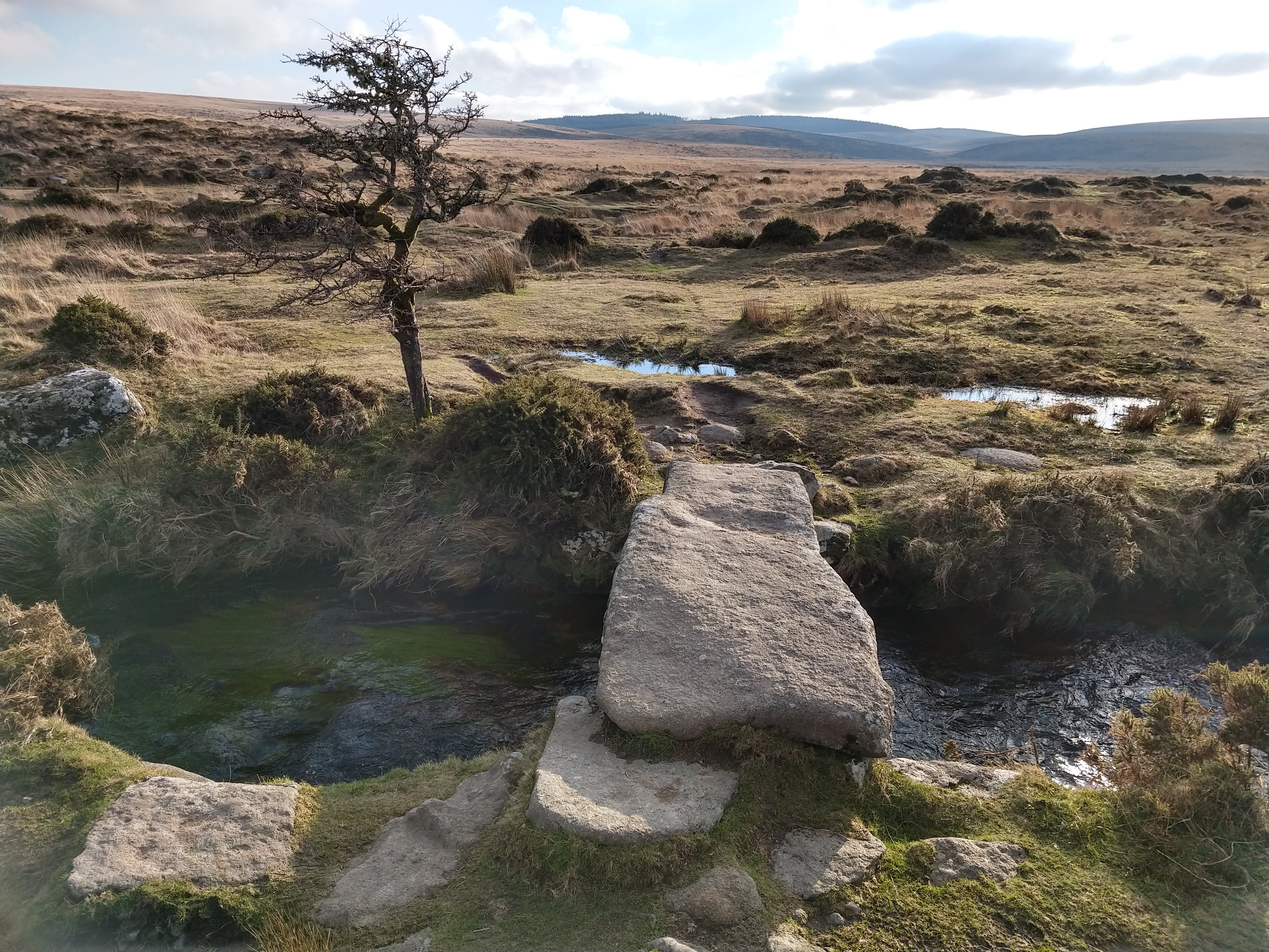
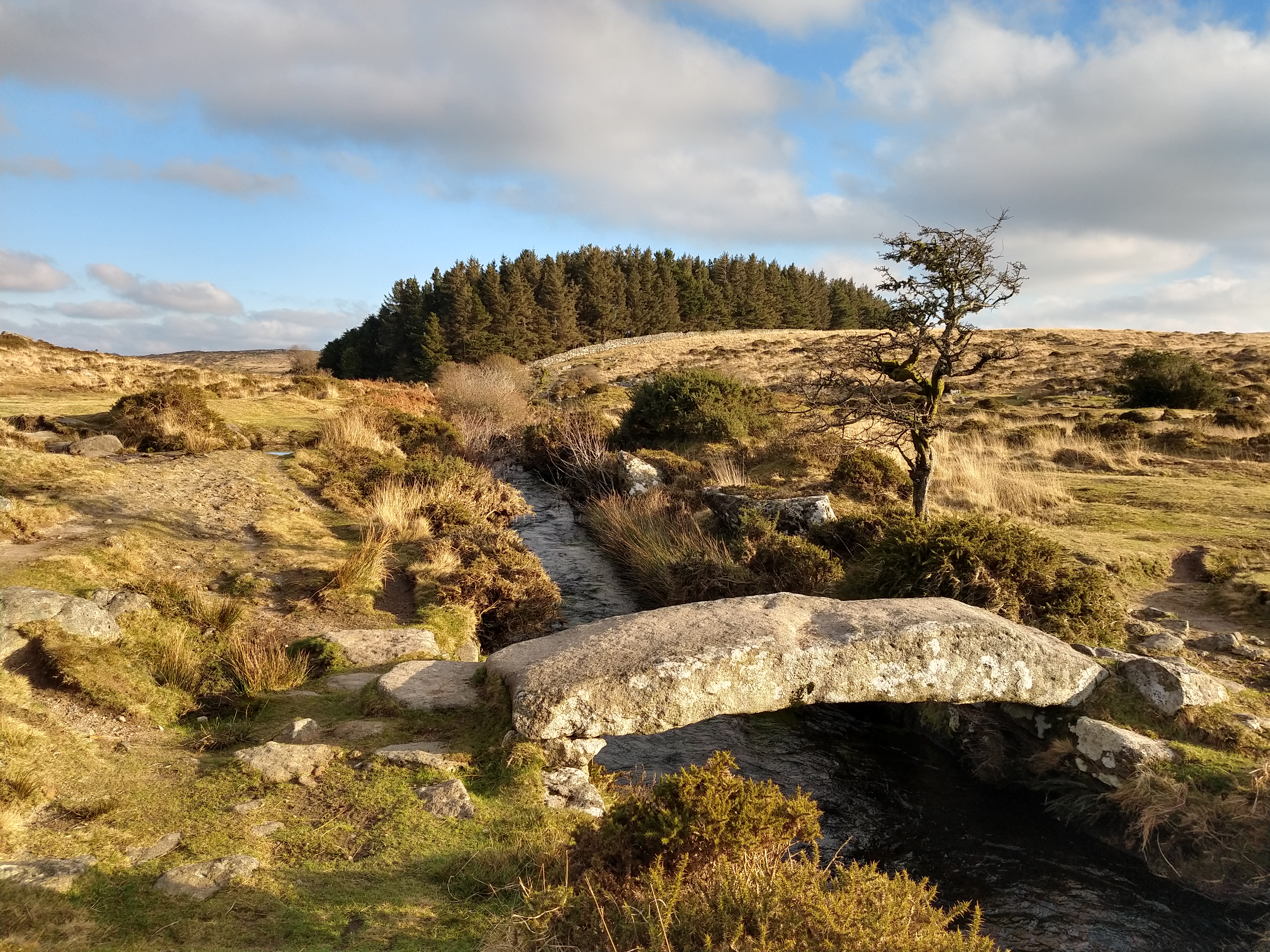
Fed and rested, it was time to move on. Over the clapper bridges, that cross the North Teign river and Gallaven brook and walking alongside Batsworthy, the lowering sun baste the surrounding hills in golden light. Soon Kestor Rocks came into view and the first people I had seen all day!

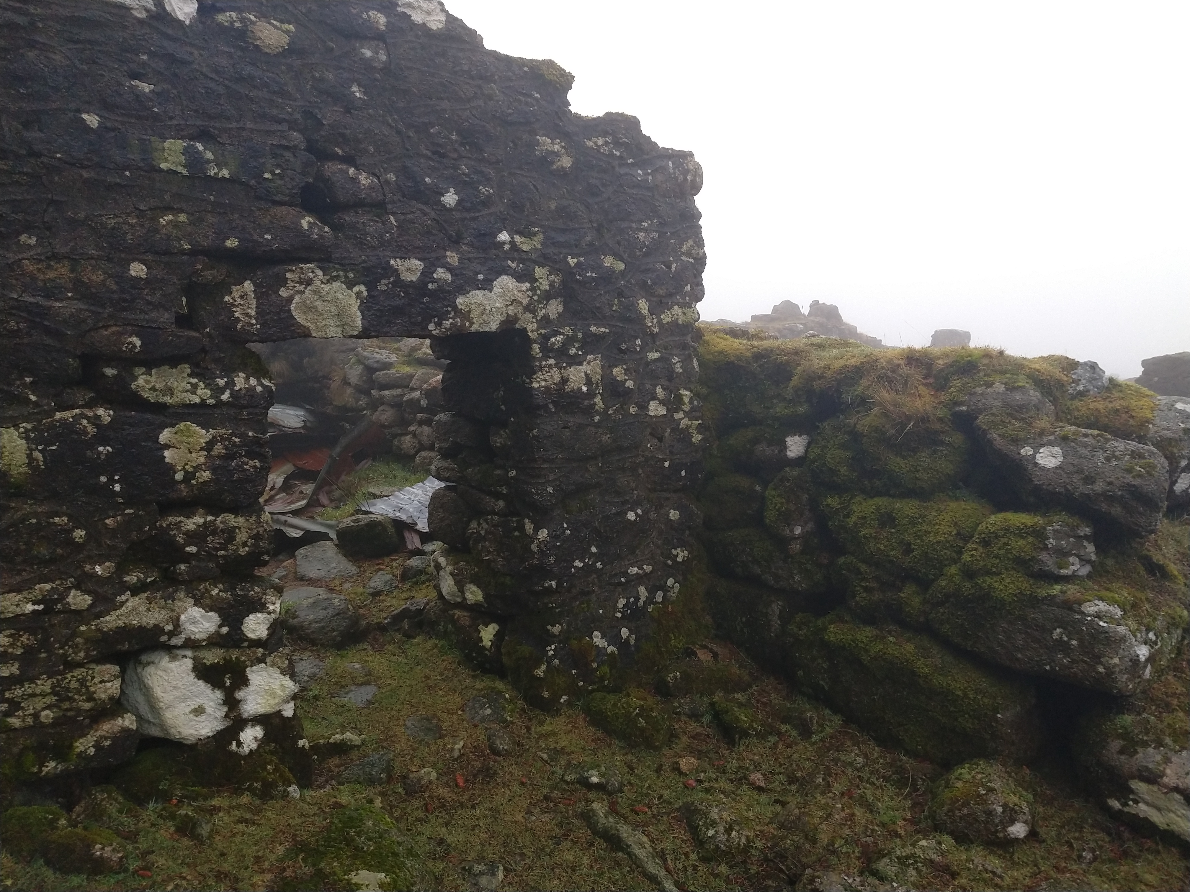
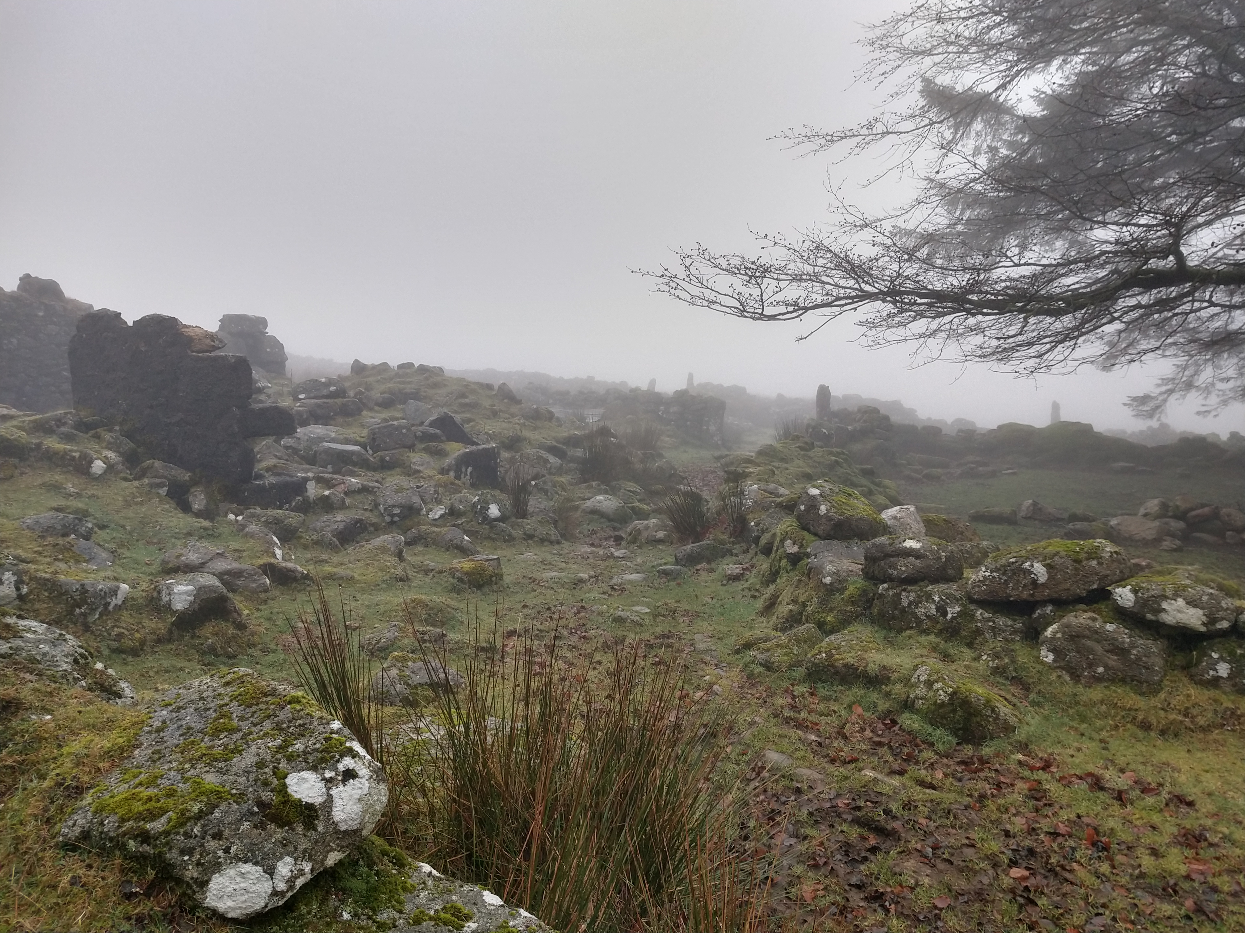
At Batsworthy corner sits Shoveldown.There is a multitude of antiquities here, stone rows, huts circles, boundaries and even a stone circle, tho not much of that is left. A whole other trip out would be needed to take it all in, but as time was getting on, I passed through the are, just stopping to take some pics of the main stone rows here.

Up over the hill, then onto Long Stone, a gigantic standing stone which reaches 3.1m high; this stone it has the markers for the parishes of Gidleigh, Chagford and the Forest carved into it, as they all meet here. Its one of the markers for the Perambulation of Dartmoor as well, though it’s thought that the original “Heighestone” was nearer the Fernworthy circle, a discussion for another time.

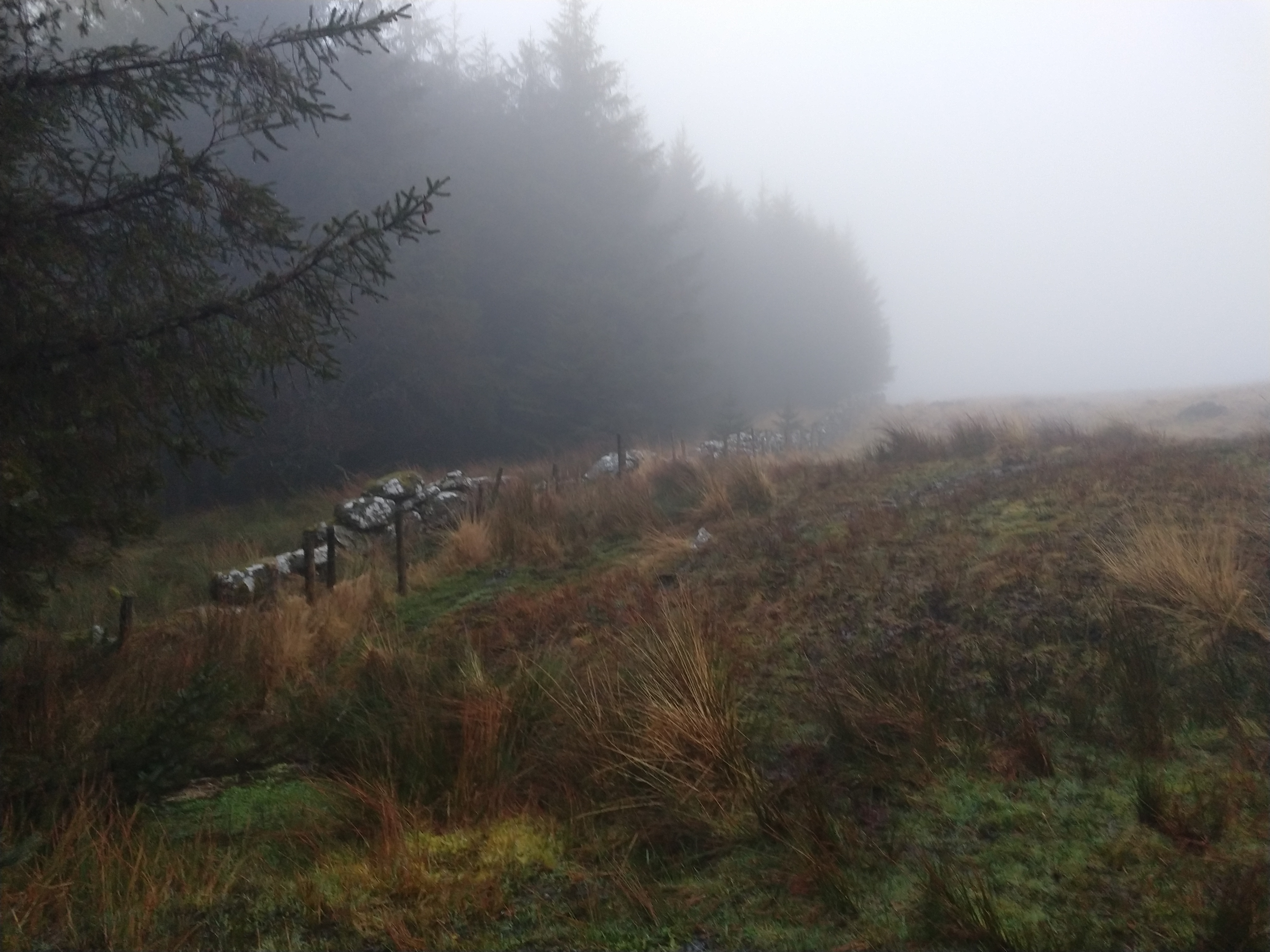
The sun was setting lower and lower, so was time to head home. Passing through the fields below Thornworthy Tor, the sun rays pierced through the clouds and onto Fernworthy Forest.

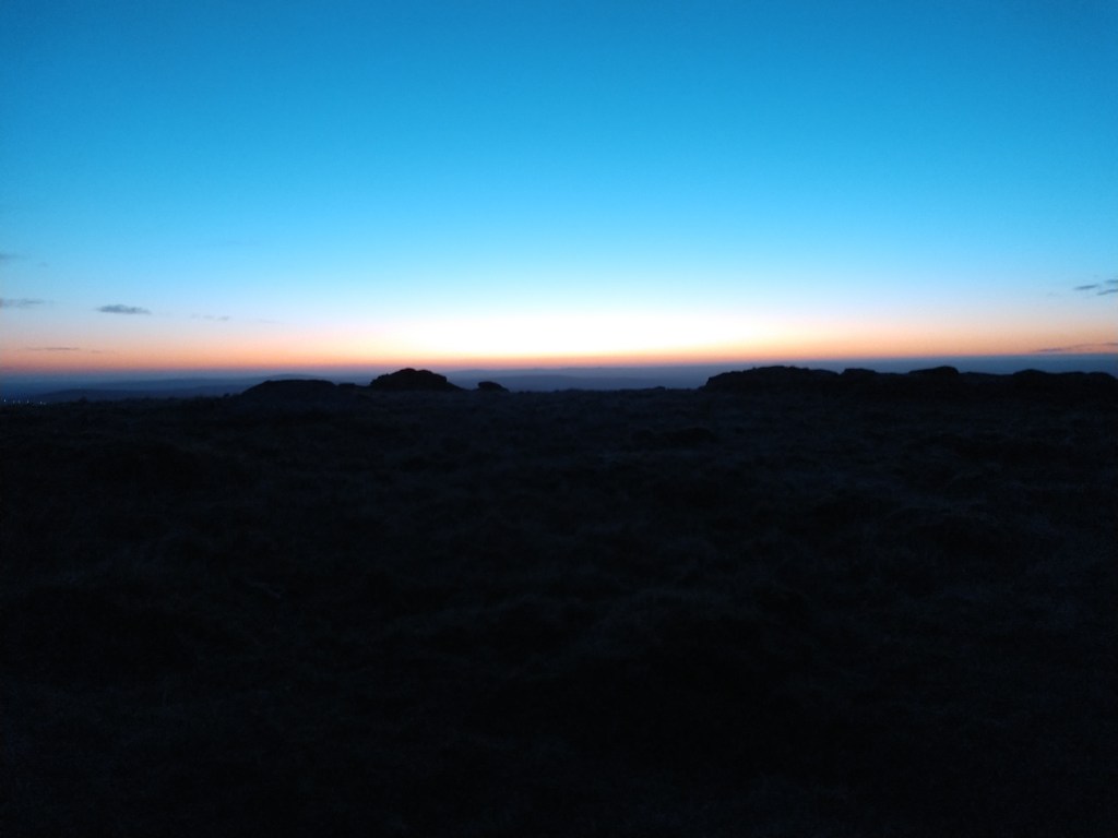
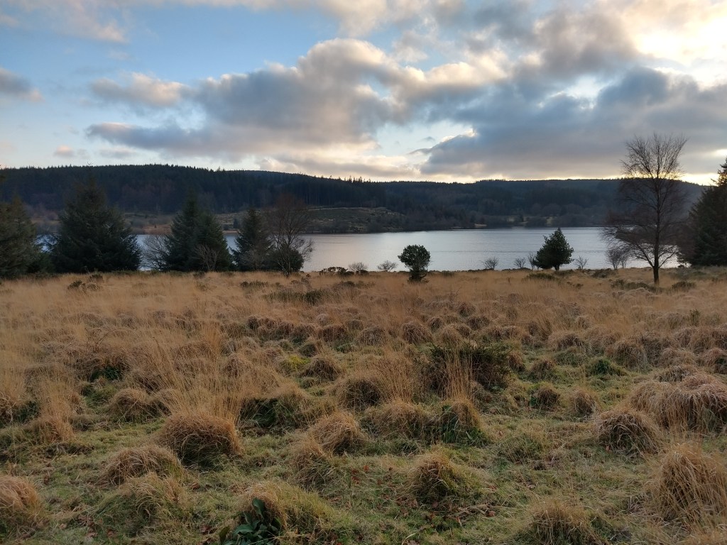
I had to head to Bennetts Cross, which is near the Warren Inn, to be picked up, so I still had a couple of miles to go before my hike was over, but the light was fading fast. I’m used to walking in the dark on Dartmoor, but it put an end to filming and taking pics so I took a last couple of pics of Fernworthy reservoir and headed down past the dam and up Chagford common to meet my wife in the carpark there for my lift home as darkness fell. All in all a great hike, and I’m hopefully fitter for the upcoming TGO.

film of the journey

references used :

JEREMY BUTLER – DARTMOOR ATLAS OF ANTIQUITIES – VOLUME 2 – THE NORTH

Fernworthy Dayhike

Boggy, Foggy and Soggy, with a hint of pine

I had originally planned to wildcamp this weekend, but with the missus suffering a cold, I decided to just go out for a dayhike around Fernworthy forest, to visit some stone rows and circles that I had been planning to see for a while. Following a chat on FB, Paul Buck and Max Piper asked if they could tag along, as they wanted to visit a tor in the forest, so we met up in a foggy Moretonhampstead to begin our adventure.

We parked in the little carpark near Bennetts Cross, just up from the Warren Inn, and made our way to our first port of call, the stone row on Hurston Ridge. Following the 2MW path and some good navigation by Paul, we easily found the row.

Then on to the Heath stone, just east of the main entrance to Fernworthy. We set off over Chagford common, the tree line haunting in the dense fog. We finally came upon the Heath Stone, a unremarkable lump of granite, that supposedly marks a boundary of the Dartmoor Perambulation. We then set off into the forest in search of a a tor that Paul and Max wanted to visit, Lowton Borough Rocks.

Following a logging track that winded it way through the forest, we came to a very dense section of young pines, and I mean dense, there was no way a giant like me was getting through there!!

“In there” Paul said, so in we went, fighting through the trees, for what seemed like ages. We occasionally stopped in the smallest of clearings to decide whether to push on, and push on we did. Finally, Paul gave out a shot “here!” and into view came a small outcrop, that once must have sat on this small hill looking down onto Fernworthy valley and over to Froggymead, before the plantation arrived.

A few pics taken, and then it was back out, which somehow was alot quicker,seemed we had been going in a bit of a circle, when looking for the rocks!! We burst out of the trees, completely covered in pine needles and soaked through. Almost had to strip down to get rid of the needles, I was still finding them on me at home that night!

Then it was onto Assycombe Stone row, a place I’ve wanted to visit for a long time, so we hiked thro the foggy trees, along forest tracks.

The stone row on Assycombe is arguably one of the best on the moors, although the fog might have helped with the atmosphere. Strangely, it slopes off down hill, with the cairn at the top, with a large hut circle very near the bottom of it. A weird layout to say the least.

After spending a time here, it was off to our next destination; Froggymead circle. We wandered down a track beside a stream that had some of the largest trees I’ve seen in Fernworthy, they were either here before the plantation or some of the first planted, either way very impressive. We came to the road that snakes round the reservoir and made our way back into the forest , heading up to Froggymead.

Coming on the circle, we decided that this would be a good spot to have lunch. Breaking out my stove I rustled up some nice hot chicken soup, just right for the day. As we sat, other people out enjoying the foggy forest would come in and out of view in the mist.

Froggymead stone circle

Lunch eaten, we now headed along the bridle path through Fernworthy , coming out at Long Ridge. Coming out onto open moors, the fog seemed to have gotten worse, so a bearing was taken to get us to our next destination, Teignhead farm. This was another place I, surprisingly, have never been to before, so we trudged over to the Clapper bridge which, according to Max, is the best on the moors.

if heineken made clapper bridges..

Along the old farm track to Teignhead farm, I was amazed at the structure that had once sat here, a small clapper bridge at the entrance to a magnificent walled driveway, leading up to the farm itself. In its heyday, this must have been a thriving farm.

But time was getting on, so we headed back to the bridge to make our way along the path to Grey Wethers stone circle, our last destination of the day. The walk along the path was muddy, making progress a little slow, but it wasn’t too long before stones appeared out of the mist.

This magnificent double circle is one of the impressive circles on the moors, although I feel that the “restoration” done to it has removed some of the character that some of the other circles on the moors have. But still, pics taken, it was time to head back to the car, so with a bearing taken by Paul, we set off to find the Fernworthy Forest boundary to aid our navigation back. Following the tree line, the path goes up and down like a rollercoaster, with boggy streams making the troughs hard going.

Finally, with darkness drawing in, we made it back to the car, wet, exhausted and with the hint of pine about us. A great day of hiking, Paul and Max happy with their tor bag, and more training for the TGOC. All in all a great day , with great company.

Paul, Max and others run a Website listing Tors, outcrops and rocks that are on Dartmoor.

http://www.torsofdartmoor.co.uk/

Arms Tor Wildcamp

The journey to Belstone had been interesting to say the least, Icy, slippery roads made the going slow, passing an accident just outside South Zeal, showing us caution was the best plan.Eventually , my wife dropped me off , and I was on my way over the Moors. Stepping up onto Watchet hill, I was greeted by a clear , crisp icy scene.

The plan , was to walk from Belstone, over High Willhays, cross the West Okement river, up and over to Arms tor, tho the actual route was fluid, not sure if I was going to cross at sandy ford and up to Kitty tor or down the river to cross at the weir, at Vellake corner, then up to Sourton tor, completely depending on the river conditions.

I made good time, even tho the rocky paths were covered in ice, passing Cullever steps, then up and past Rowtor and West Mill tor.

The army tracks made for an easy path as I then headed up to the highest point on Dartmoor, the Yes tor/High Willhays ridge. it was here the icy wind swept tho, chilling me, but the views where breaktaking to say the least.

The roof of Dartmoor was busy, locals, tourists and numerous 10 tors groups all enjoying this rare winter sun, but I didnt stay long, I had decided to not risk the river crossing at sandy ford, I could see alot of white water on the river,even from Fordlands Ledge, so headed off down the rough path to Black tor, then heading down past Black-a-tor copse on the bank of the river

I followed the river down to Vellake corner, where I crossed the weir, then started the long careful plod over ice-covered paths , up to Sourton tor. I headed off down the path, heading south over Coombe Down, then up and over Great Nodden, then fianlly, exhausted, I climb my last ascent of the day up to the summit of Arms tor. I was greeted by Steve and Karl , who had already arrived there. The sun was already setting, and due to the cold , my phone and camera batteries had all but drained, so decided to get on with setting up my tent.

sun setting from Arms tor

The wind had picked up alot by this time, a biting cold wind, so extra guylines where added to the Hilleberg to made sure I didnt have a repeat of the last time I camped on Arms tor, Where a strong winds had all but saw off my Hexpeak! We pitched our tents, made hot drinks, and chatted for a while as the night came in , but the cold,saw us soon head for our tents and sleeping bags, and I settled down in my Unna, eating a rather good meal of ristotto and beans , whilst watching a movie as my phone charged back up. I fell asleep , nice and cosy in my winter down bag, pretty much til morning.

The morning was the same as the one before, cold, windy, and a good frost covering the ground.The back of the tent was covered in ice, so I was slow to venture out of my cosy sleeping bag, but the morning drew on, so eventually rose. Steve and karl were already up and about time I had. But the view was spectacular on exiting the tent.

A quick breakfast and a large mug of tea , saw me ready for the day. time ticking on, We slowly packed up ready to head out. Karl and Steve had parked at the carpark below Arms Tor, so didnt have far to go, but I was heading back to Belstone, tho at this time unsure of what route back to take.

Karl and Steve had decided to head down and look at some old tinworks, that sat just below Great Nodden, so I decided to tag along. We headed down the side or Arms tor, and the mining was immense , alot bigger than it looked from above. 30 mins of exploring, with tales of Steves encounter with a ghostly old hag, that had visited him on a previous camp there, made for a pleasurable time. But it was soon time to part ways, them heading back to the carpark, and as I was already past Great Nodden, I decided to just go back same route I had come the day before.

Sourton tor, Shelstone tor, then back over the weir, past Black tor again, but this time, instead of following the path up to Fordlands Ledge, I pushed straight up the back of High Willhays, a strenuous climb, but eventually made it back to Hampster tor, which sits between Yes tor and High willhays, where I stopped for a well earned coffee and biscuits.

It was now a simple stroll down the Army range tracks back to Belstone, the afternoon sun, bathing the Moors in a wonderful orange glow, and it wasnt long before I was back at the carpark . All in all, a really good trip out, distance covered was bout 20 miles or so, so good training for the upcoming TGOC, but def more training needed.

route
video of the adventure

Cosdon Hill Hike

A Wild,Wet and Windy day

The day started as it continued, raining. I had planned to meet Steve ( Dartmoorwonderer) for a wildcamp, later in the day at Scorhill, and my plan was to walk a hike I had been planing for a while, to visit the stone circles that sit on the eastern side of north Dartmoor.

So, my wife dropped me off at one of my fav starting area’s,Belstone and I headed off round the eastern side of Cosdon.Pretty soon a succession of rain showers came rolling in, leaving a wonderful display of rainbows

However, it soon became clear that I had a rough path ahead, as the ground was saturated, a complete quagmire, and time I had got to my first stop, the triple stone row at the head of Cheriton Combe, I was already tired, tho waterproofs and boots holding up. But the sight of the stone row lifted my spirits.

Cosdon triple row
the head stones

But I didnt have time to rest here, time was ticking on, so I got a wiggle on and continued round the hill to pick up the path coming down from Cosdon to Hound tor. At this time my phone goes, steve cant make it, so after a call to the wife , I decided that a wildcamp in an area where I had no mobile signal, alone, wasnt the best option (still careful after my lung collapse), decided to make a hike of the day, by heading back along the path to the summit of Cosdon, its all TGOC training after all.

The wind at the summit was strong, 40+ mph, but the sun had come out bathing it in a golden light, and surprisingly for a sunday, no one else there, a rare treat at this popular spot.

Cosdon beacon
good view of the cairn that the beacon sits on
Cairn north of the summit

Ater a bite to eat on the summit, it was time to head back to belstone to be picked up, so headed down the north path , back thro the saturated ground that made going tough and tiring. overall, not a bad hike , not what i had planned for the day, but a good training hike nethertheless.

days route